Last Updated: 17th Apr 2024
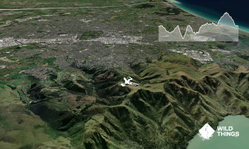
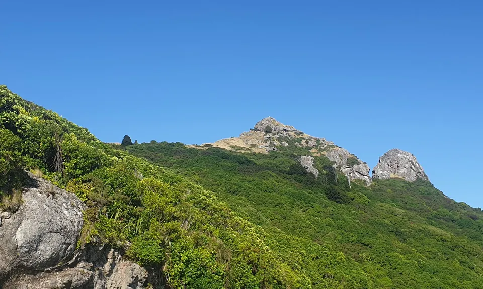
Rocking Gibraltar
Last Updated: 17th Apr 2024
Open
Grunt Factor: 8 ?
Gnarl Factor: 55 ?
4.5km
230m
230m
505m

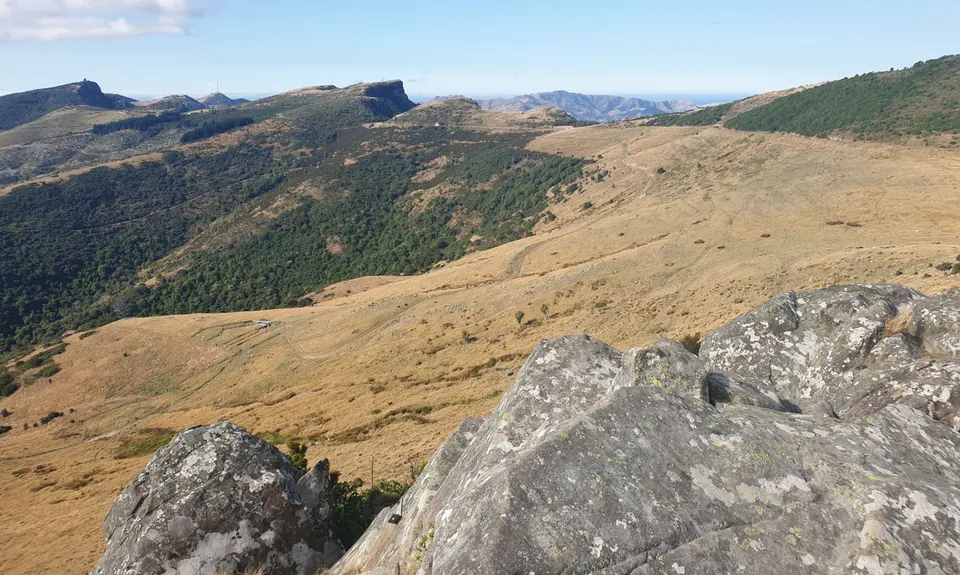
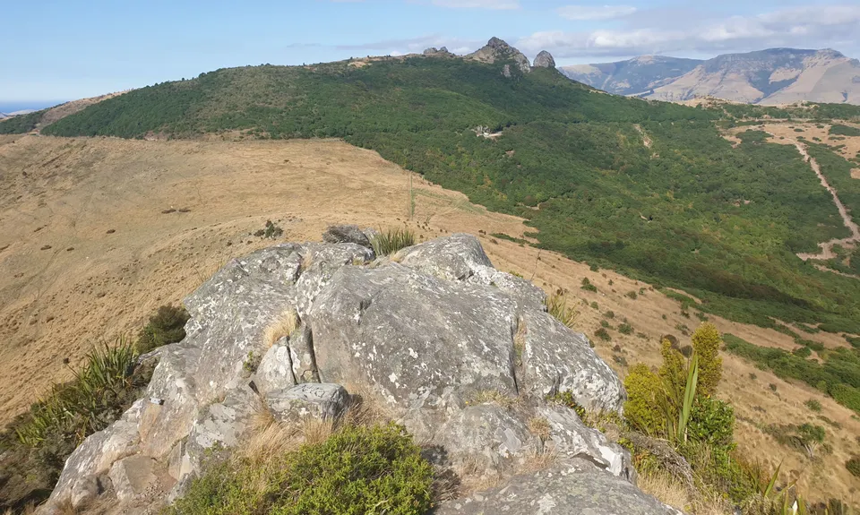
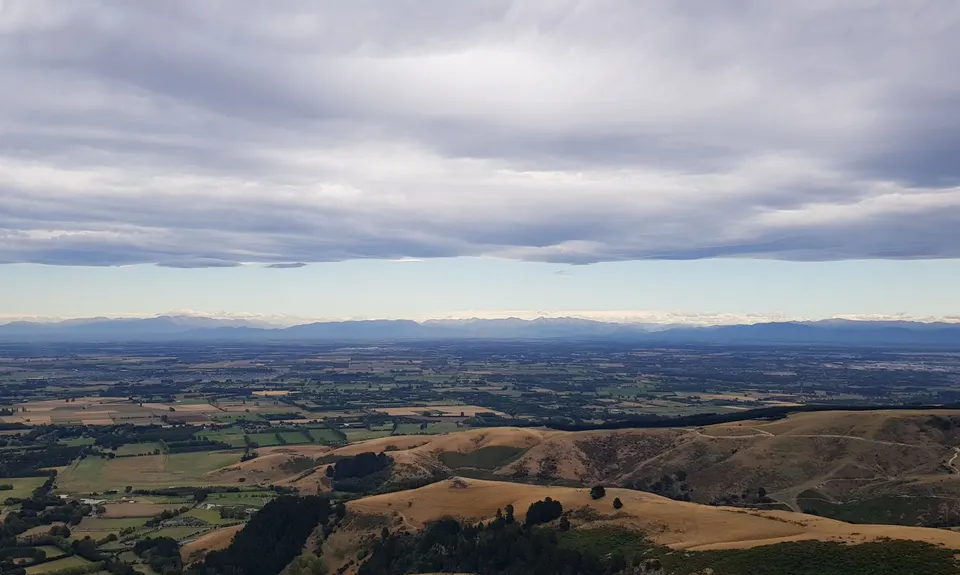
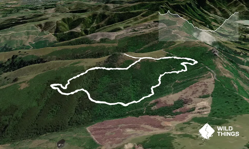
Trail Map
This Topo layer only covers NSW/ACT.
Switch to another map layer when viewing outside this area.
Switch to another map layer when viewing outside this area.