Last Updated: 20th Dec 2025
2 Sugars, 2 Vernons & a Half Shot
Last Updated: 20th Dec 2025
Open
Grunt Factor: 34 ?
Gnarl Factor: 38 ?
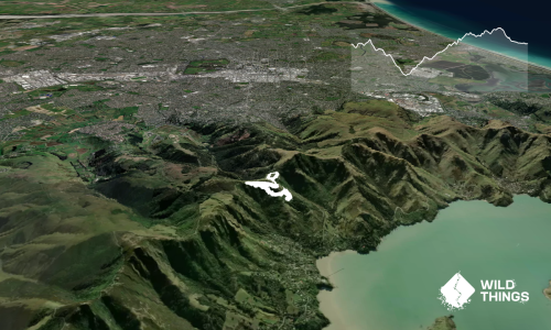
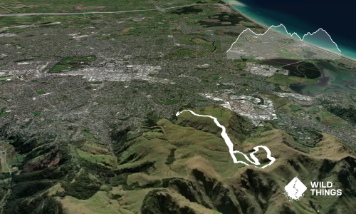
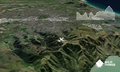
21.9km
1165m
1165m
498m

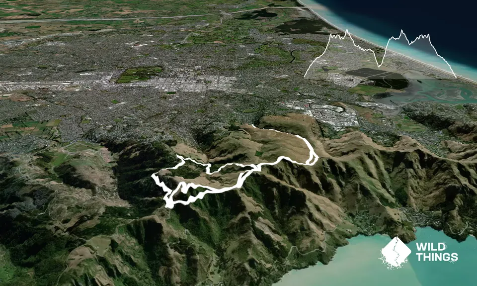
Trail Map
This Topo layer only covers NSW/ACT.
Switch to another map layer when viewing outside this area.
Switch to another map layer when viewing outside this area.