Last Updated: 30th Dec 2024
Gebbies to Packhorse Romp
Last Updated: 30th Dec 2024
Open
Grunt Factor: 16 ?
Gnarl Factor: 20 ?
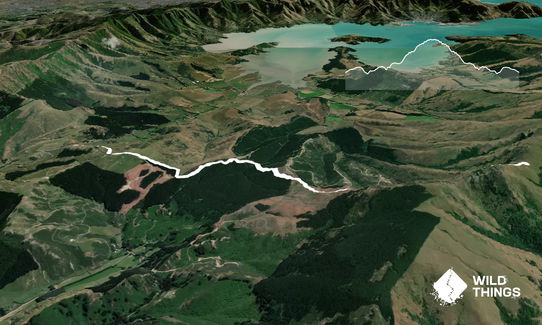
11.4km
470m
470m
453m

Last Updated: 30th Dec 2024
Last Updated: 30th Dec 2024
Open
Grunt Factor: 16 ?
Gnarl Factor: 20 ?
11.4km
470m
470m
453m
Front country - easily accessible
Out and Back
Undulating, some big hills
Plantation/exotic forest
Open tussock/grasslands
Open ridges/tops
Volcanic
Farm Road / 4WD Track
Easy Single Track
Average Uphill Gradient: +11.00%
Average Downhill Gradient: -11.00%
VIP Feature: Send this route to your Garmin account so you can follow the course on your Garmin device.
Become a VIP Member to see the trailhead information.
2:00
Slow
1:30
Moderate
1:00
Fast
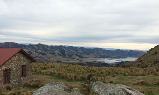
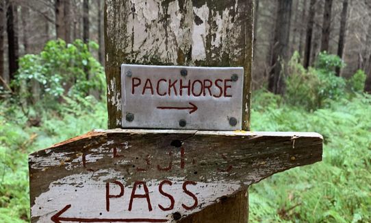
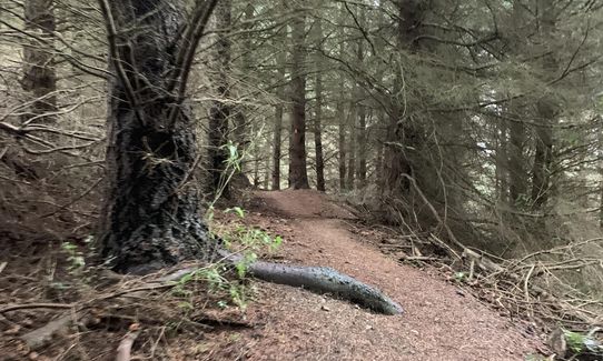
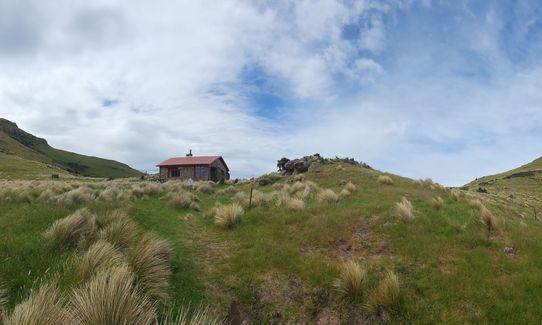
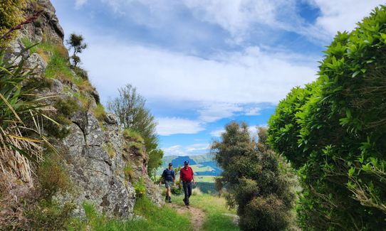
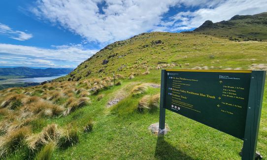
An easy out and back from Gebbies Pass to the Packhorse hut ... trail is easy to follow once off the 4wd access road. Mostly climbing through pine forest with a couple of k's of nice sweet single track along the edge of the hill before you reach the hut, then an awesome downhill blat back to the cars.
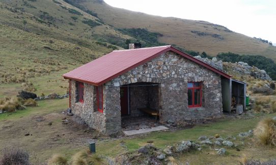
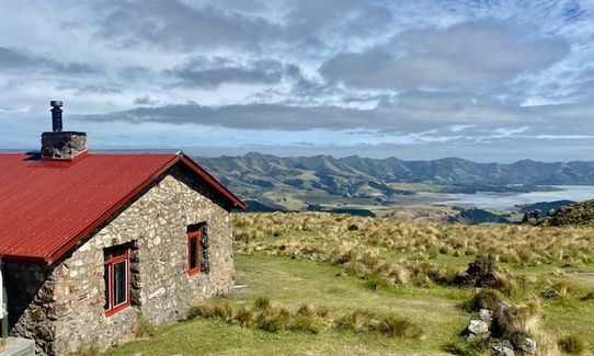
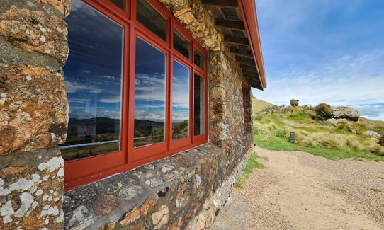
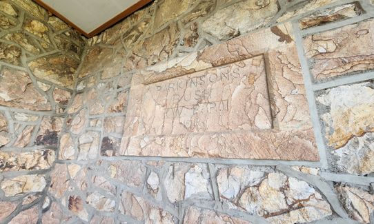
Packhorse Hut ... one of the original stone teahouses on the route from Godleys Heads to Akaroa that was intended to be the Summit Road
If you know of any public toilets near the trail start or on the route, please login and then let us know so we can update this section.
Parking for about a dozen cars. Don't leave valuables in car if leaving overnight as hoons seem to enjoy breaking into vehicles here ... okay during the day
24 km
37 minutes
No
No
Easy.
Generally good.
Seam-sealed waterproof jacket, Windproof jacket, Gloves, Beanie/thermal headwear, Personal Locator Beacon (PLB), Whistle, First aid kit, Extra food for emergencies, Cellphone, Map
Drinkable water at the Packhorse - round the back of the hut.
Track is closed during lambing
Do you have a suggestion on where to go afterwards for the best coffee / cake / breakfast / brunch / beer?
Trail Legend
Login as a VIP to become a Trail Legend. Learn about Trail Legends.
Fastest Known Times (FKTs)
You and Gebbies to Packhorse Romp
As a VIP member you can record private notes for this trail, see all of your times and more.
Already have an account? Login now
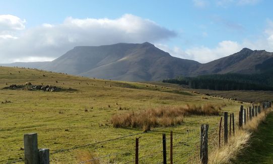
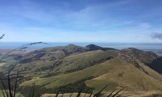
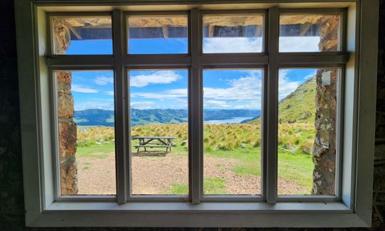
Stunning little up and back, sweet views, we arrived at the hut just as a southerly change hit, low clouds sweeping fast over the tops of hills, so atmospheric sitting eating lunch under the brooding Mt Bradley!! This would be a super stunning moonlight walk or wake up in the hut after a dusting of snow!!
November 17, 2023
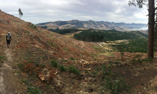
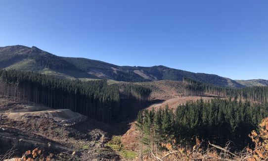
Wow, the logging continues! The track used to go through two sections of pine forest… now there’s one section. Don’t get me wrong, I like having timber products - it’s just that recently logged forest is not the most scenic place to run ;) It’s good for meditation on consumerism and humans’ impact on the environment. Also the hut is lovely as always!
October 21, 2021
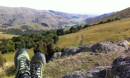
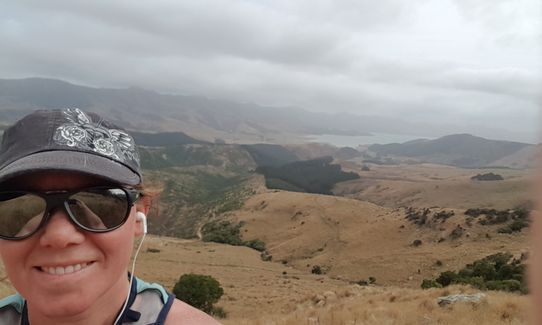
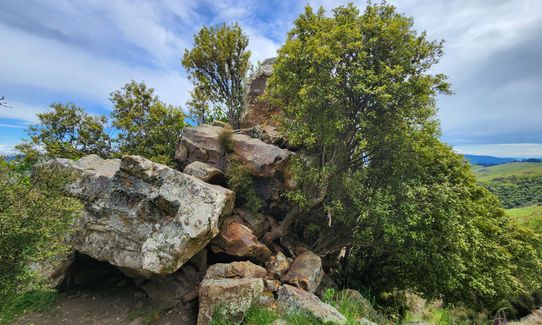
Nice mixture of trail from smoothie grass to narrow volcanic bit underfoot. Brilliant views along the way.
March 14, 2021
Great mix of terrain
Views are nice once you reach the Hut
Worth doing it :)
January 14, 2021
These overlap with this trail to some degree. You may wish to combine them but please note that to qualify for FKTs on these runs you should record a separate activity for each.
Send to your phone
Scan the below QR code to open this trail on your phone.

Tip: position the QR code in your phone camera screen.
Plan smarter, stay motivated, track your progress, and unlock the full Wild Things experience — while saving along the way.


