Last Updated: 14th Oct 2025
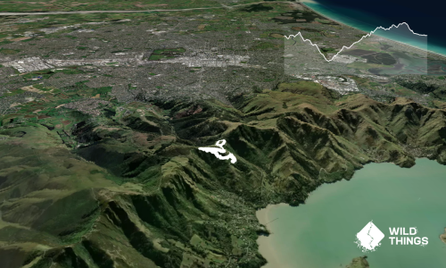
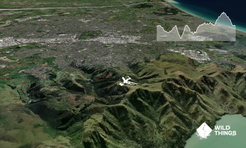
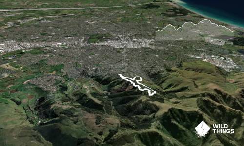
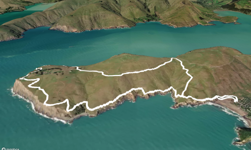
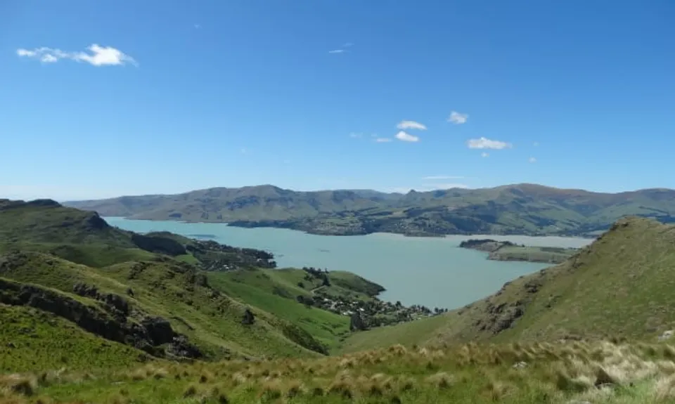
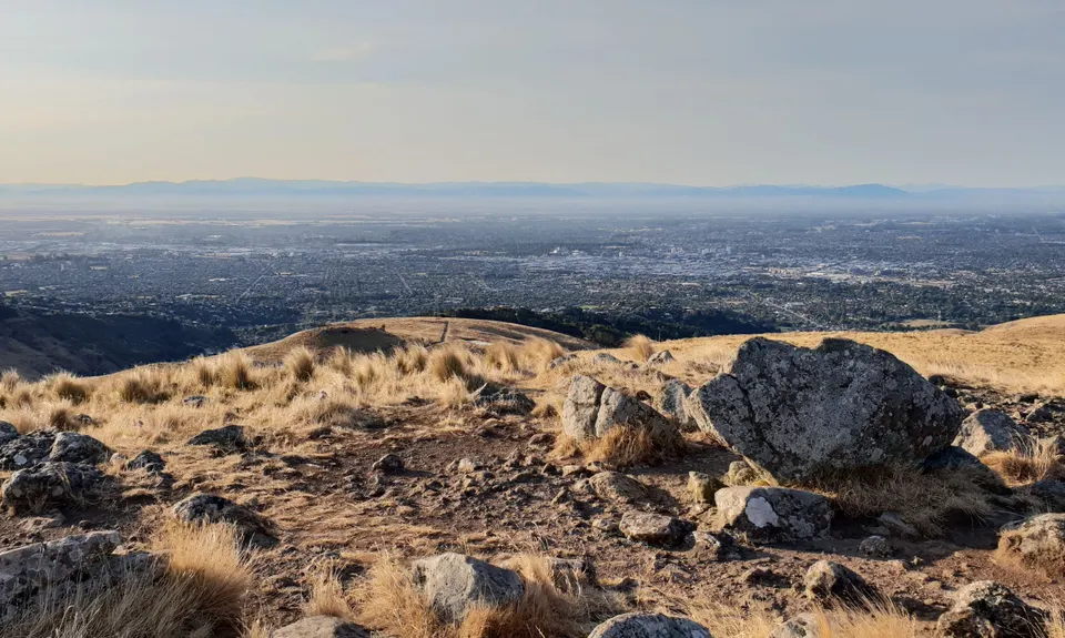
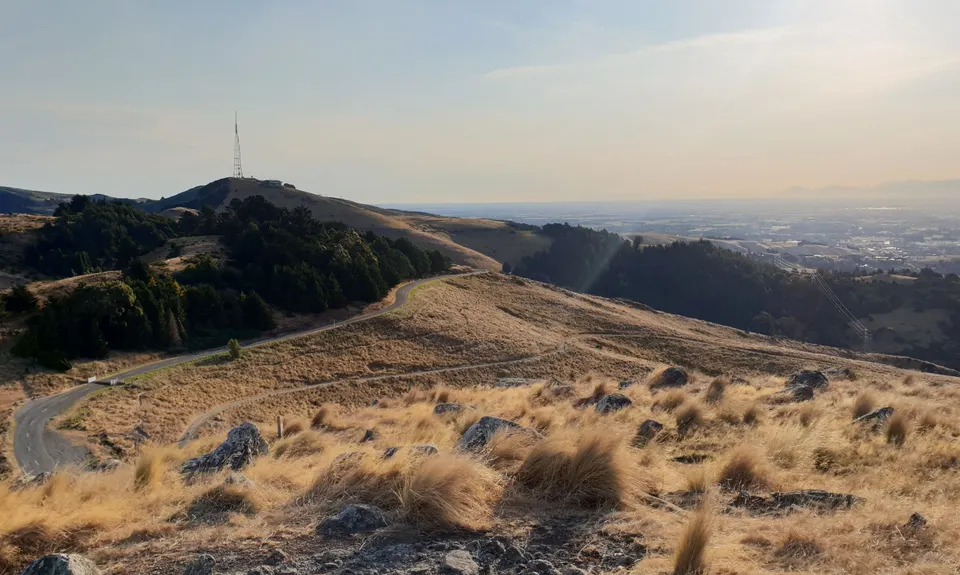
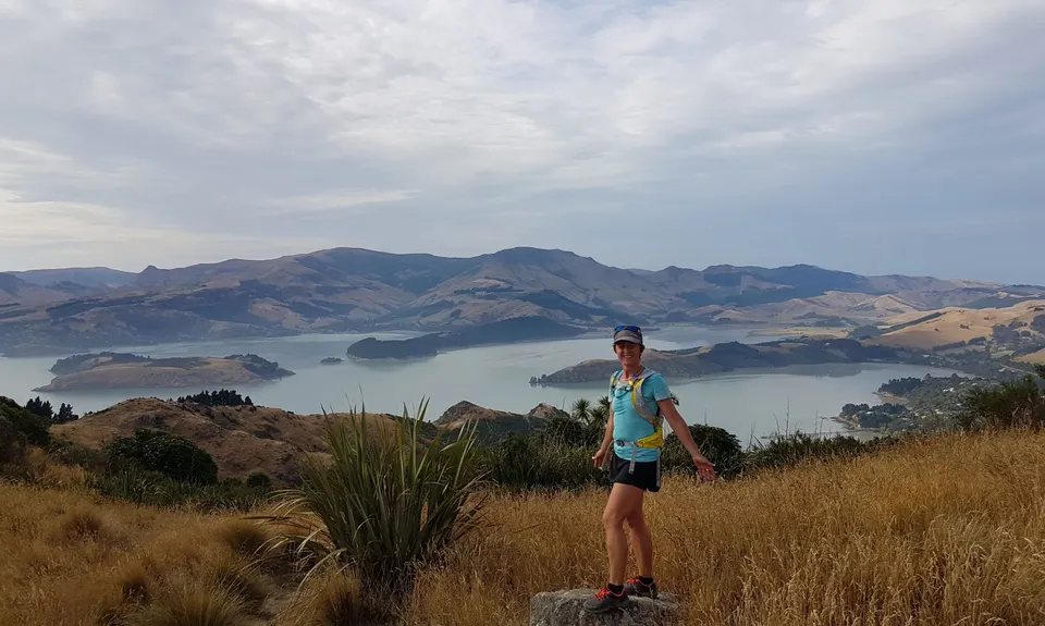
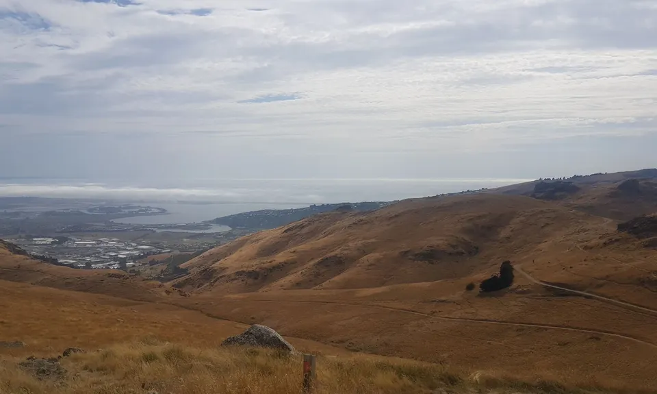
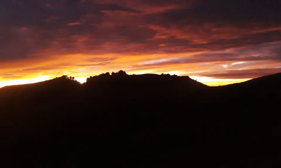
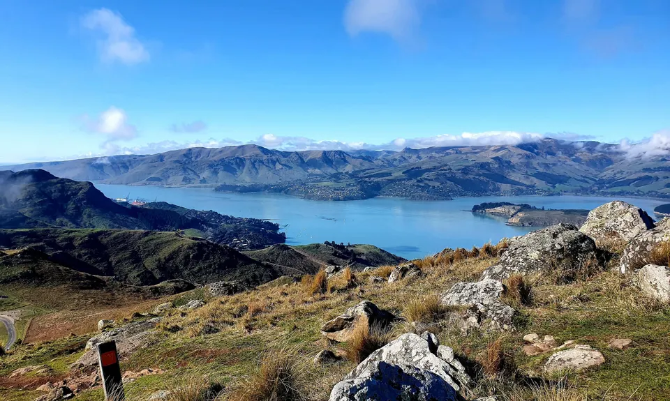
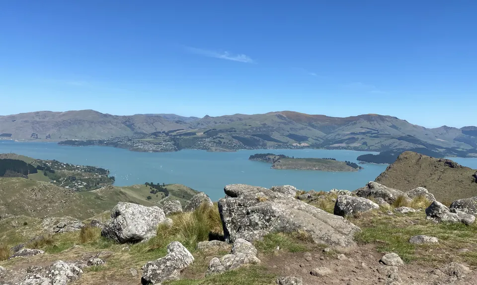
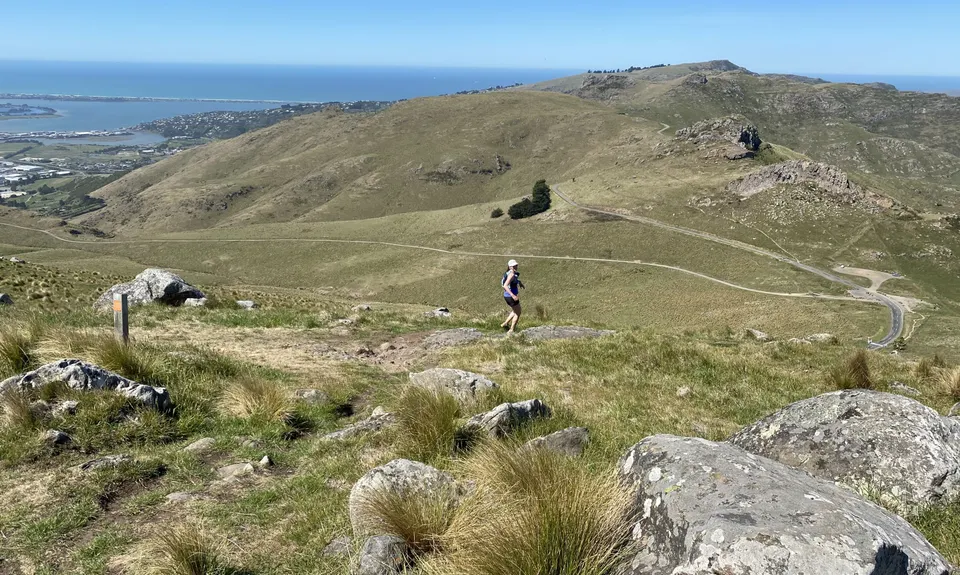
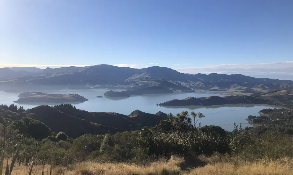
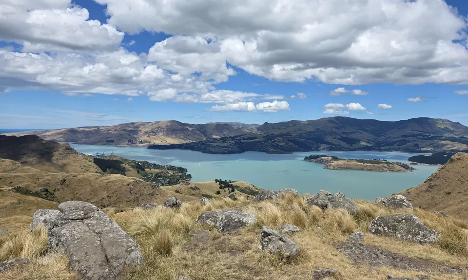
Sign Of The Takahe - Rapaki
Last Updated: 14th Oct 2025
Open
Grunt Factor: 18 ?
Gnarl Factor: 41 ?
13.0km
480m
480m
450m


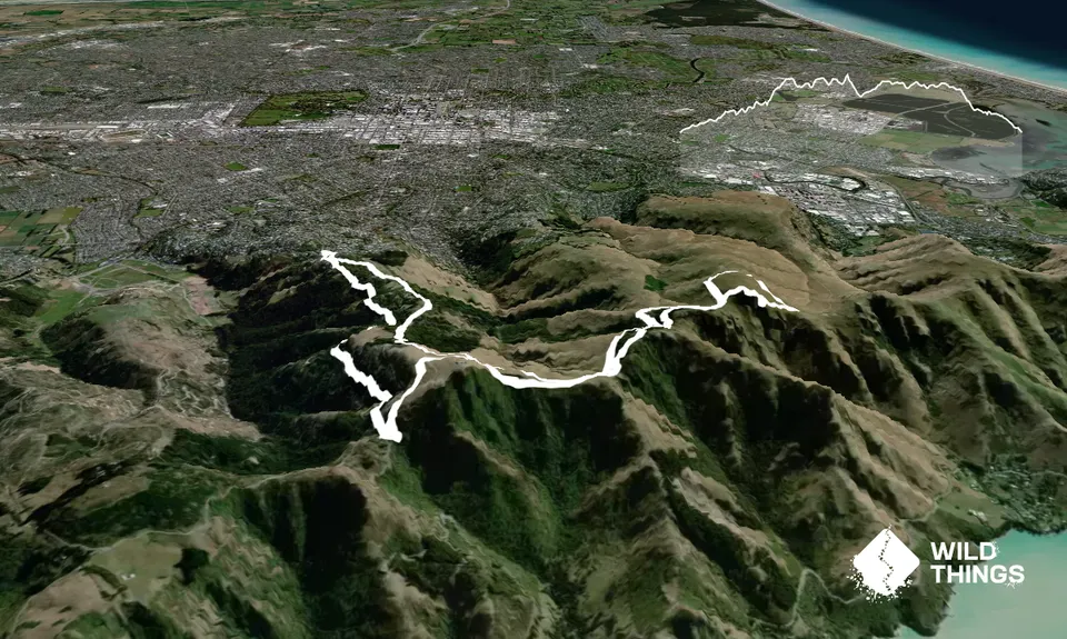
Trail Map
This Topo layer only covers NSW/ACT.
Switch to another map layer when viewing outside this area.
Switch to another map layer when viewing outside this area.