Last Updated: 29th Apr 2024
A Diamond in the Rough
Last Updated: 29th Apr 2024
Open
Grunt Factor: 33 ?
Gnarl Factor: 50 ?
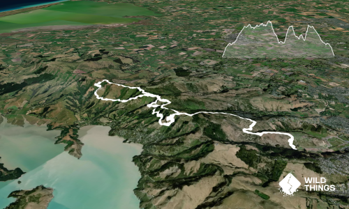
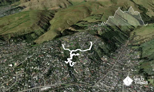
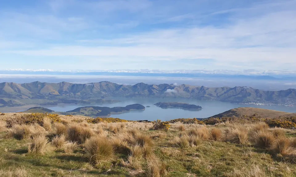
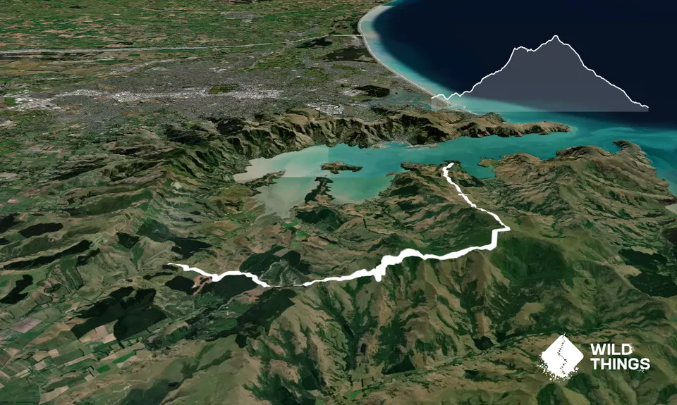
19.0km
940m
1030m
919m
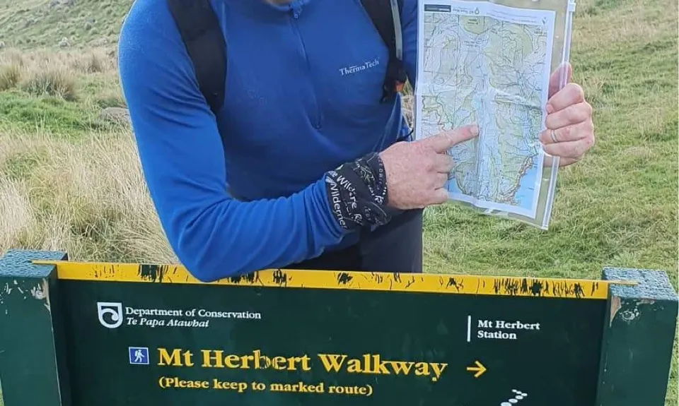
Trail Map
This Topo layer only covers NSW/ACT.
Switch to another map layer when viewing outside this area.
Switch to another map layer when viewing outside this area.