Last Updated: 9th Apr 2024
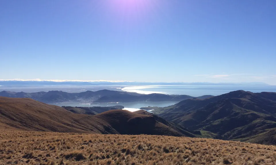
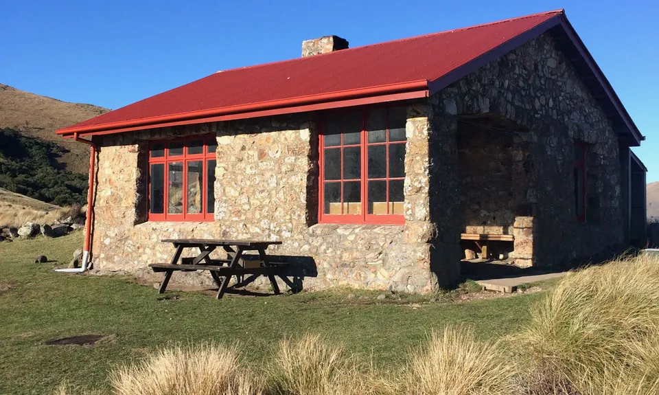
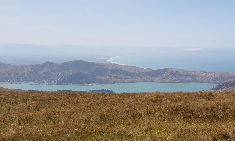
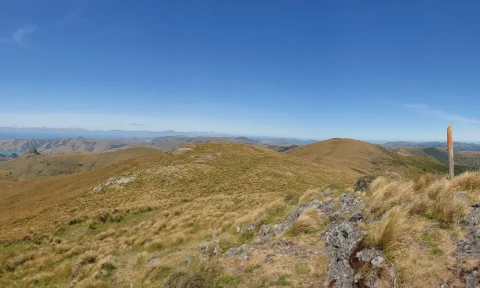
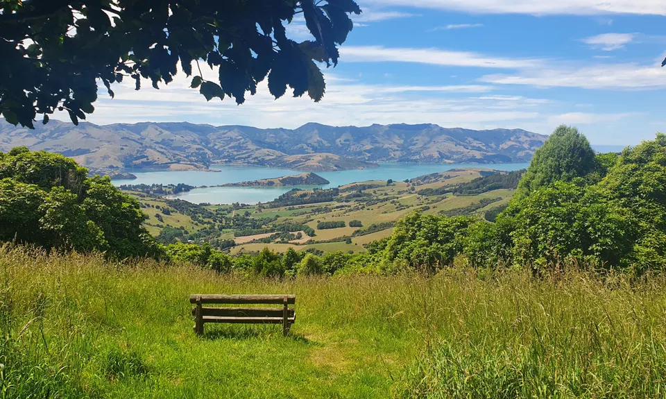
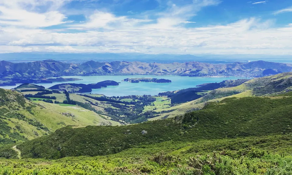
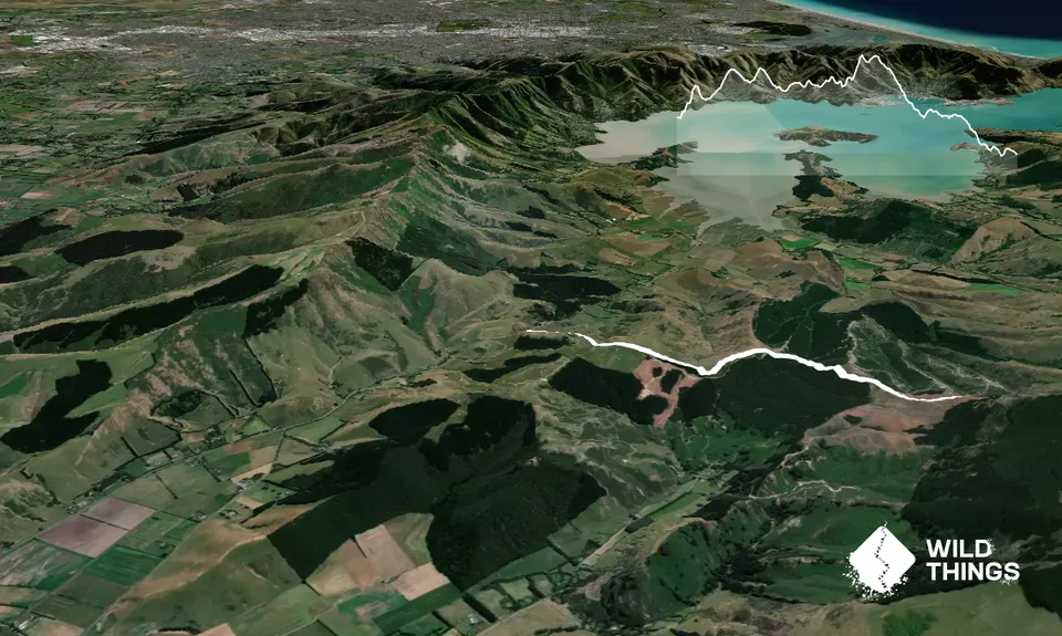
Summit Walkway
Last Updated: 9th Apr 2024
Open
Grunt Factor: 50 ?
Gnarl Factor: 36 ?
34.0km
1700m
1400m
915m
.png)
Trail Map
This Topo layer only covers NSW/ACT.
Switch to another map layer when viewing outside this area.
Switch to another map layer when viewing outside this area.