Last Updated: 9th Oct 2024
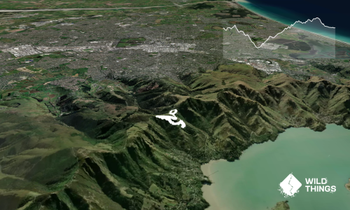
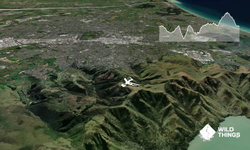
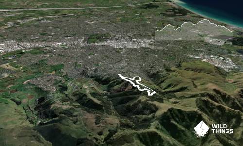
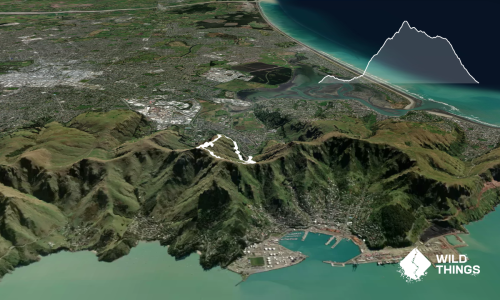
VKV challenge
Last Updated: 9th Oct 2024
Open
Grunt Factor: 16 ?
Gnarl Factor: 42 ?
10.0km
500m
500m
462m

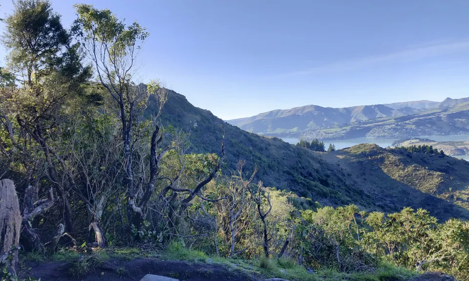
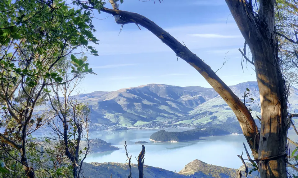
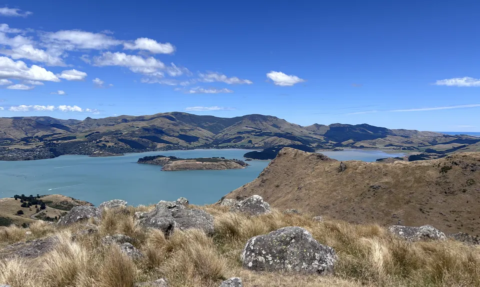
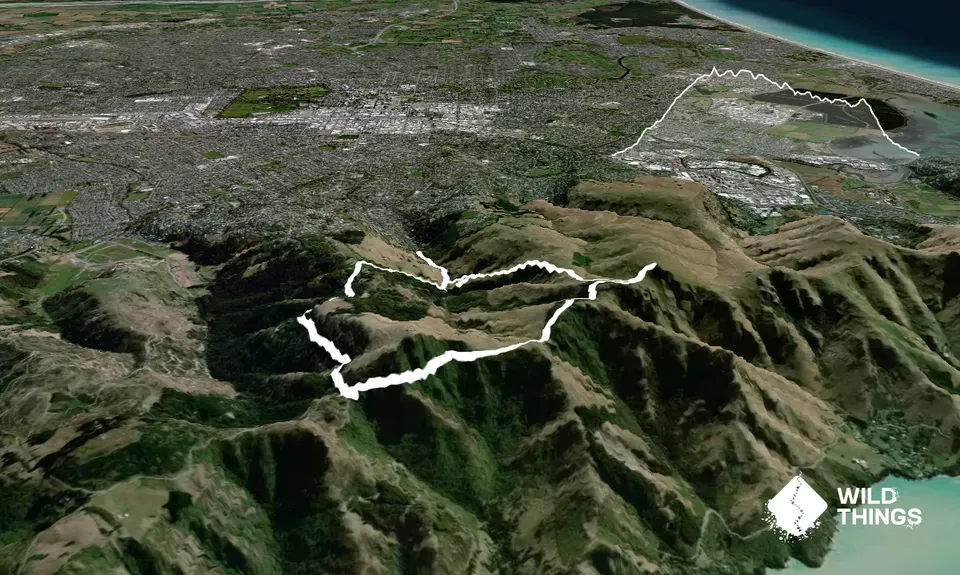
Trail Map
This Topo layer only covers NSW/ACT.
Switch to another map layer when viewing outside this area.
Switch to another map layer when viewing outside this area.