Last Updated: 14th Feb 2024

Beginner - Intermediate

Save Trail Save

I've done it Done

Frogger

Christchurch, Canterbury

Submitted by Brion Matthews

Last Updated: 14th Feb 2024

Beginner - Intermediate

Save Trail Save

I've done it Done

Open

Grunt Factor: 10 ?

Gnarl Factor: 37 ?

5.5km

360m

360m

320m


Login as a VIP to see driving directions, distance and time.

Trail Map

Type of Run

Urban fringe

Loop

Undulating, small hills only

Native bush

Open farmlands

Open tussock/grasslands

Run Makeup

15%
5%
40%
30%
10%

Sealed Road

Farm Road / 4WD Track

Easy Single Track

Moderate Single Track

Untracked / Route only

Average Uphill Gradient: +13.1%

Average Downhill Gradient: -13.1%

Trailhead

Login as a VIP to see the trailhead information.

Estimated Times to Run

1:00

Slow

0:45

Moderate

0:30

Fast

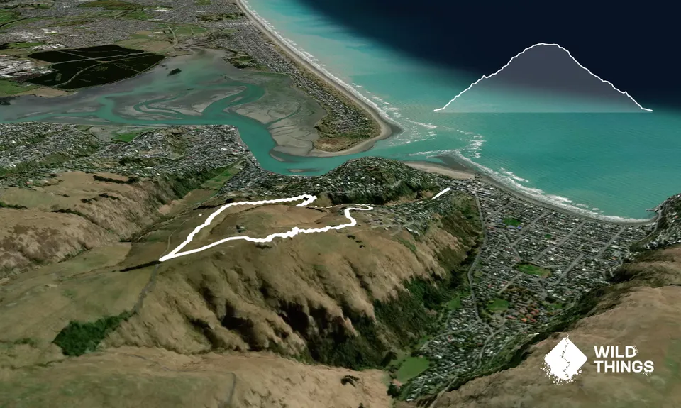
Start out at the bottom of Richmond Hill Road and run the footpath until the hairpin (around 300m).

At the hairpin there is the start of a walking track that heads up the gully. Follow the track until reaching a small bluff where you take a quick deviation to the right to ascend the bluff before reconnecting onto the Richmond Hill walking track.

This is not technical and is easy going. (If you have time, it is worth following the faint hint of a track leading rightwards up from the bluff. It connects onto an old but overgrown walking track that carries on for around 500m before dead ending at the bluffs visible from Nayland Street down below).

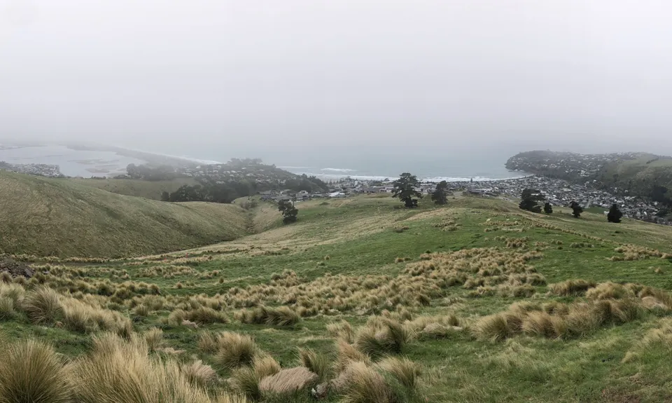
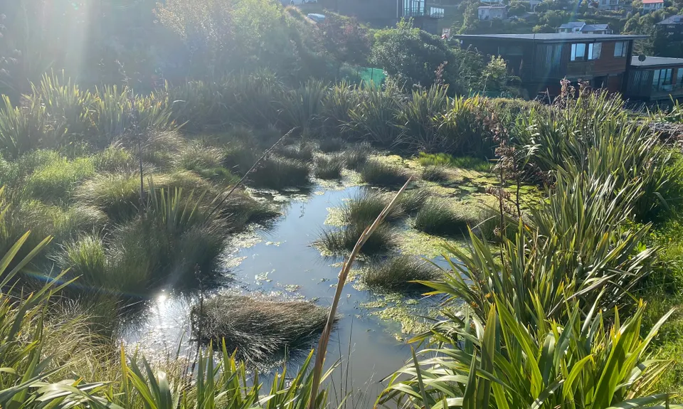
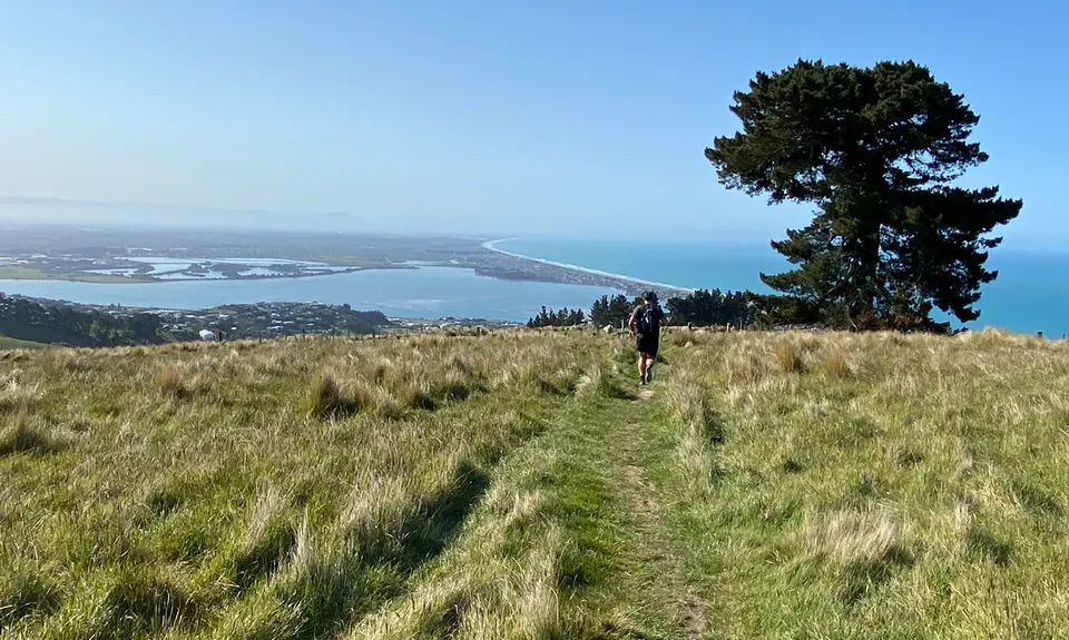
Carry on up, past the stiles at Clifton Terrace and follow onto the Frog Pond track that will take you up to Summit Road. Listen out for the frogs. Pause for a breath before turning around and heading back downhill.

Take the right most gravel farm road and veer off to the right towards Windsor Castle about where the sheep yards are.

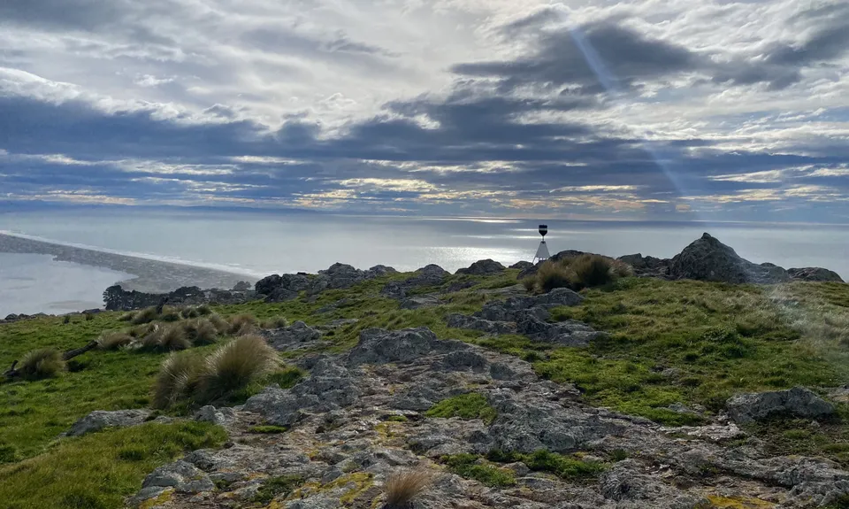
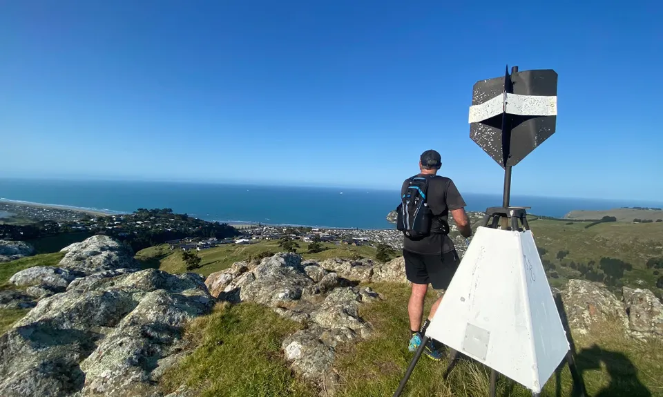
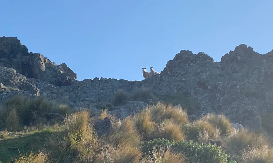
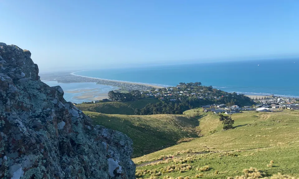
Follow around the tops of Windsor Castle, taking a natural line towards the trig. You will need to pass through a few farm gates to do so. Take in the unique views at the trig before scurrying down the back side of it.

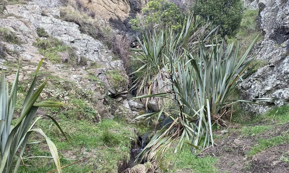
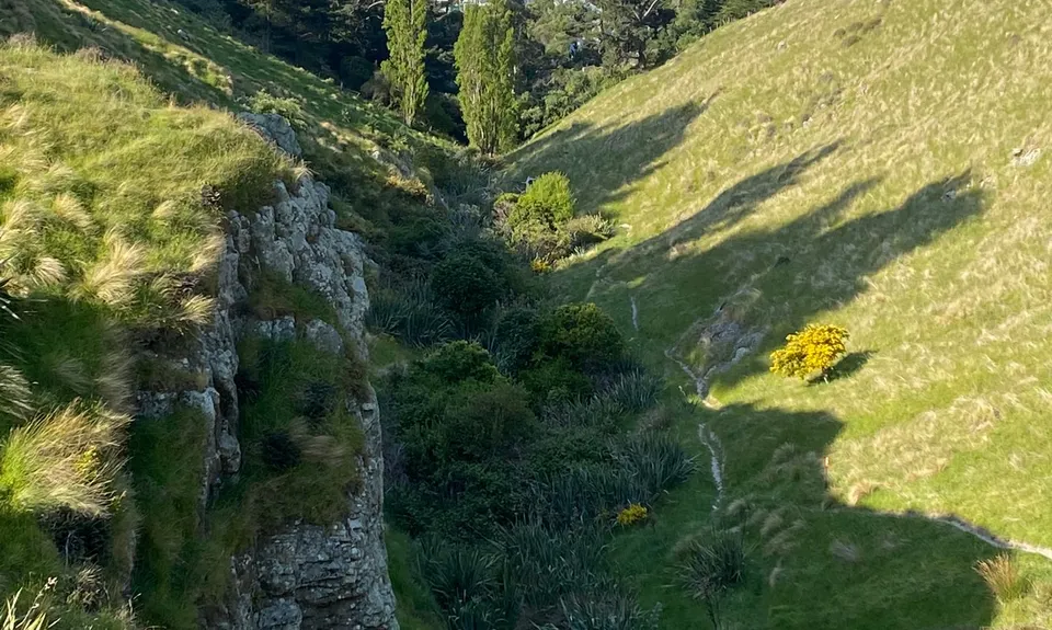
You will see a passage of worn rock leading down the back through some terraces and down some old stone-built steps. Take a natural line down towards the houses before swinging left towards the large gate at the top of Richmond Hill Road. Cross over the gate and amble the short section of road until just past Whiterock Lane, where to the left is a reserve that flows downwards towards the frog pond area.

After the gate, instead of taking the major track back up the valley, there is a smaller track to the right that will connect you back to the Richmond Hill walking track. If you miss this, the other track will link up anyway. A rock cairn is placed at the corner, which you may have noticed on the way up. Smash the downhill back to the road. Alternatively start at the Clifton Hill stiles.

Park on Nayland Street or low down on Richmond Hill Road.

13 km

22 minutes

Unknown

No

Moderate.

Generally good.

Whistle, First aid kit, Extra food for emergencies, Cellphone, Map

There is a tap by the water tank at the farm road by Eastenders that requires a very small deviation to get to near the top of the Frog Pond climb.

Richmond Hill track can be very slippery after rain.

Trail Legend

Tony Sharpe

Tony Sharpe

has completed Frogger twice in the last year.

Learn about Trail Legends.

You and Frogger

As a VIP member you can record private notes for this trail, see all of your times and more.

Register Now

Already have an account? Login now

Trail Reviews

Great fun. Defo better if it's dry though

Tony Sharpe

November 11

Awesome urban adventure, packed into a short loop. Bonus for having a new bit of trail I had never done before!

Matt Halverson

August 23, 2022

A fun run! Nice single track loop with a teeny bit of gravel and pavement mixed in. Good elevation gain for a short run but nothing too steep. Views were amazing and it was great to explore new trails.

Stefanie Parks

August 6, 2022

Login to submit a review

Trail Running Community

Find people who are interested in or have completed this trail run.

You must register or login to view this feature.

Register Now

Overlapping Trails

These overlap with this trail to some degree. You may wish to combine them but please note that to qualify for FKTs on these runs you should record a separate activity for each.

Punk Rock Assault On Windsor Castle

Punk Rock Assault On Windsor Castle

Length: 12.0km

Level: Intermediate

Other trails nearby
Montgomery Loop

Montgomery Loop

Length: 7.9km

Level: Beginner - Intermediate

Living Springs Loop

Living Springs Loop

Length: 7.5km

Level: Beginner - Intermediate

360 Trail - Dunes Wetlands Section

360 Trail - Dunes Wetlands Section

Length: 15.9km

Level: Beginner

Pour Some Sugarloaf On Me

Pour Some Sugarloaf On Me

Length: 8.3km

Level: Beginner - Intermediate

Find more trails and peaks nearby