Last Updated: 30th Jul 2025
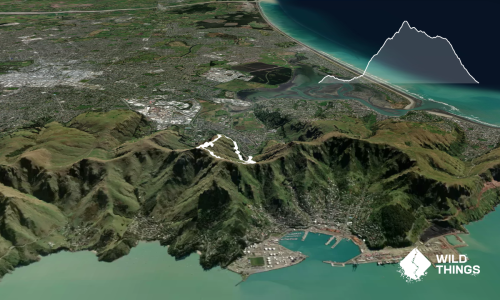
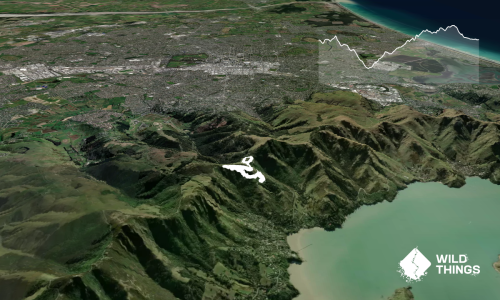
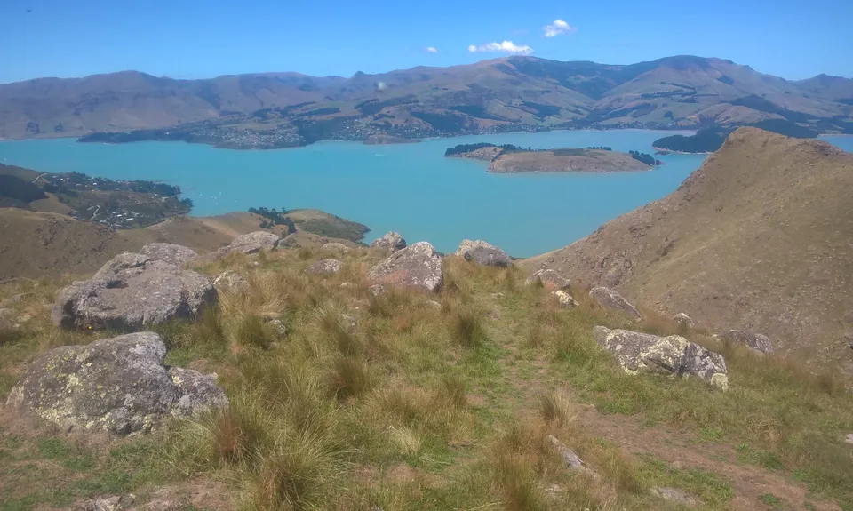
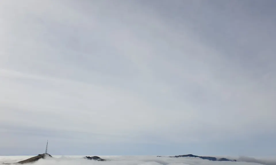
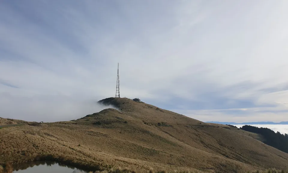
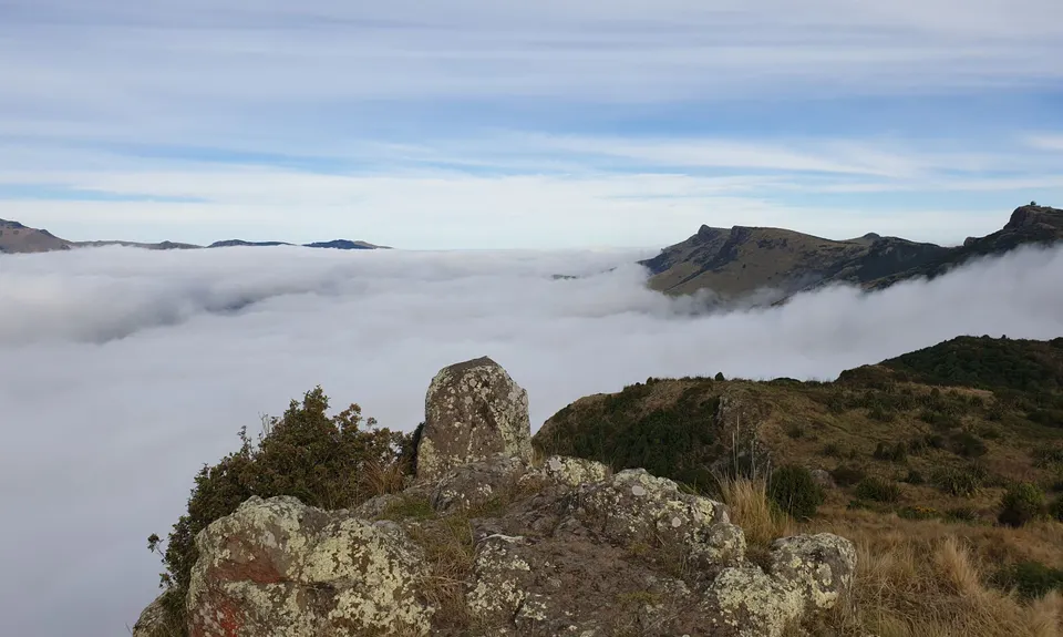
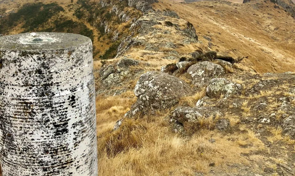
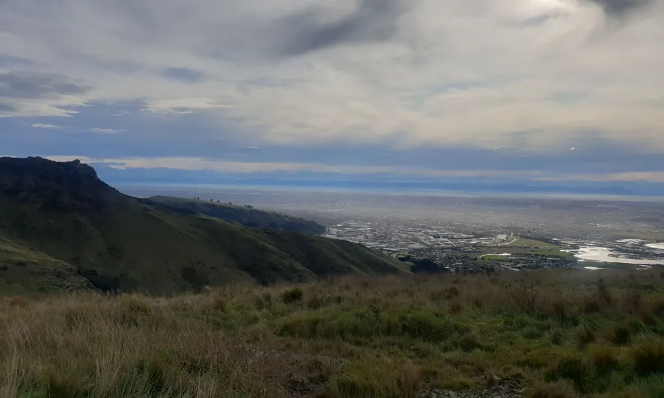
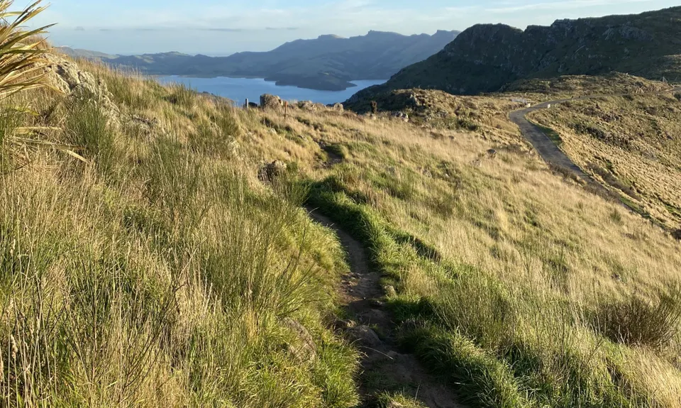
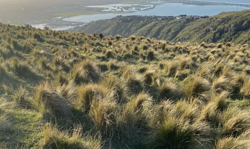
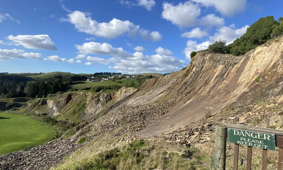
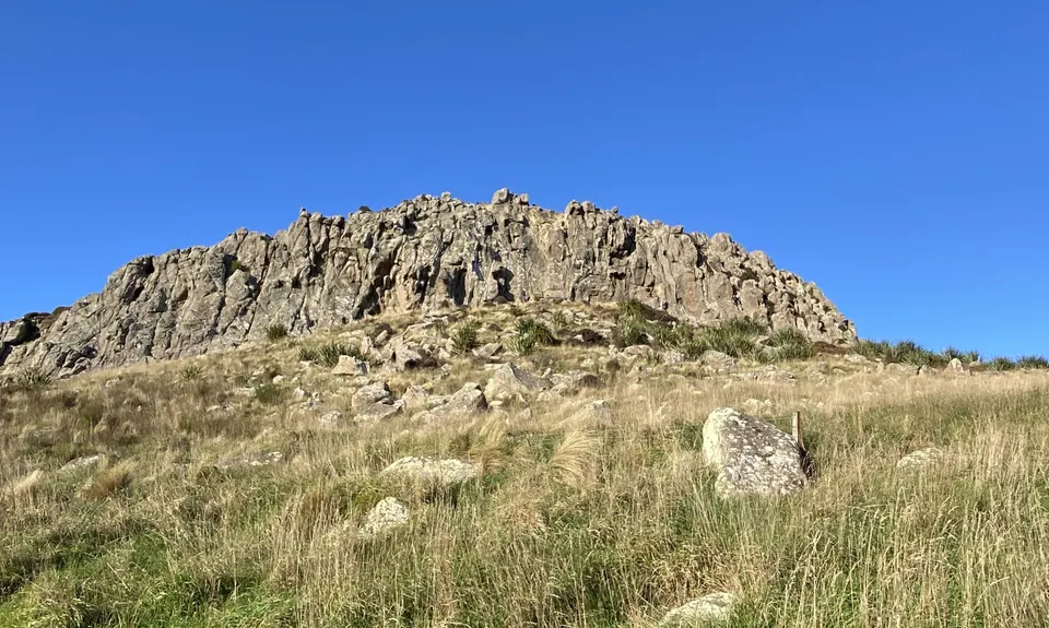
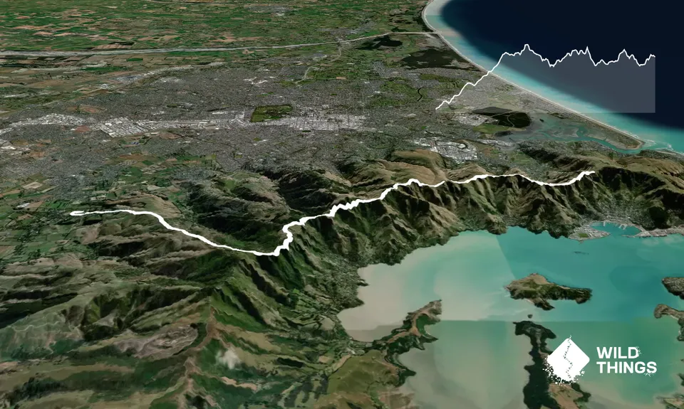
Christchurch 360 Trail - Sugarloaf Hills Section
Last Updated: 30th Jul 2025
Grunt Factor: 32 ?
Gnarl Factor: 44 ?
18.2km
1065m
600m
500m
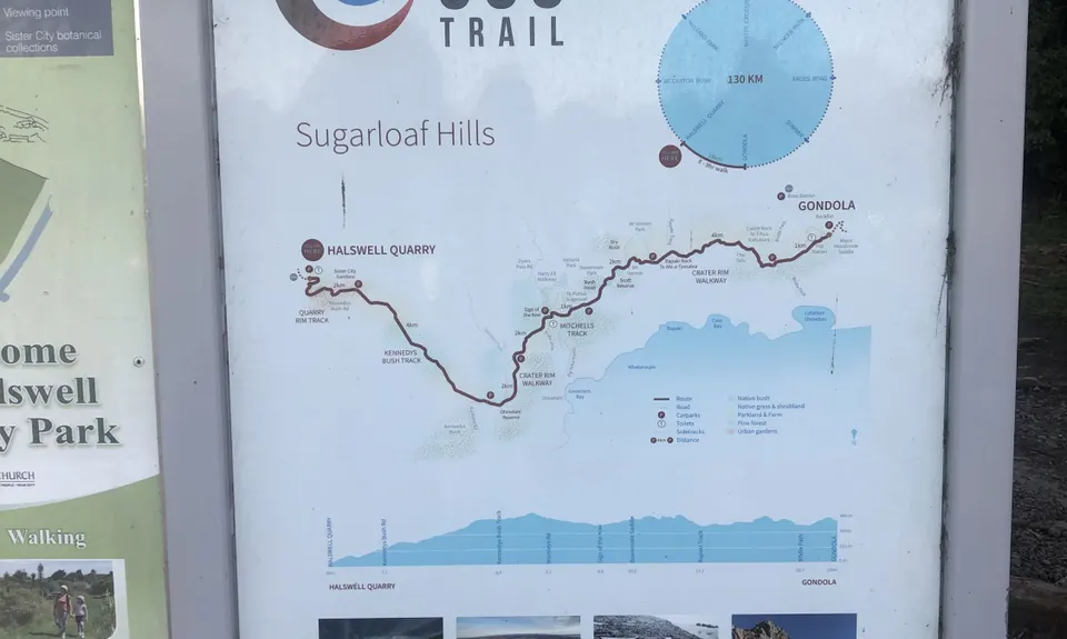
Trail Map
This Topo layer only covers NSW/ACT.
Switch to another map layer when viewing outside this area.
Switch to another map layer when viewing outside this area.