Last Updated: 9th May 2024
Dry Run to Tamatea's Leap
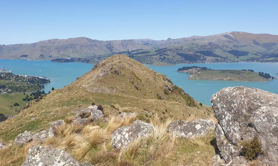
Tamatea's Leap, Tamatea's summit
Te Poho O Tamatea
Last Updated: 9th May 2024
Grunt Factor: 22 ?
Gnarl Factor: 78 ?
10.0km
635m
620m
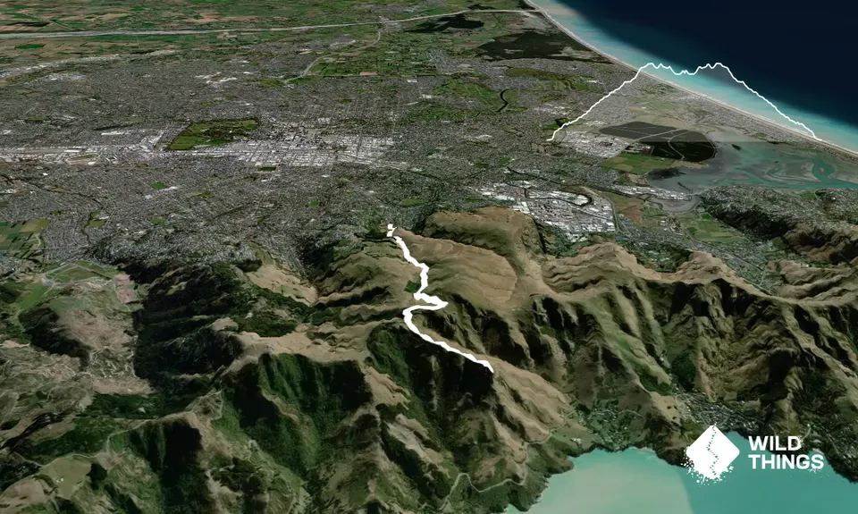
Trail Map
This Topo layer only covers NSW/ACT.
Switch to another map layer when viewing outside this area.
Switch to another map layer when viewing outside this area.


