Last Updated: 4th Sep 2025
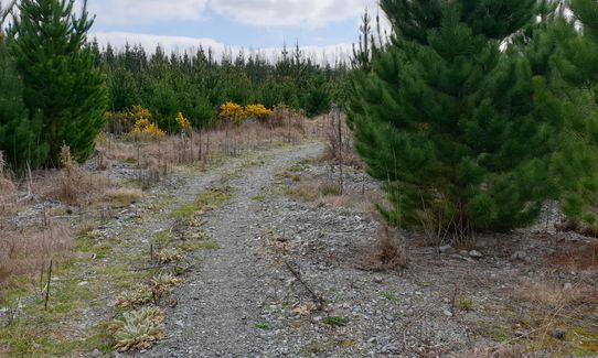
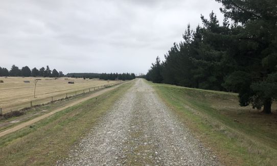
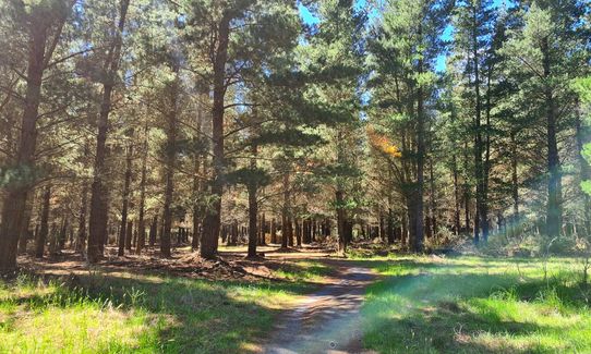
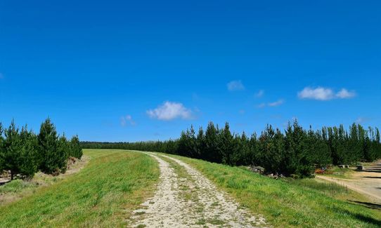
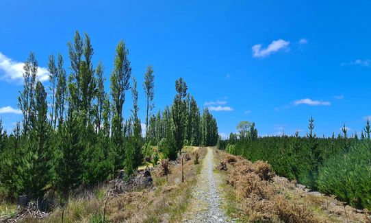
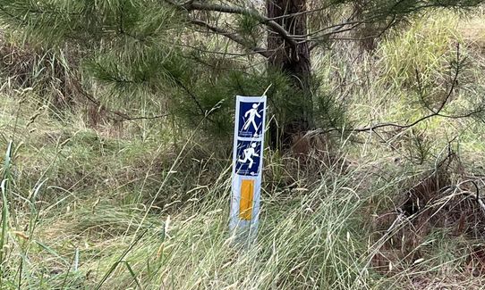
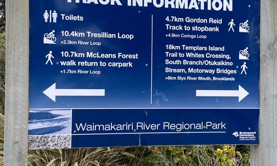
McLeans Meander
Last Updated: 4th Sep 2025
Grunt Factor: 9 ?
Gnarl Factor: 18 ?
10.2km
25m
25m
68m
-(medium).jpg?tr=w-542,h-325)
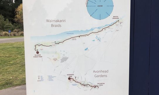
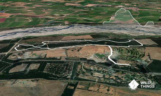
Trail Map
This Topo layer only covers NSW/ACT.
Switch to another map layer when viewing outside this area.
Switch to another map layer when viewing outside this area.


