Last Updated: 2nd Feb 2026
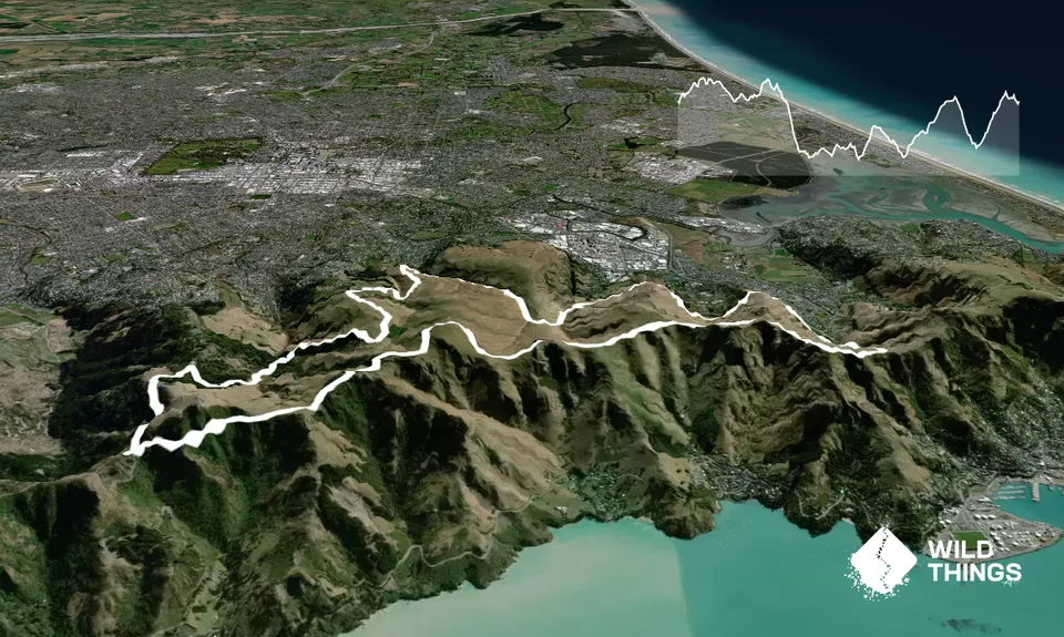
The North Faces
Last Updated: 2nd Feb 2026
Open
Grunt Factor: 35 ?
Gnarl Factor: 33 ?
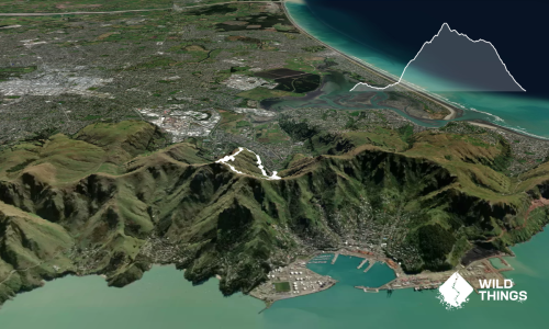
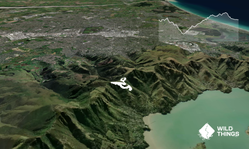
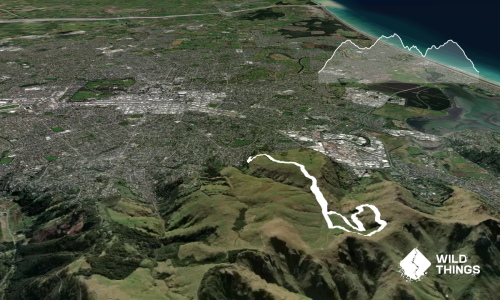
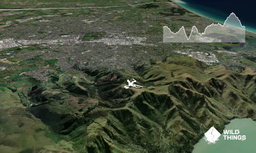
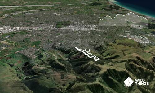
24.8km
1200m
1200m
431m
Trail Map
This Topo layer only covers NSW/ACT.
Switch to another map layer when viewing outside this area.
Switch to another map layer when viewing outside this area.