Last Updated: 25th Mar 2024
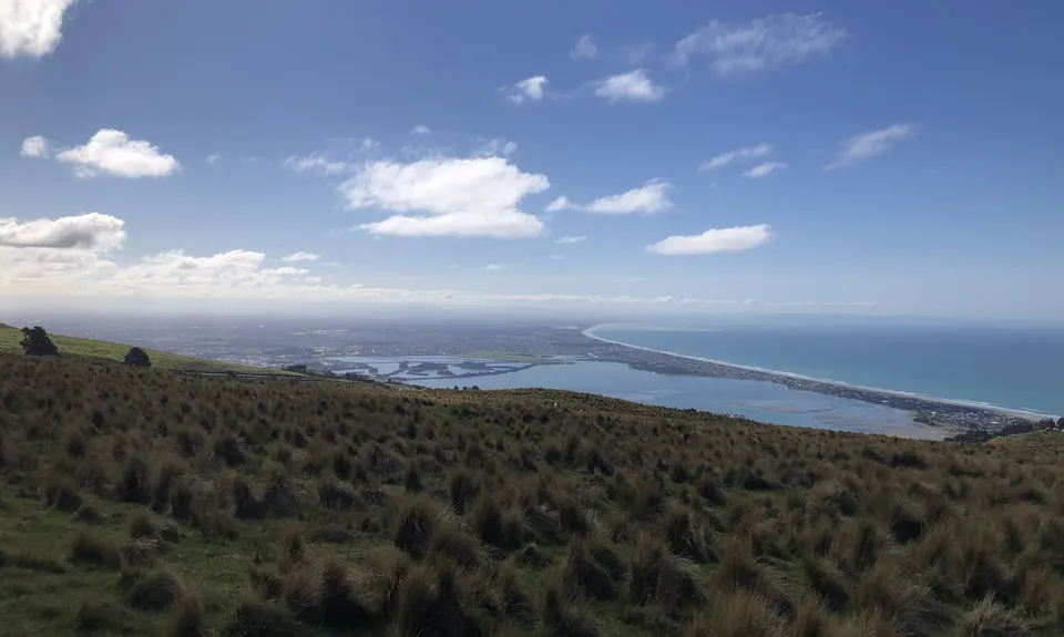
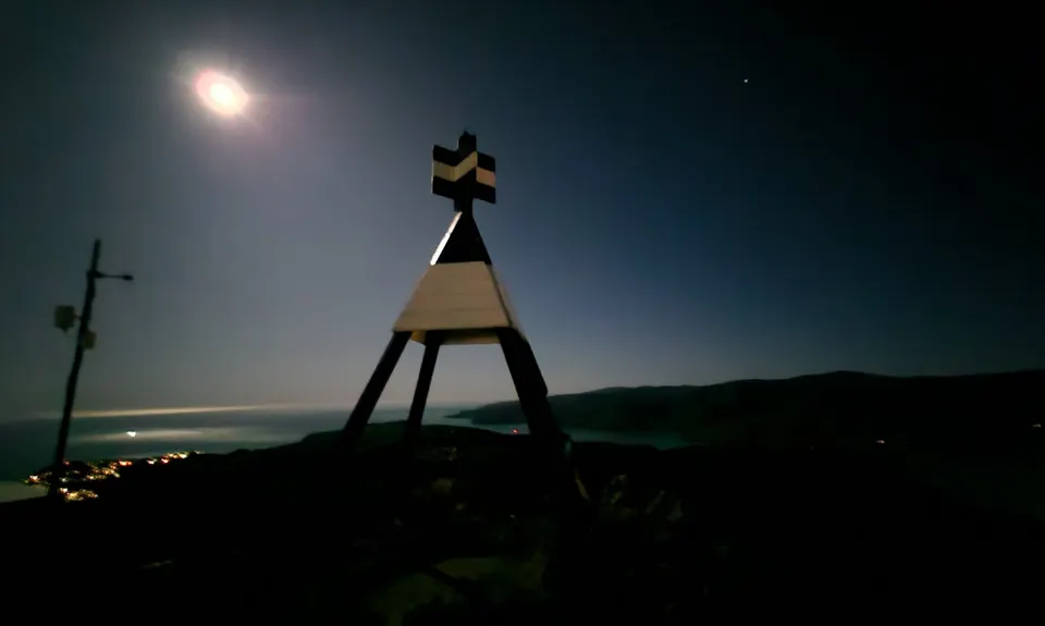
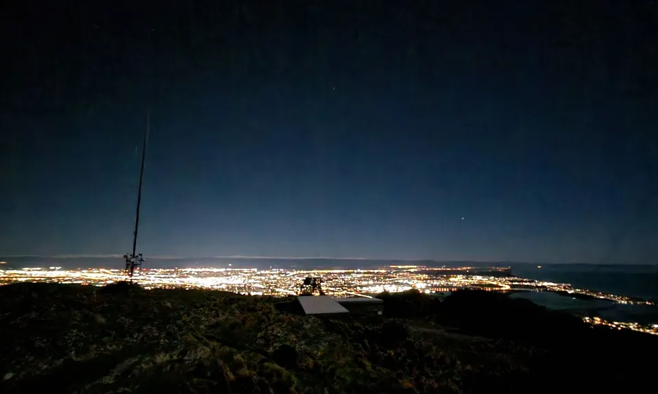
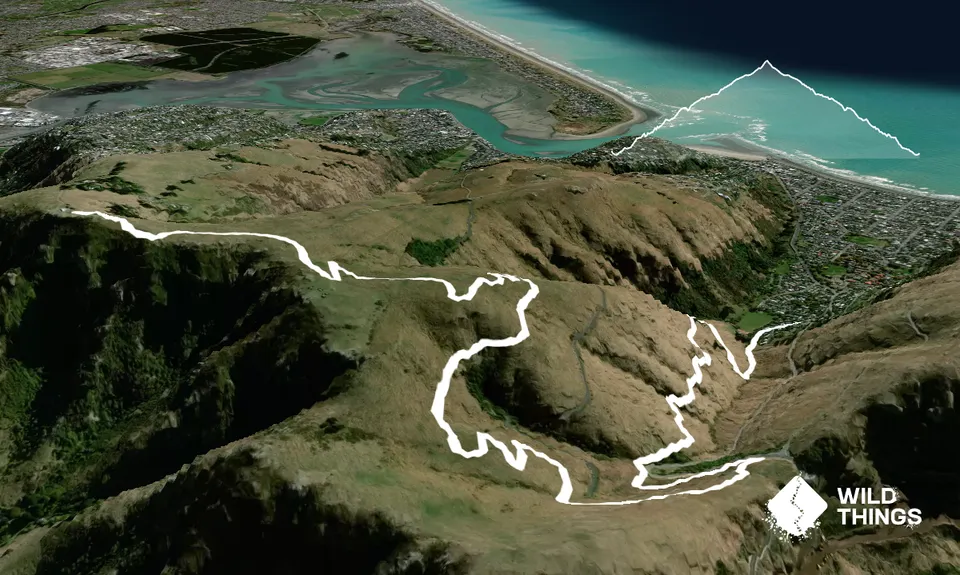
Gates Of The East
Last Updated: 25th Mar 2024
Open
Grunt Factor: 19 ?
Gnarl Factor: 35 ?
14.0km
520m
520m
480m

Trail Map
This Topo layer only covers NSW/ACT.
Switch to another map layer when viewing outside this area.
Switch to another map layer when viewing outside this area.


