Last Updated: 8th Feb 2026
O'Farrells For Shore
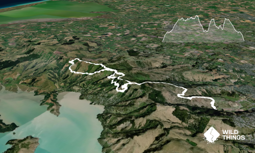
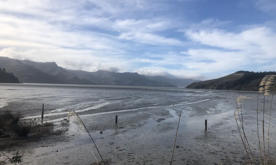
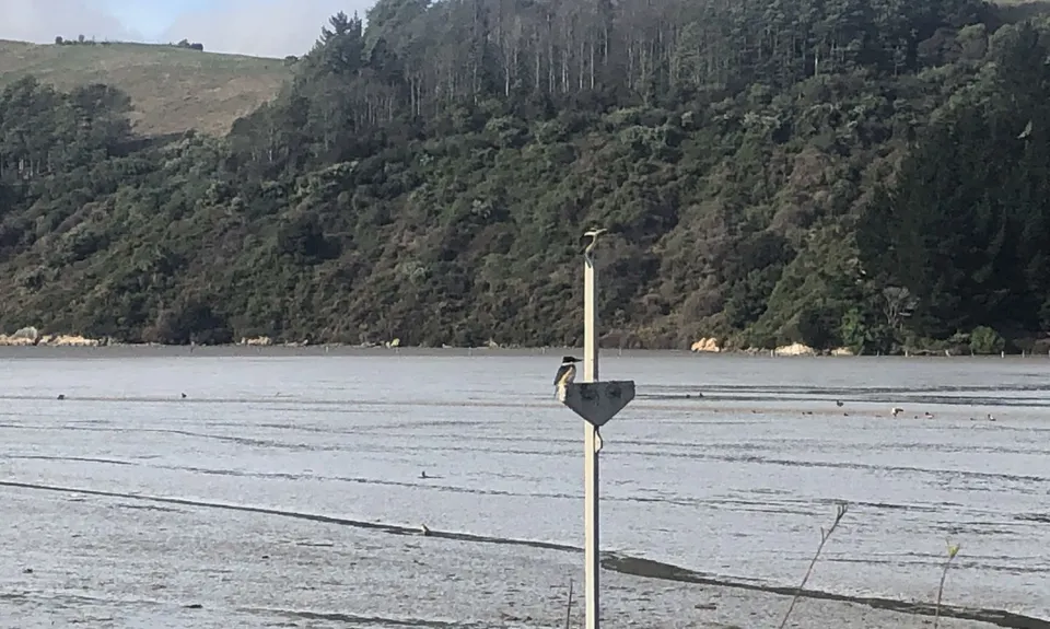
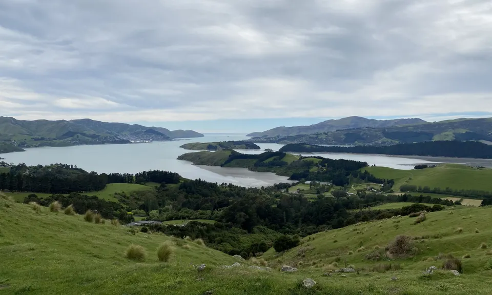
Governors Bay hills loop
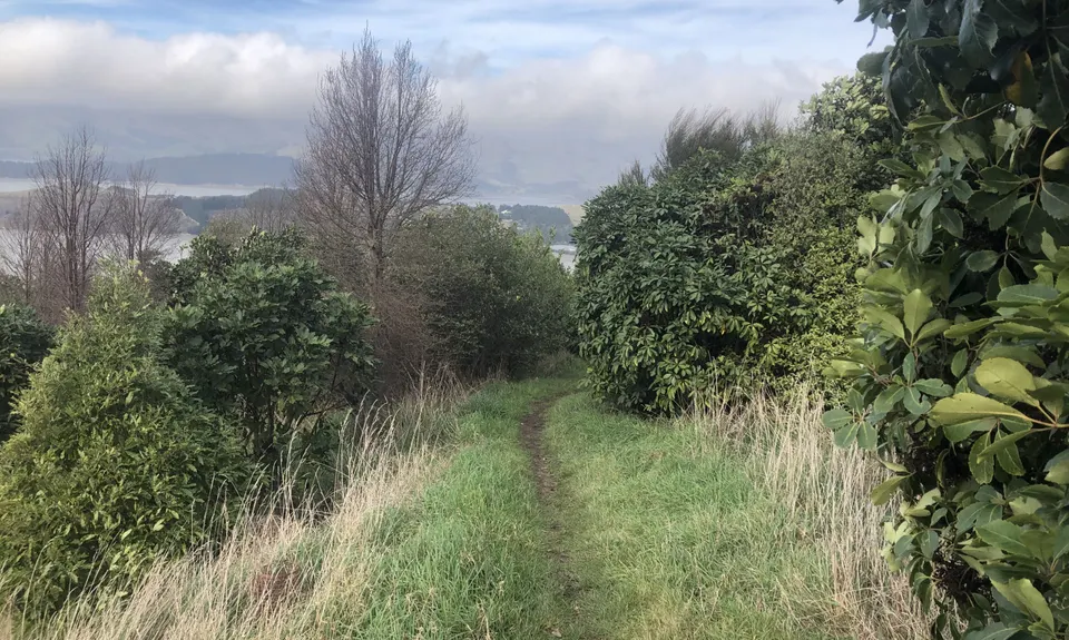
Titoki Track, Ngaio Track, O'Farrells Track
Last Updated: 8th Feb 2026
Open
Grunt Factor: 15 ?
Gnarl Factor: 32 ?
11.5km
420m
420m
252m
.jpg)
_7716f29d.jpg)
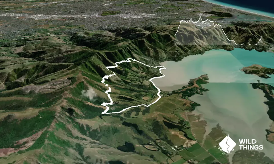
Trail Map
This Topo layer only covers NSW/ACT.
Switch to another map layer when viewing outside this area.
Switch to another map layer when viewing outside this area.