Last Updated: 31st Aug 2024
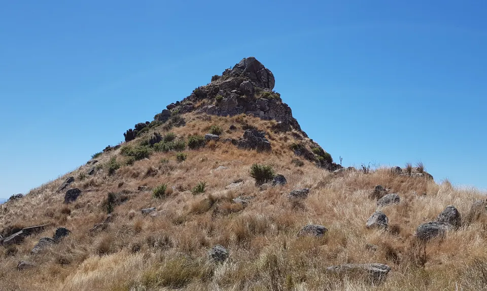
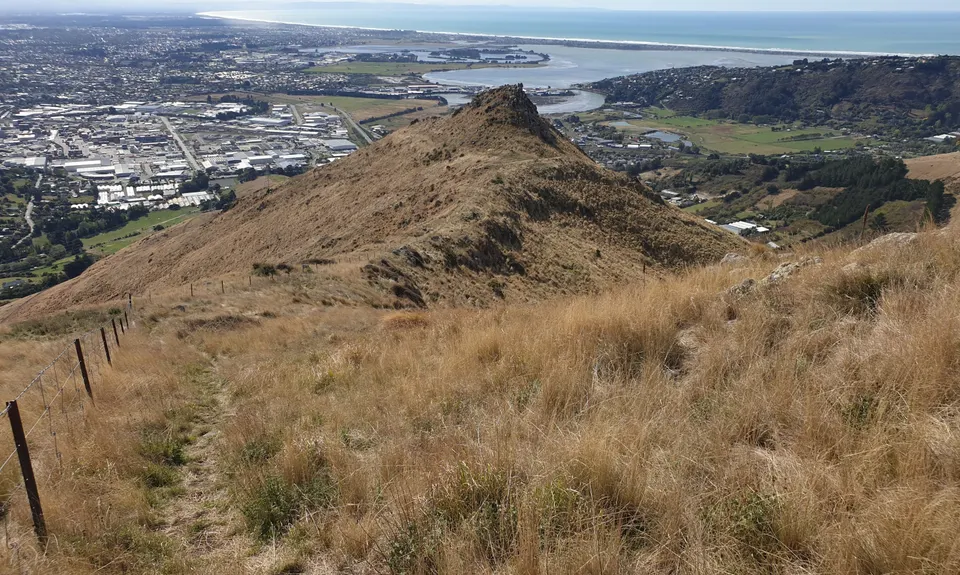
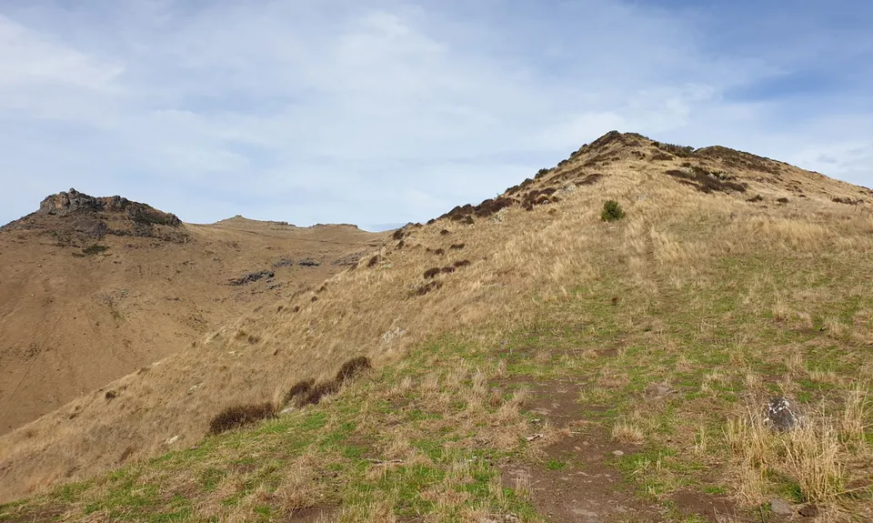
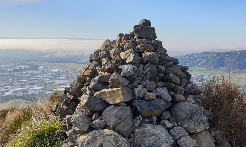
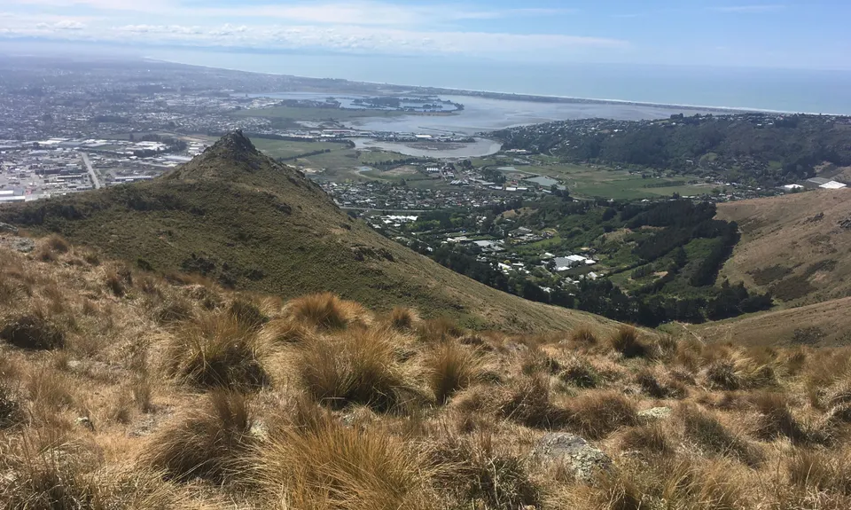
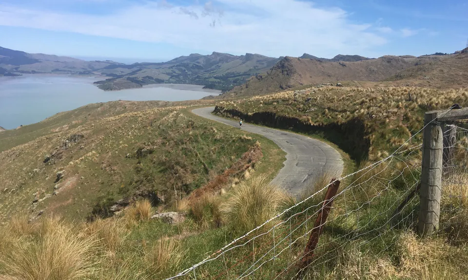
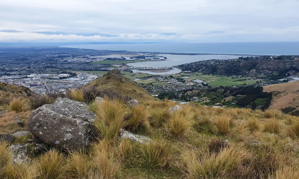
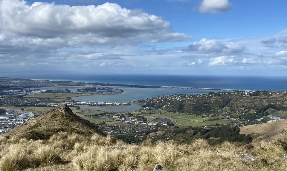
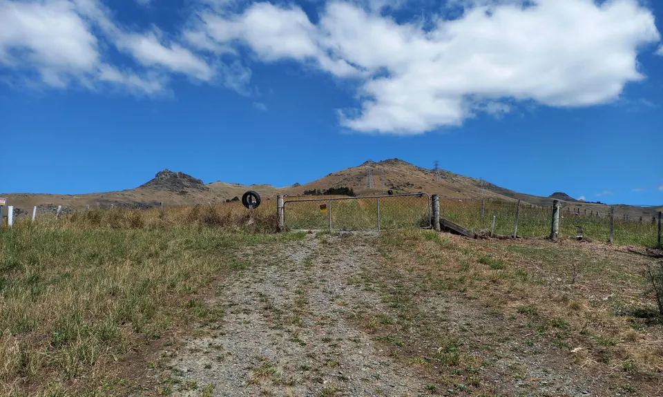
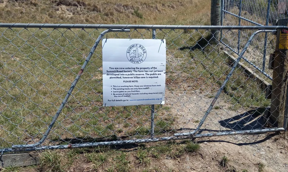
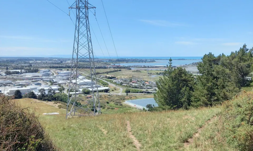
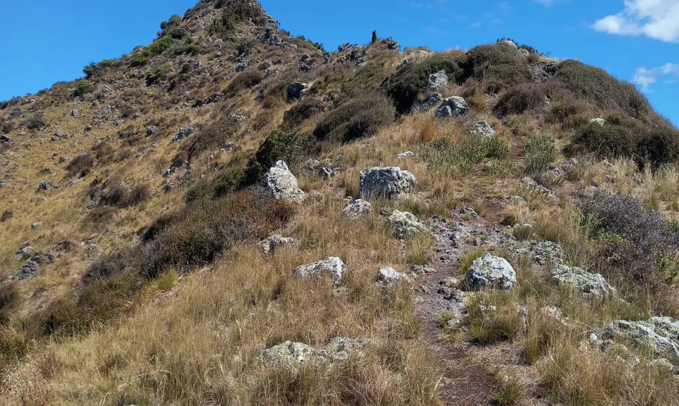
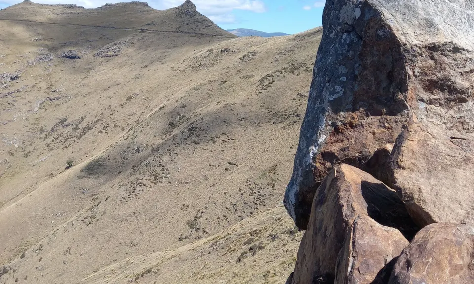
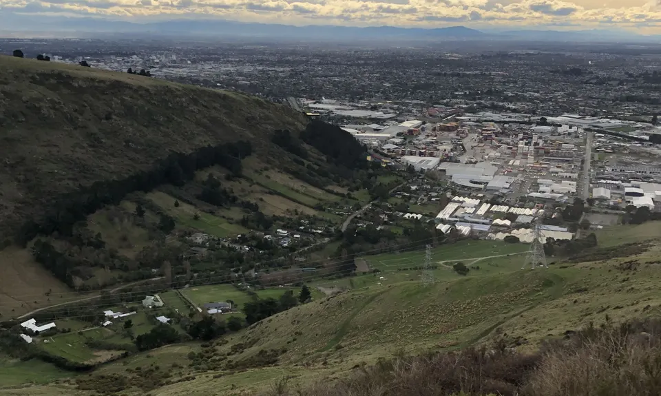
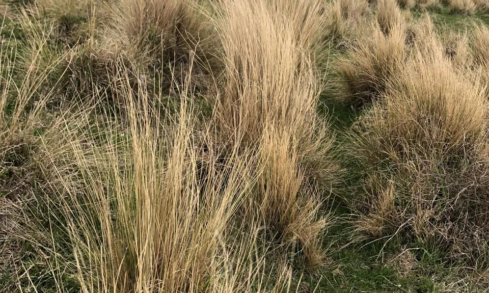
Tussock Hill Ridge
Last Updated: 31st Aug 2024
Open
Grunt Factor: 13 ?
Gnarl Factor: 74 ?
5.0km
410m
410m
411m
.jpg)
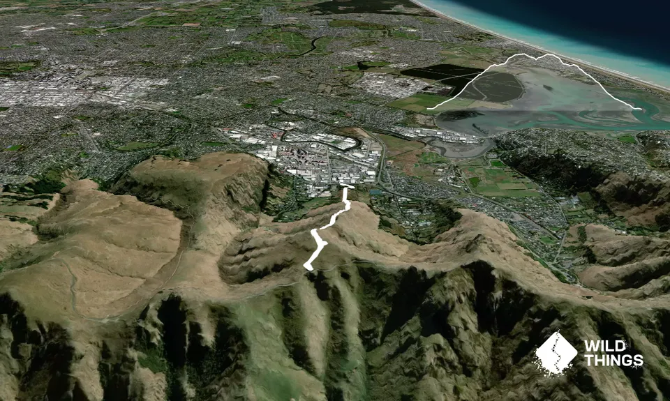
Trail Map
This Topo layer only covers NSW/ACT.
Switch to another map layer when viewing outside this area.
Switch to another map layer when viewing outside this area.


