Last Updated: 6th May 2024
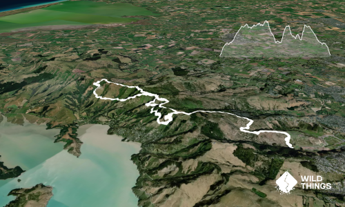
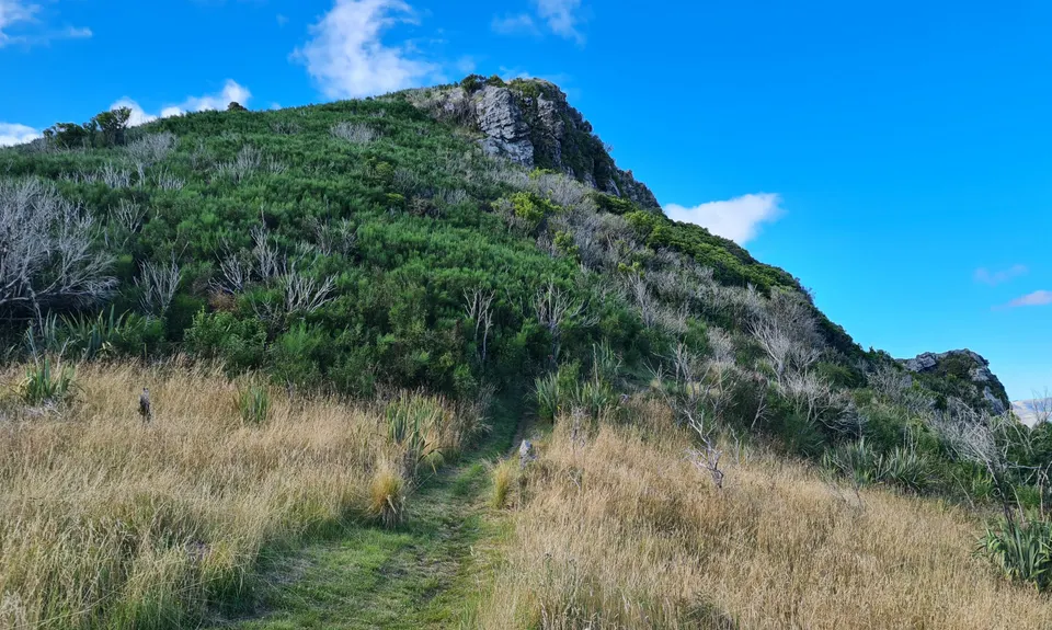
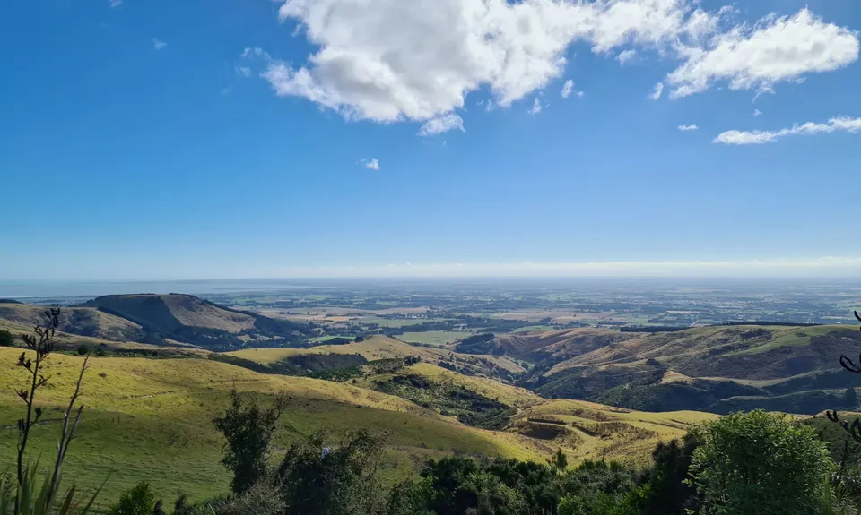
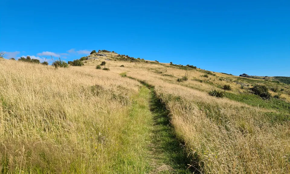
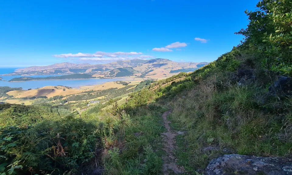
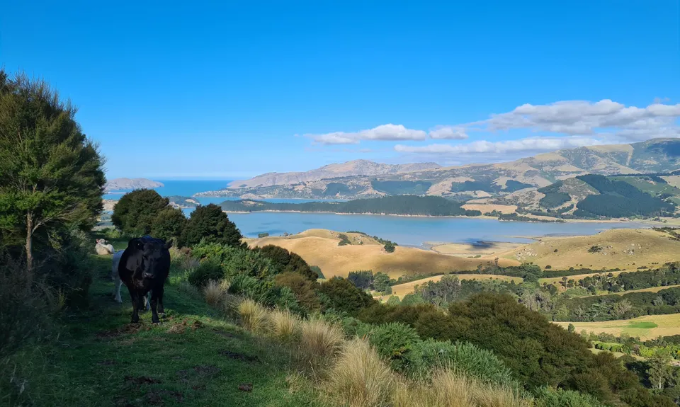
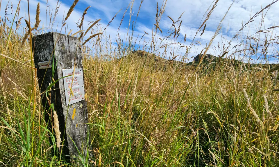
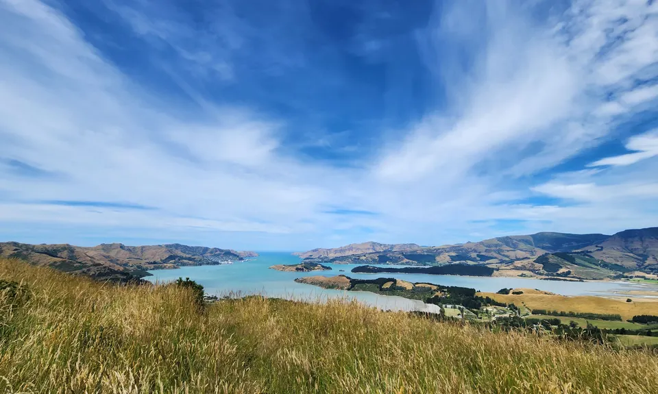
Living Springs Loop
Last Updated: 6th May 2024
Open
Grunt Factor: 12 ?
Gnarl Factor: 38 ?
7.5km
400m
400m
515m
.jpg)

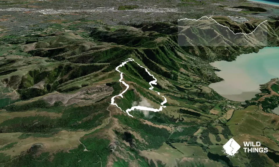
Trail Map
This Topo layer only covers NSW/ACT.
Switch to another map layer when viewing outside this area.
Switch to another map layer when viewing outside this area.