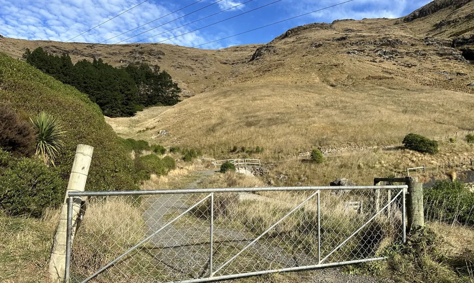
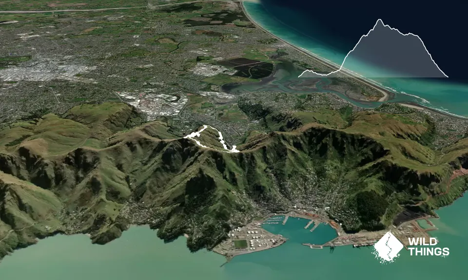
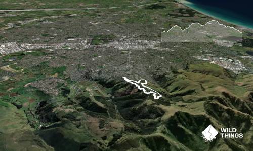
Start at the Bridle Path carpark and make your way up the gravel path. After a short distance you'll see a farm gate on your right - go through this gate and join the grass farmtrack that follows a fairly level contour around the hill.
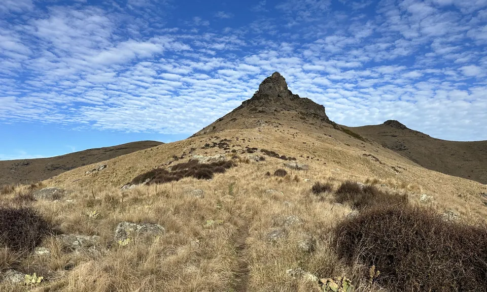
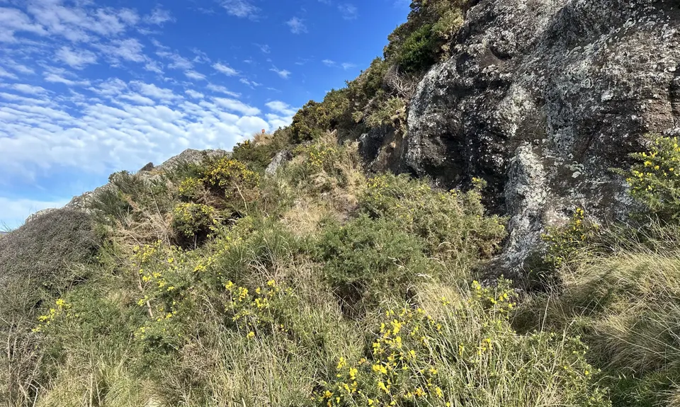
Just after you come round the spur, just before a fence and some pine trees, you'll see a faint singletrack heading up the ridge. Join this trail and keep following it all the way up the ridge. There are a few options as you go up but just stay close to the ridge, keeping on the right hand side of a small rock outcrop.
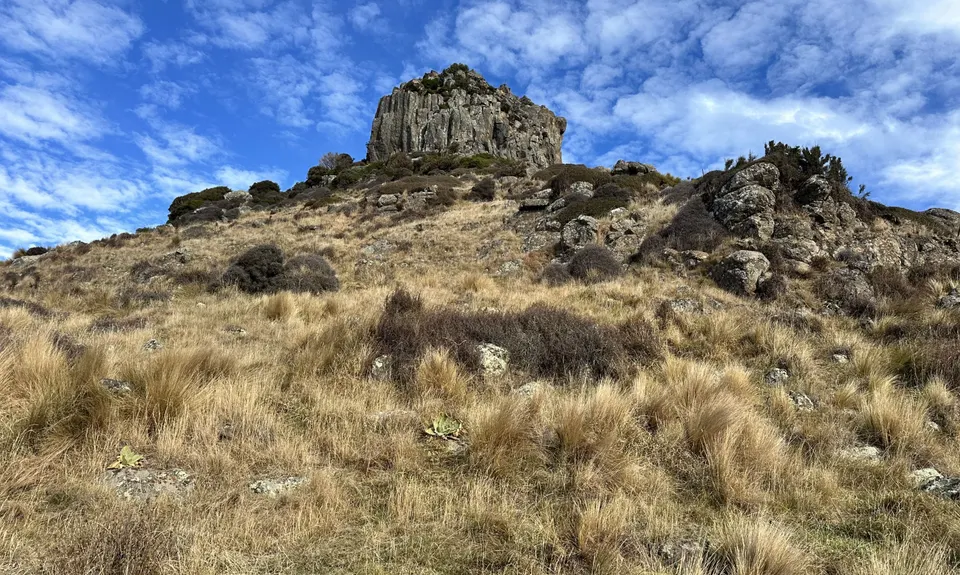
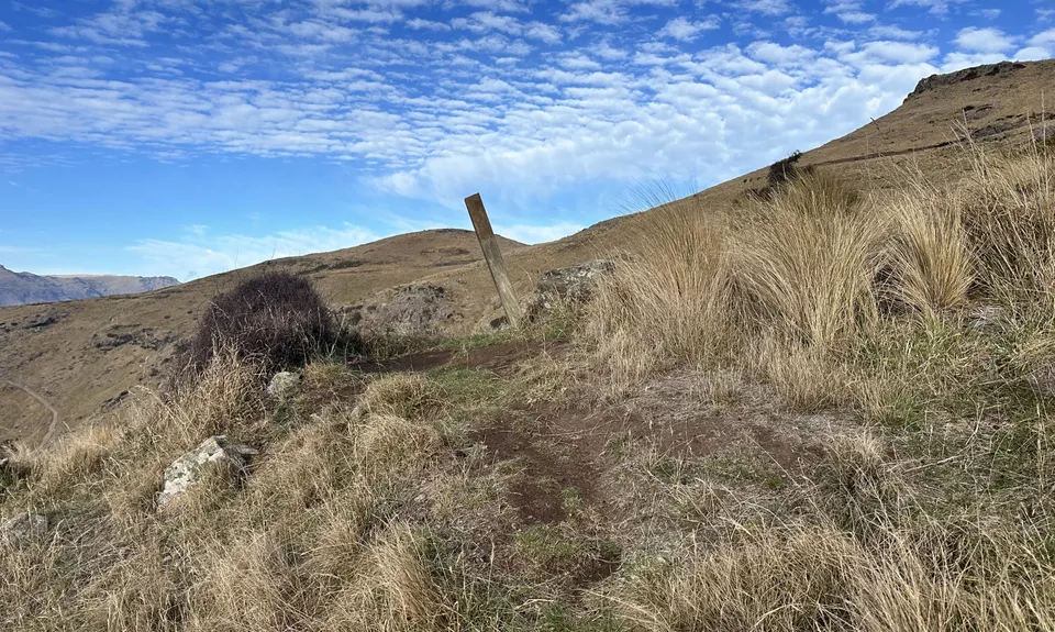
Near the huge Castle Rock crag, at a fence junction, the trail levels out a little - keep following it around the left hand side of the crag. The trail gets fainter and harder to follow here - gpx is useful. You should reach a small ridge with a single post on it - here you need to turn right and head up the hill briefly before turning left again. The terrain gets a little more technical and rocky, and you will need to make a few more small zigzag turns to gain a bit more altitude before you finally come up to the Castle Rock corner on Summit Road.
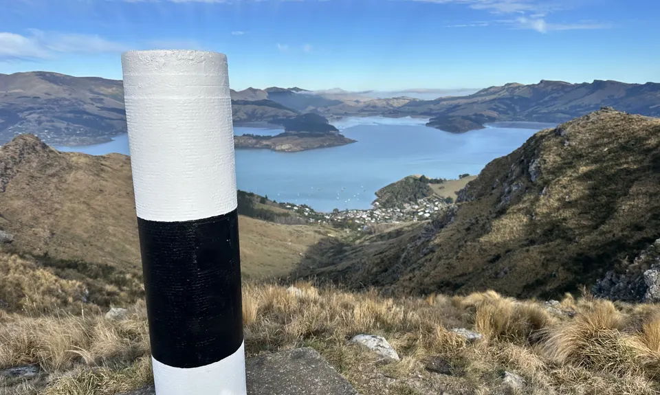
Cross the road and get on up to the trig for amazing views on a clear day.
Go back down the way you came and cross the cattle stop again, this time taking the berm corner right and following the MTB trail. This trail traverses around the hillside, generally parallel to Summit Road, except for a couple of switchbacks. Once you reach the Bridle Path, it's an easy cruise back down to the finish.