Last Updated: 23rd May 2026
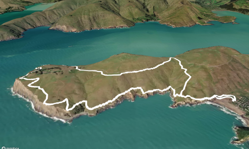
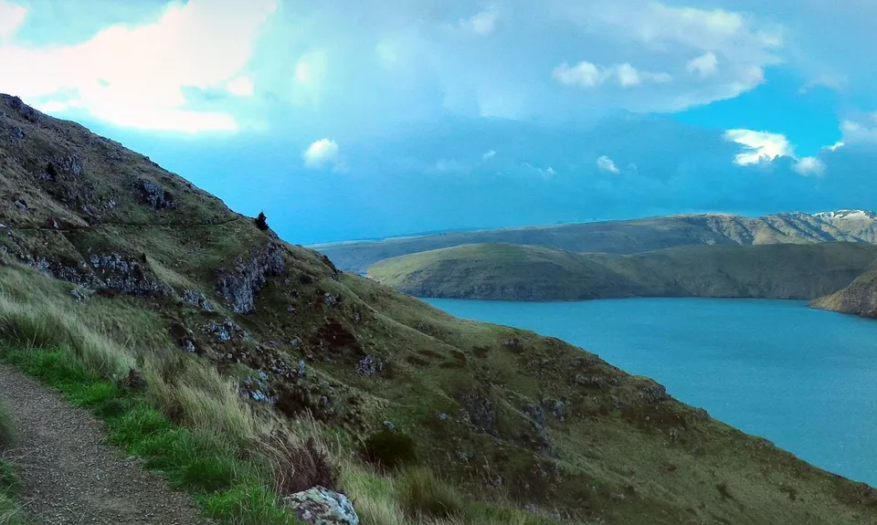
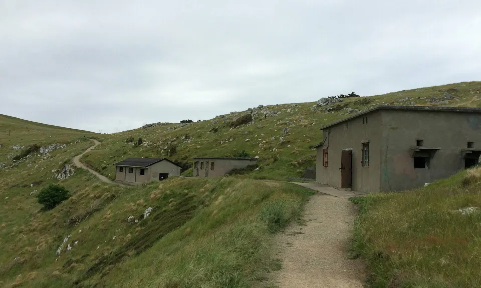
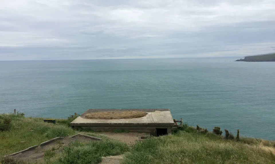
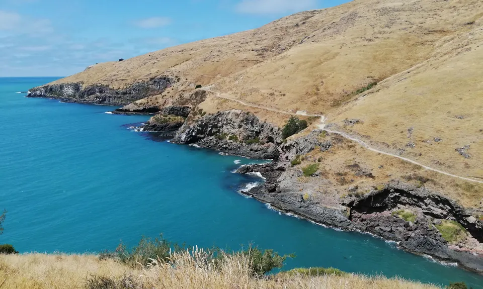
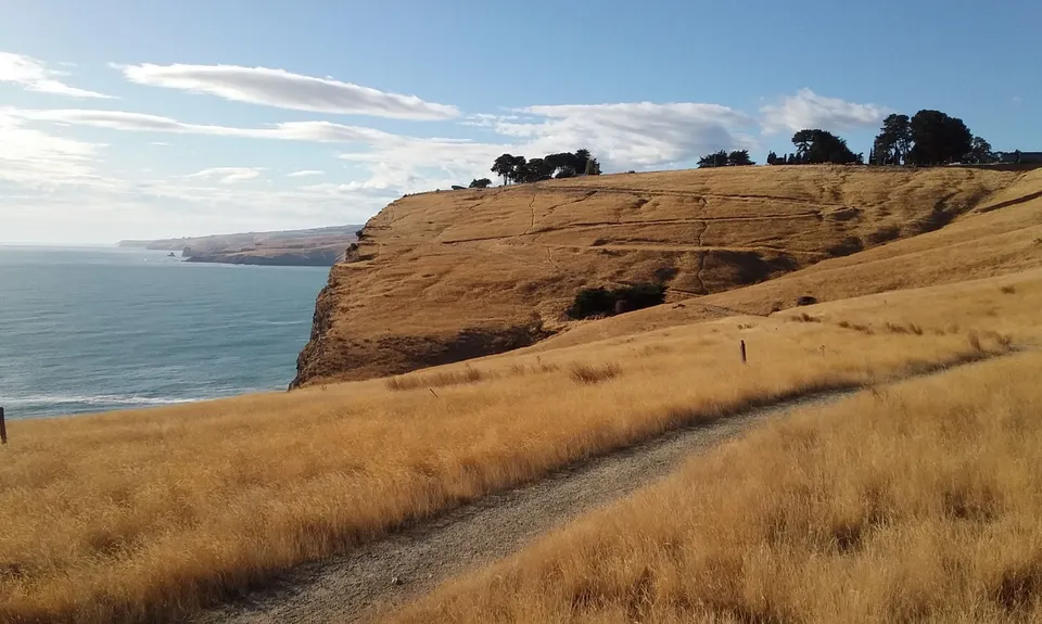
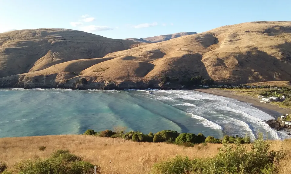
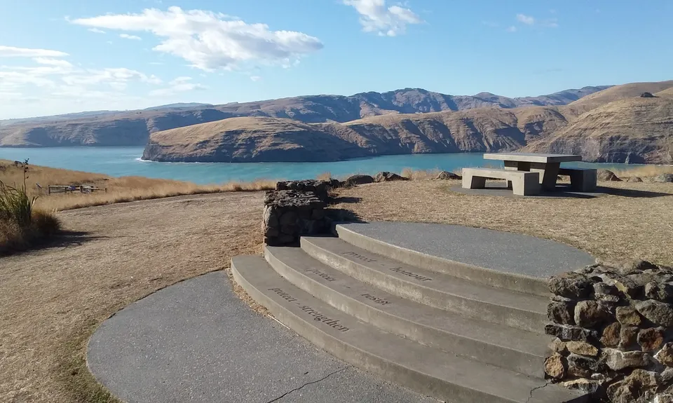
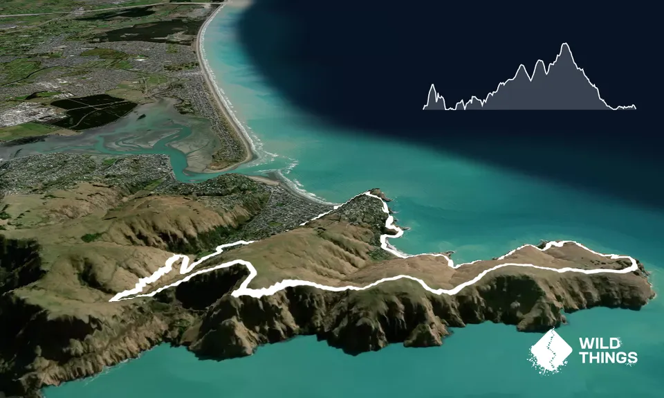
Godley Head loop
Godley Head Park Reserve, Taylors Mistake, Scarborough Hill Reserve
Godley Head Walkway
Last Updated: 23rd May 2026
Open
Grunt Factor: 23 ?
Gnarl Factor: 32 ?
18.1km
650m
650m
303m


Trail Map
This Topo layer only covers NSW/ACT.
Switch to another map layer when viewing outside this area.
Switch to another map layer when viewing outside this area.