Last Updated: 5th Nov 2025
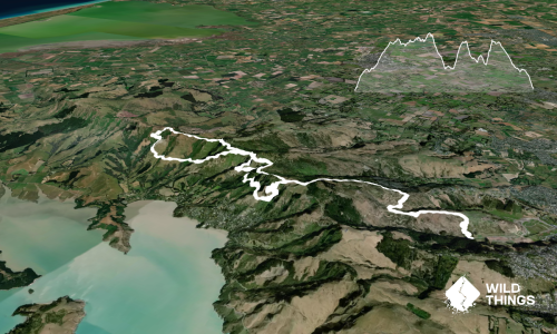
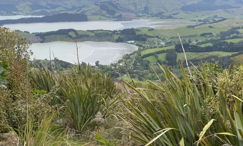
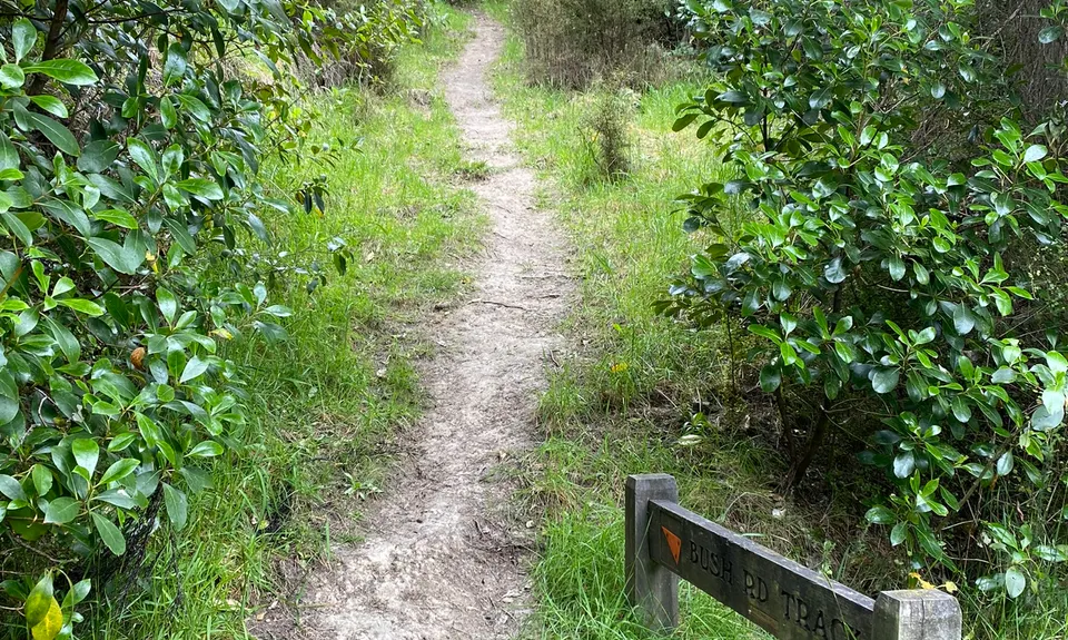
Governator 2 - Judgement Day
Last Updated: 5th Nov 2025
Open
Grunt Factor: 15 ?
Gnarl Factor: 68 ?
7.7km
440m
440m
484m

.jpg)

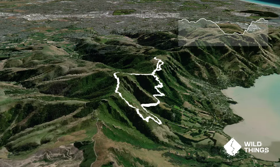
Trail Map
This Topo layer only covers NSW/ACT.
Switch to another map layer when viewing outside this area.
Switch to another map layer when viewing outside this area.