Last Updated: 24th Apr 2024
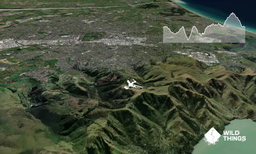
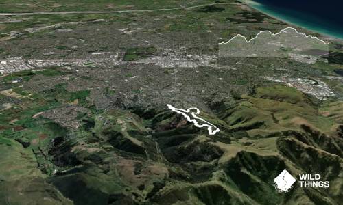
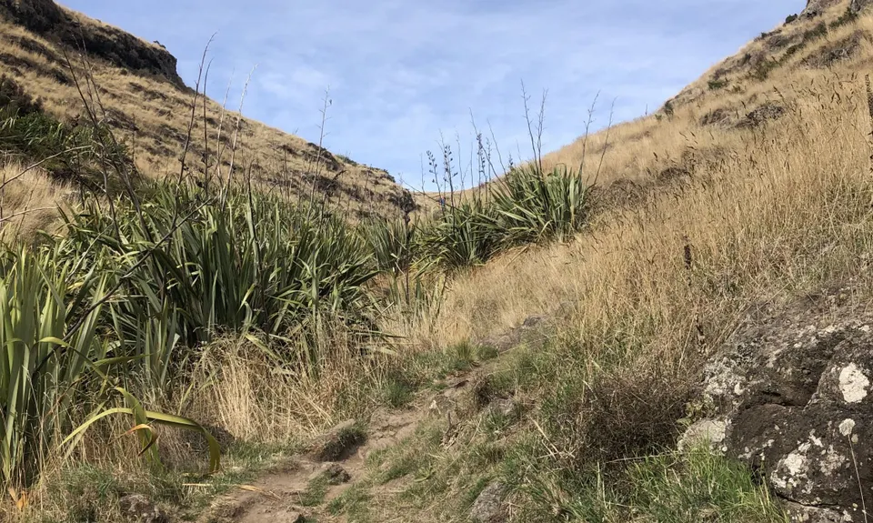
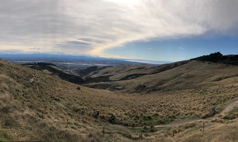
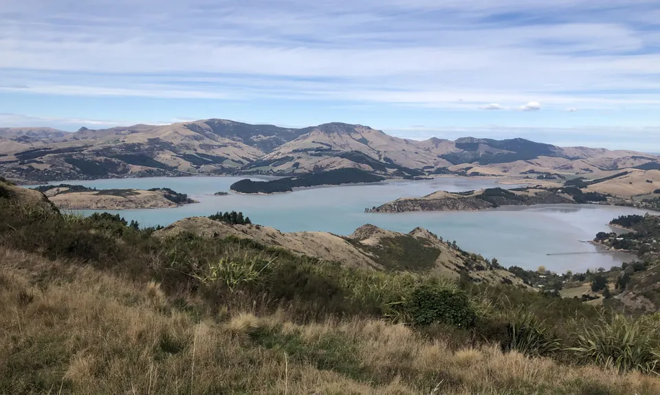
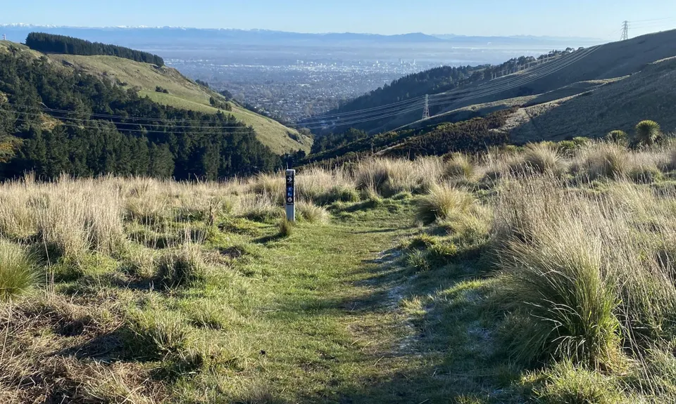
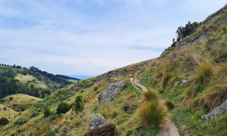
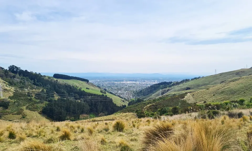
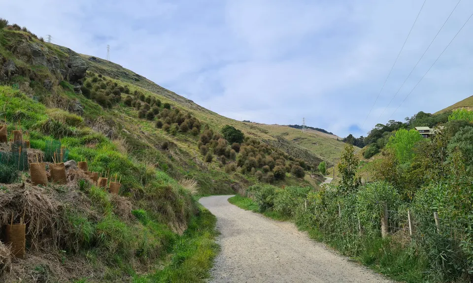
The Bowenvale Elevator
Last Updated: 24th Apr 2024
Open
Grunt Factor: 13 ?
Gnarl Factor: 21 ?
11.2km
470m
470m
440m
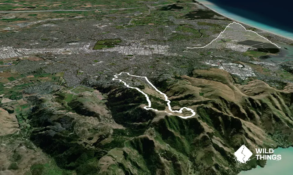
Trail Map
This Topo layer only covers NSW/ACT.
Switch to another map layer when viewing outside this area.
Switch to another map layer when viewing outside this area.