Last Updated: 29th Dec 2024
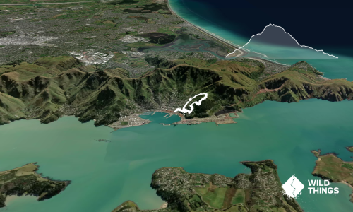
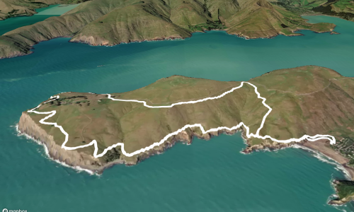
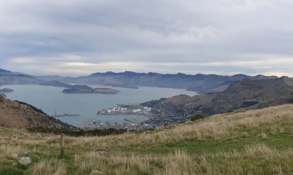
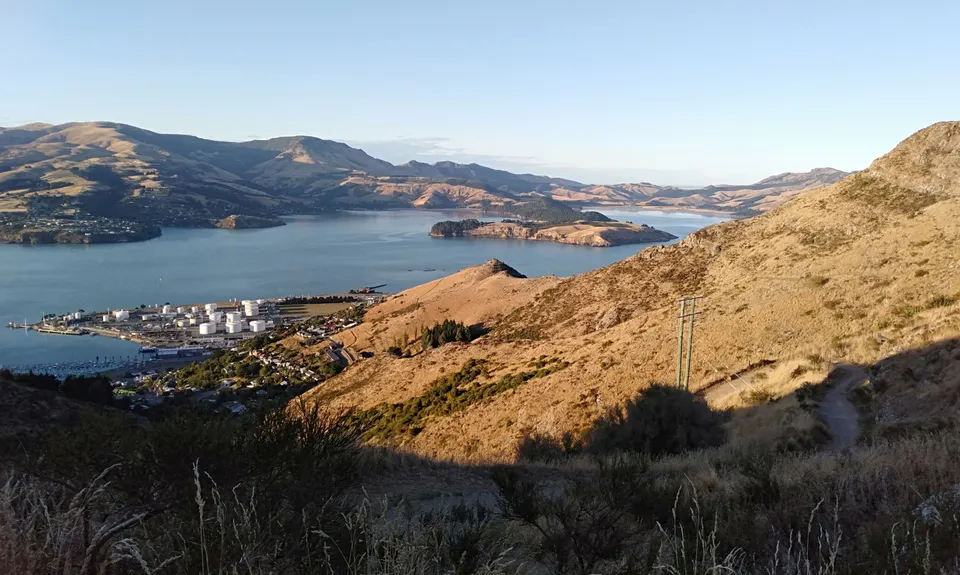
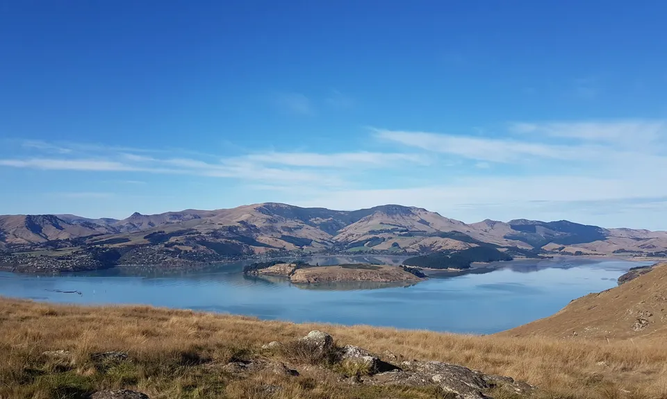
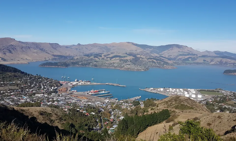
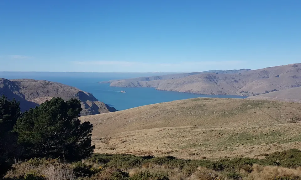
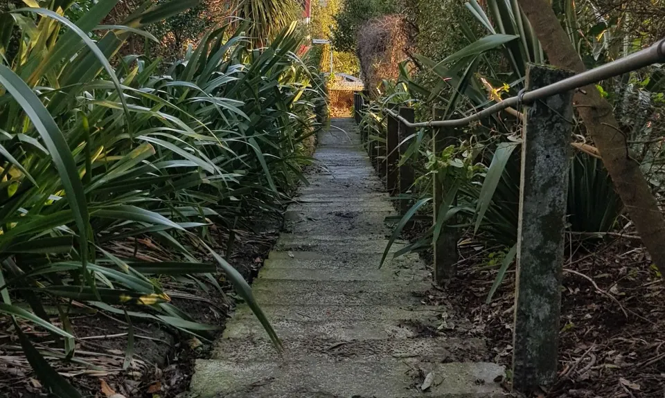
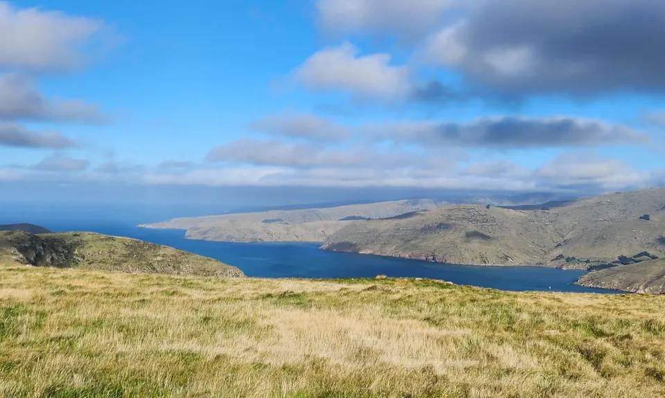
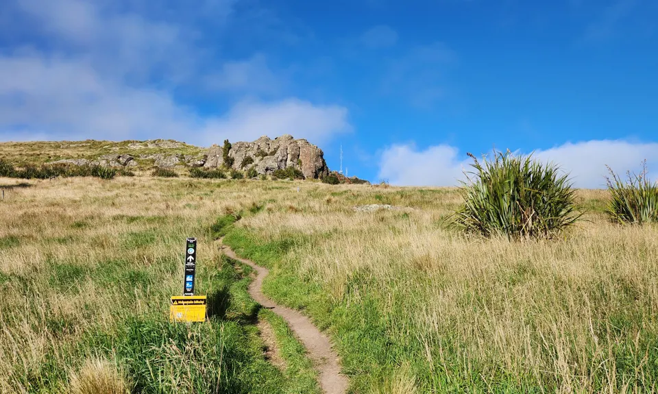
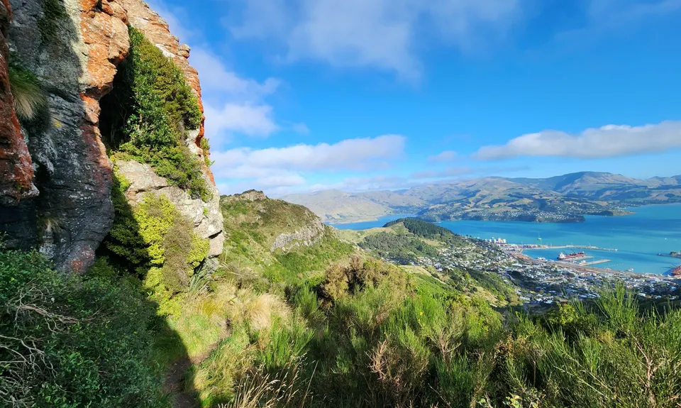
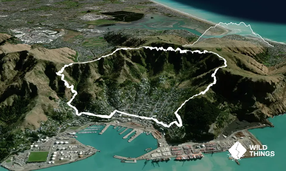
Lyttelton Dress Circle
Last Updated: 29th Dec 2024
Open
Grunt Factor: 18 ?
Gnarl Factor: 53 ?
9.0km
645m
645m
440m


Trail Map
This Topo layer only covers NSW/ACT.
Switch to another map layer when viewing outside this area.
Switch to another map layer when viewing outside this area.