Last Updated: 6th Feb 2024
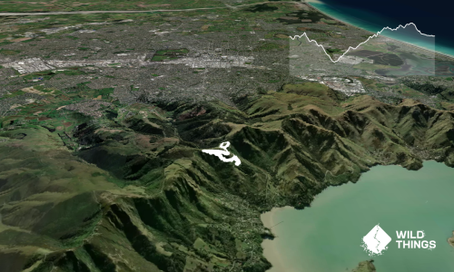
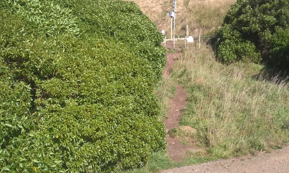
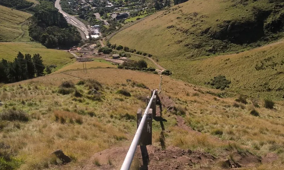
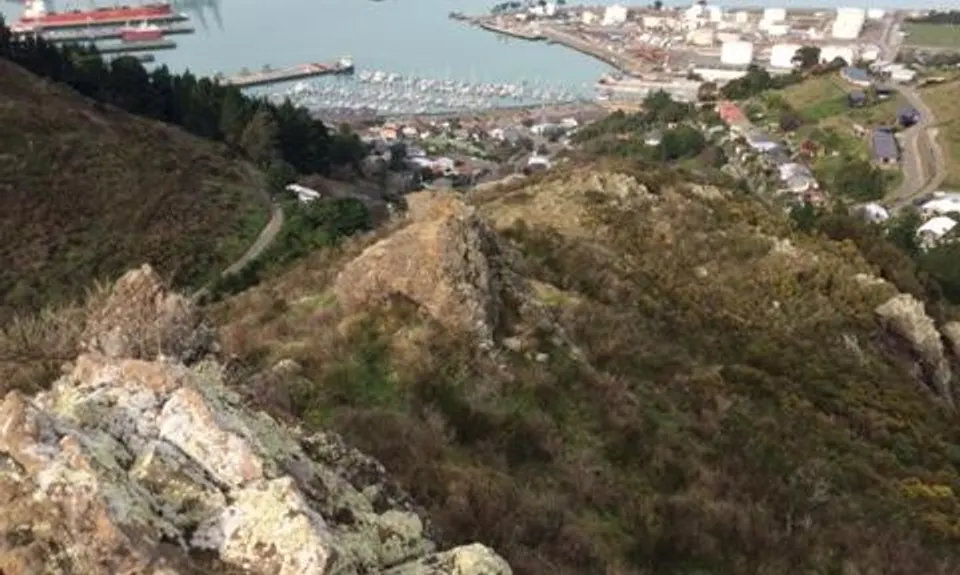
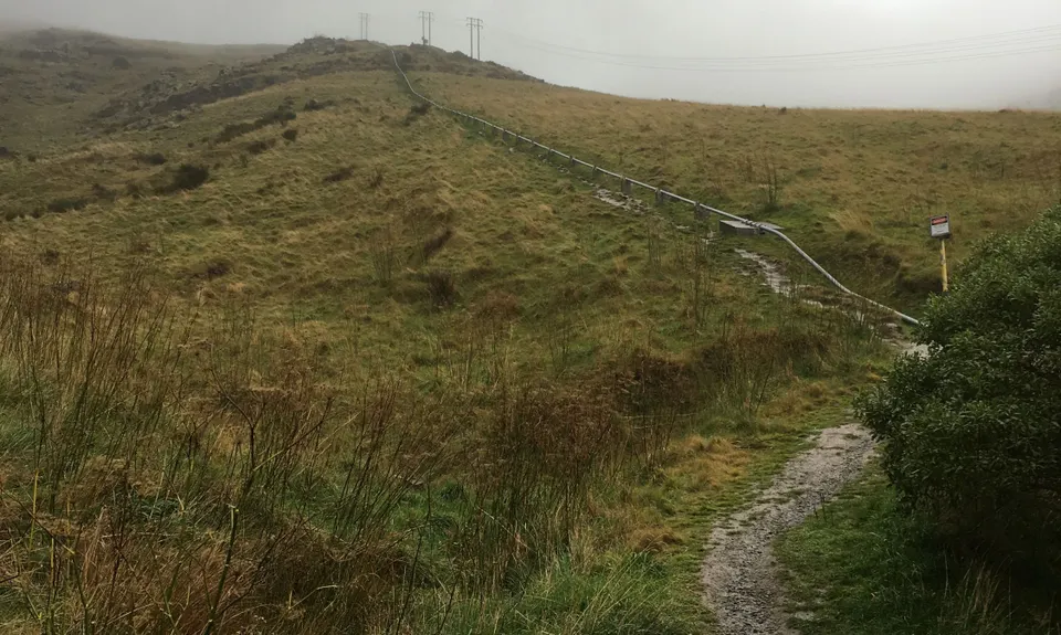
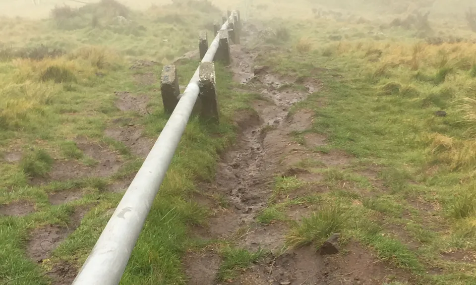
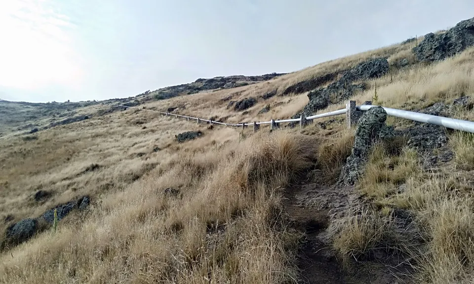
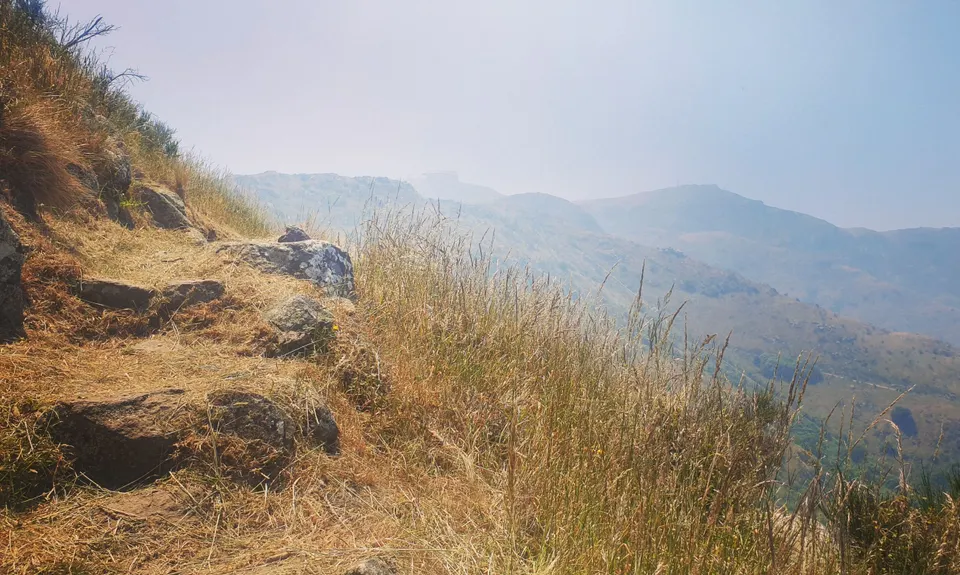
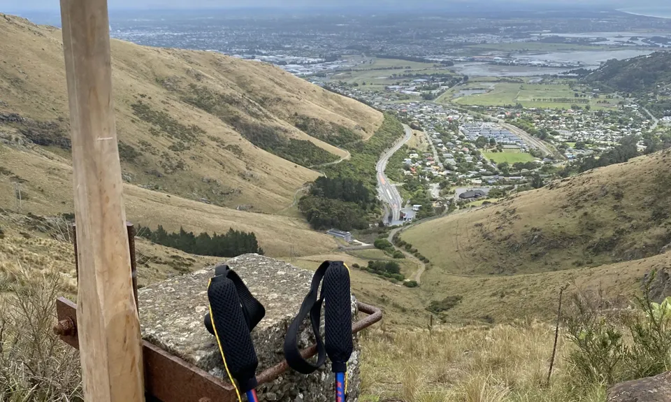
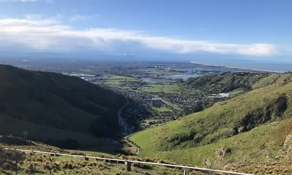
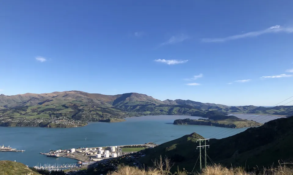
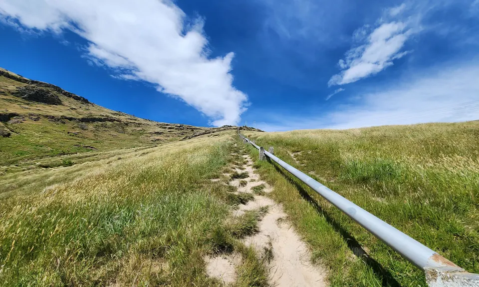
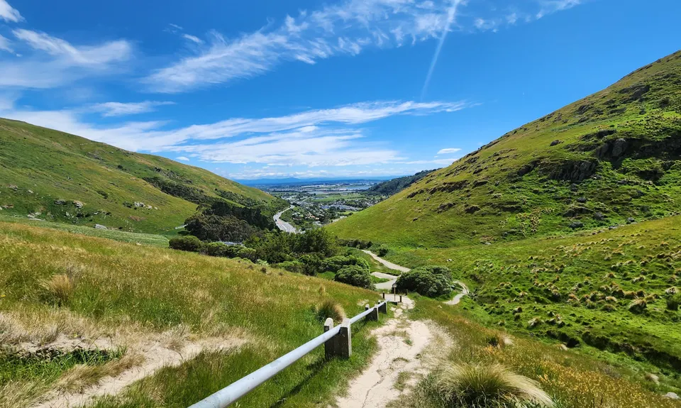
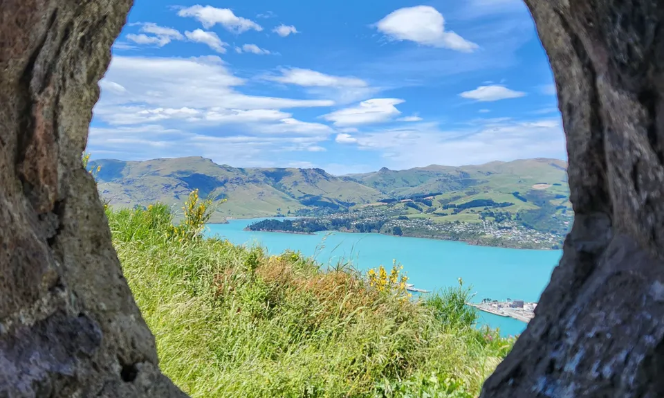
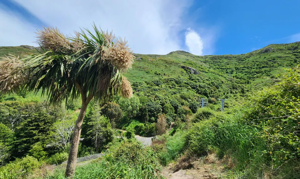
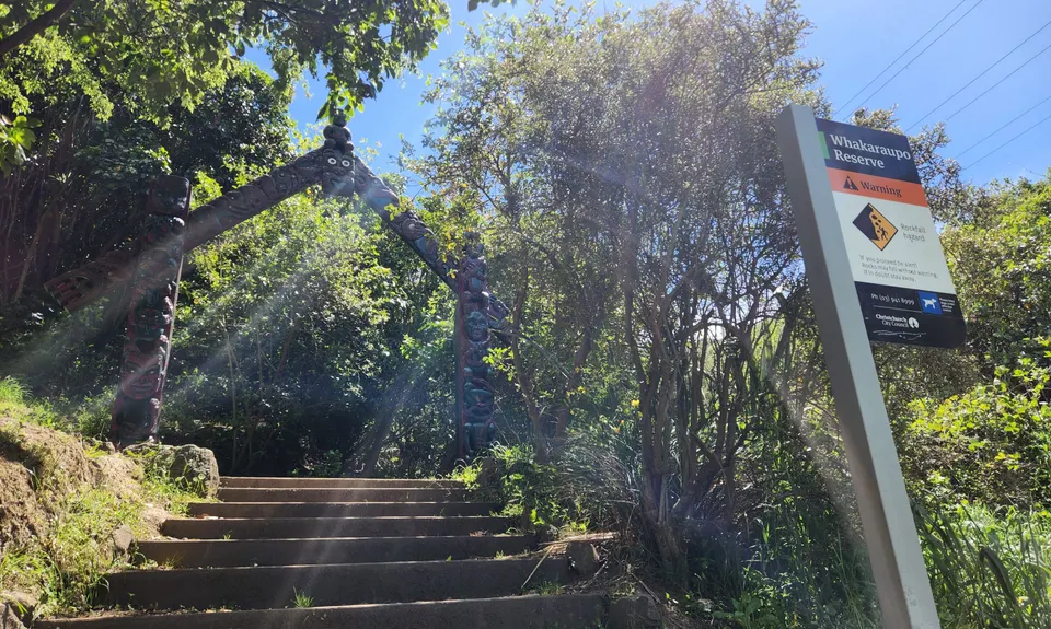
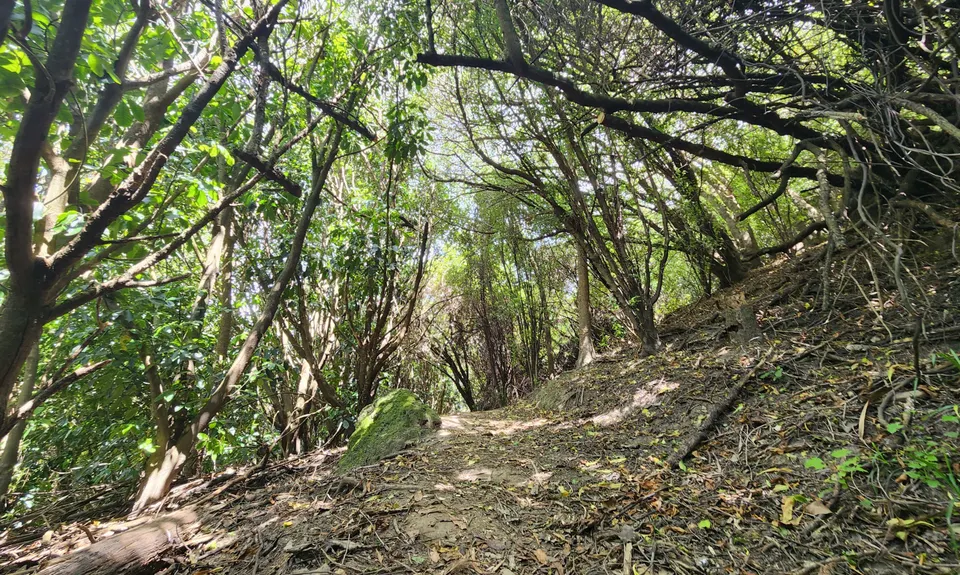
The Pipeline of Pain
Last Updated: 6th Feb 2024
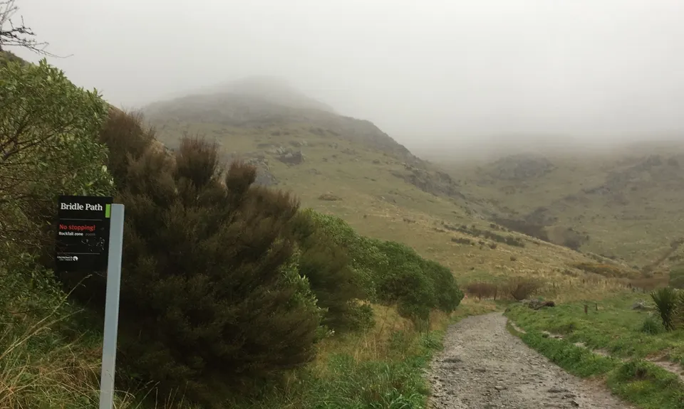
Open
Grunt Factor: 13 ?
Gnarl Factor: 69 ?
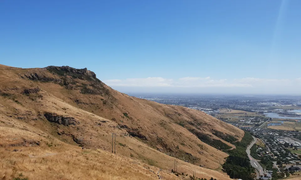
5.2km
465m
465m
340m

.jpg)
.jpg)

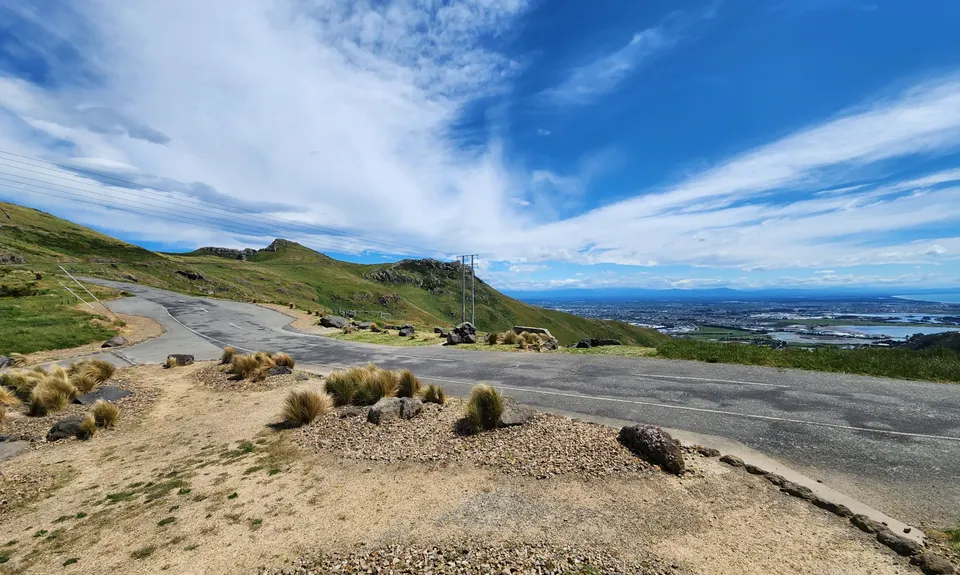
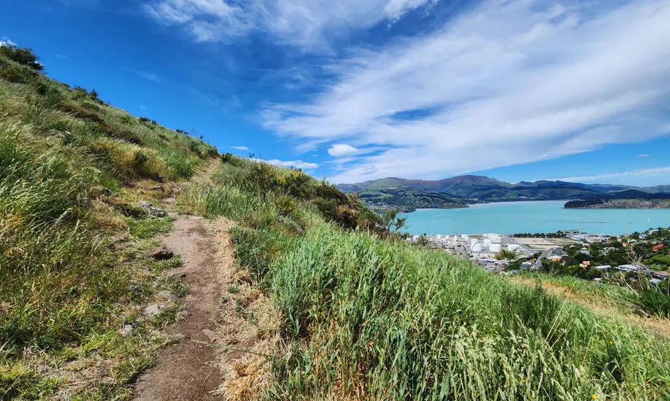
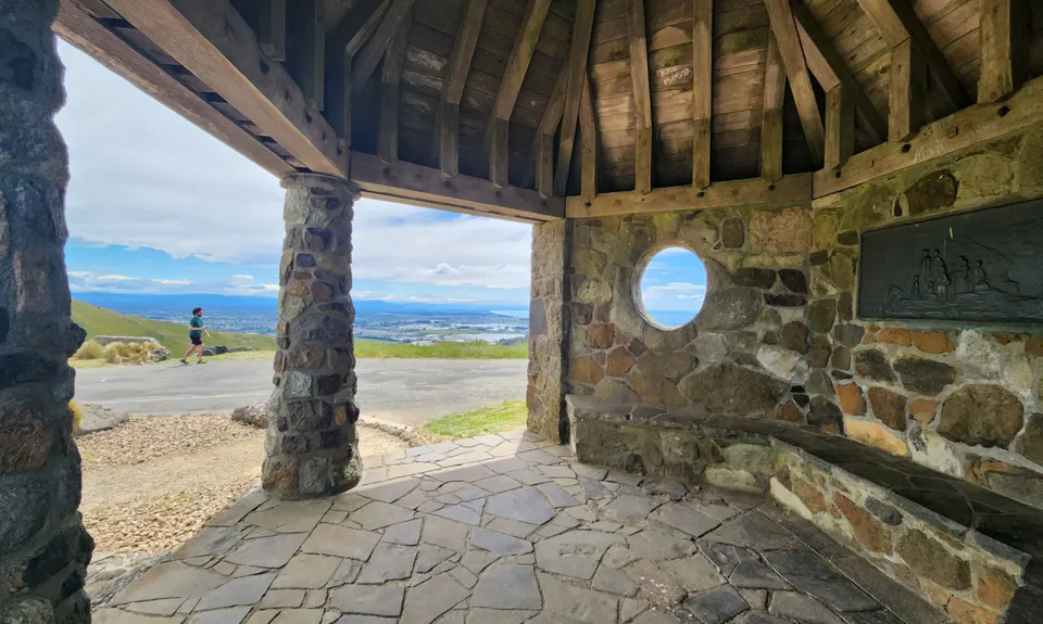
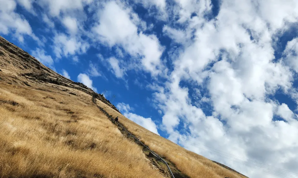
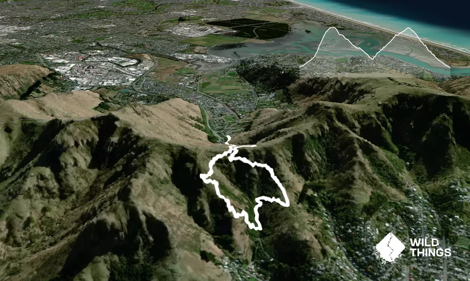
Trail Map
This Topo layer only covers NSW/ACT.
Switch to another map layer when viewing outside this area.
Switch to another map layer when viewing outside this area.