Last Updated: 27th Feb 2024
Horse Longitudes
Last Updated: 27th Feb 2024
Open
Grunt Factor: 13 ?
Gnarl Factor: 28 ?
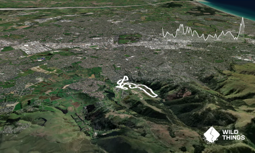
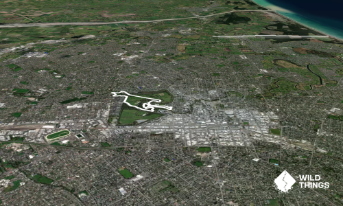
10.6km
340m
340m
270m
.jpg)
.jpg)
Trail Map
This Topo layer only covers NSW/ACT.
Switch to another map layer when viewing outside this area.
Switch to another map layer when viewing outside this area.