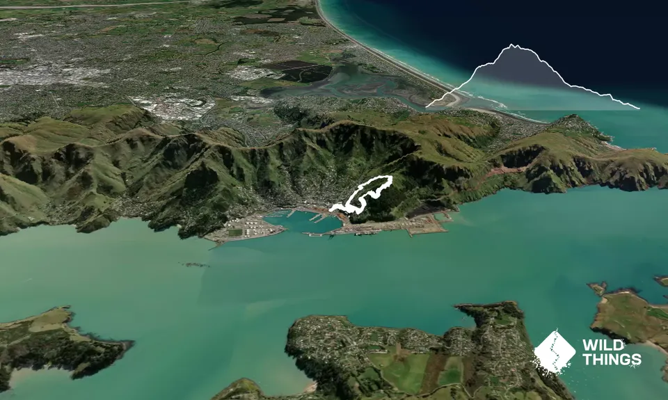
Start at the Lyttelton Info site on Oxford Street head up Sumner Road for approx.100m. Look left for a small step of stairs heading up onto a small parallel street, follow this for another 100m then turn left at Watsons Lane and head up the stairs.
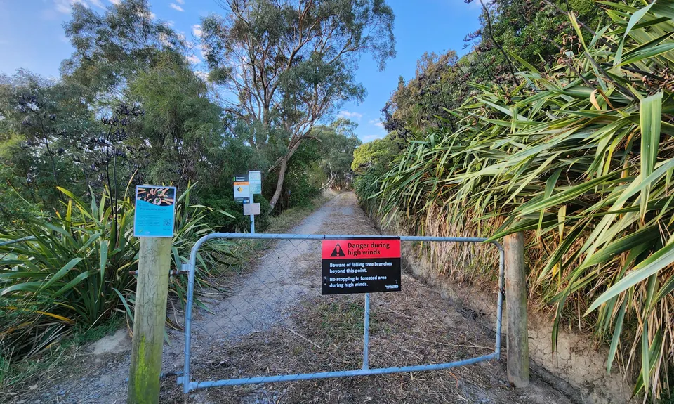
Turn right at the top onto Reserve Terrace, then turn left up Randolph terrace, then right up Gilmour terrace and head up until you reach Urumau Access gate.
Follow the access track upwards for approx. 200m and you will reach the Tui Track crossing over the access track. Turn Right onto the upwards Tui -traverse track and follow it back toward Sumner Road. There are lots of tracks going off in various directions, so follow the most used track.
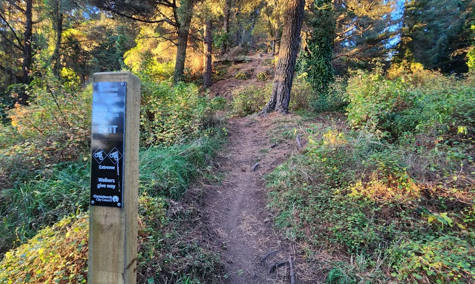
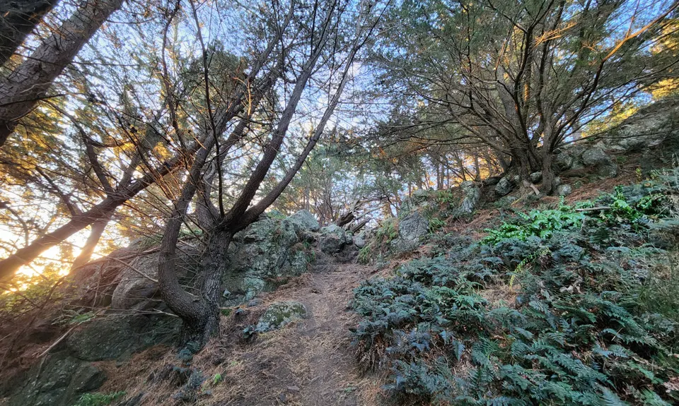
After about 10 minutes you will come to a Urumau reserve mountain bike sign on the left pointing up the hill “The Jackasaurus Track”. This is a very rough technical single track used by both mountain bikers and runners (runners give way to the odd bike, there won’t be too many it is a very rough vertical track) and, follow through rock and steep rubble straight up the hill.
Go to the right of the track around the bike jumps and head up to the top where there are picnic table and chairs.
Stop here, catch your breath, take some photos and then head down the side of the hill on a curving single path that takes you past the Loop track turn off and out into the open looking up toward the Gondola.
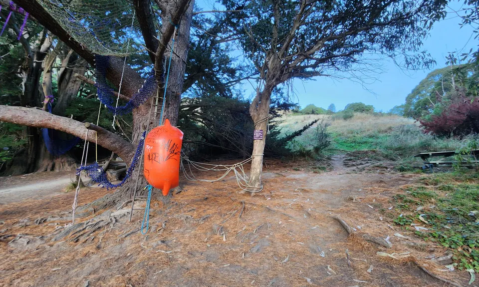
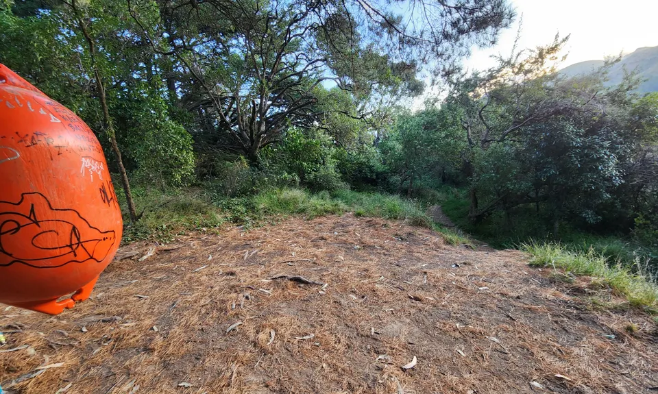
This is a nicely made gravel track stay on this for about 100m until you get to a switchback heading left, instead head right off onto a grassy track heading down into a gully until you get to another picnic table with lots of swings made out of old fishing nets and buoys.
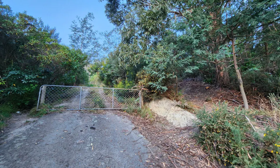
Look to the left and a small dirt track takes you down into a lovely, mowed area, head left and down the hill till you get to a gate, there is a gap on the right for walkers, go through the gap and out onto College Road.
Follow this narrow road down the hill then turn left back onto reserve Terrace. Follow the road down until the stairs at Watsons Lane then retrace your path back onto Sumner Road and end at the Lyttleton Info centre (your start point).