Sweet Sinclair SummitBeginner - Intermediate
Submitted by Stephanie Berry
Front country - easily accessible
Out and Back
Very hilly
Native bushOpen farmlandsOpen tussock/grasslandsOpen ridges/topsVolcanic
Beginner - Intermediate
2:00 (Slow)
1:30 (Moderate)
1:00 (Fast)
-9.6%
+9.6%
Fastest Known Times (FKTs)
Please set your gender to see your position on the FKT leaderboards.
The more , the harder the FKT will be to beat. Learn about Fastest Known Times.
Description
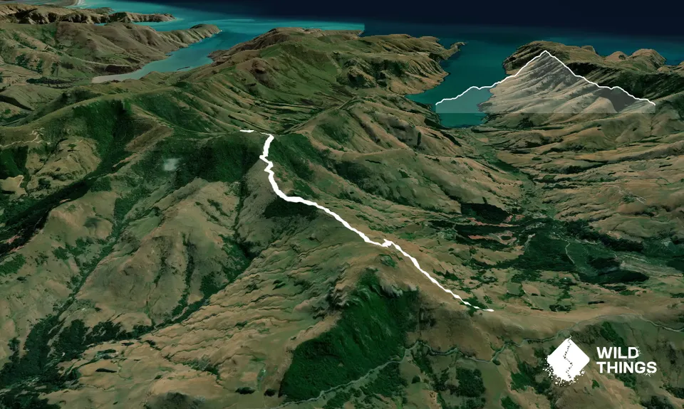
This is 99% easy to navigate. Simply follow the marked 4wd track Te Ara Pataka as it zig zags its way up towards Mt Sinclair.
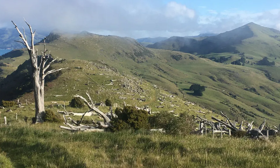
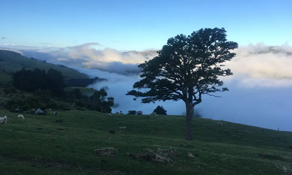
Approx 1.4kms in you will meet the junction with the track coming up from Montgomery Reserve. Hop over the stile and continue your climb. You will pass through the amazing Totara graveyard and then into regenerating bush. Take some moments to soak in the amazing views out across Lake Forysth and to imagine the amazing Totaras as they would have been when standing.
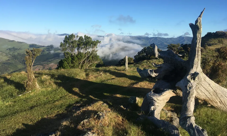
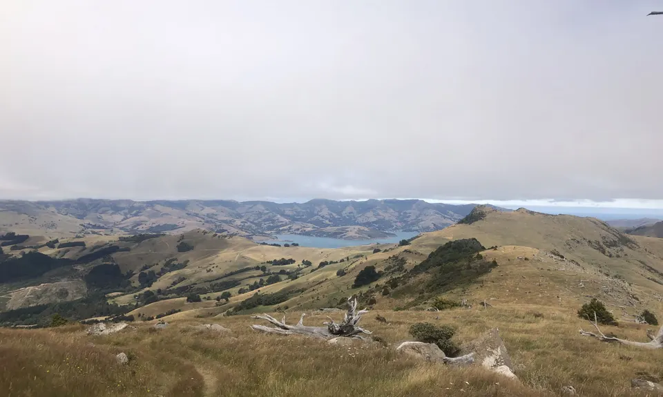
At about 3.8kms you will cross yet another stile and Pegasus Bay will come into full view. Another 300 metres along the track at 4.1kms (ish) you need to keep an eye out for a tall dead tree on your right. Directly opposite this is on your left is an old not so obvious 4wd track. You need to head up this a climb through the fence. Approx 100m up this track you need to veer right and start making your way through the bushes and spear grass to the summit. There is a track but it isn't very obvious.
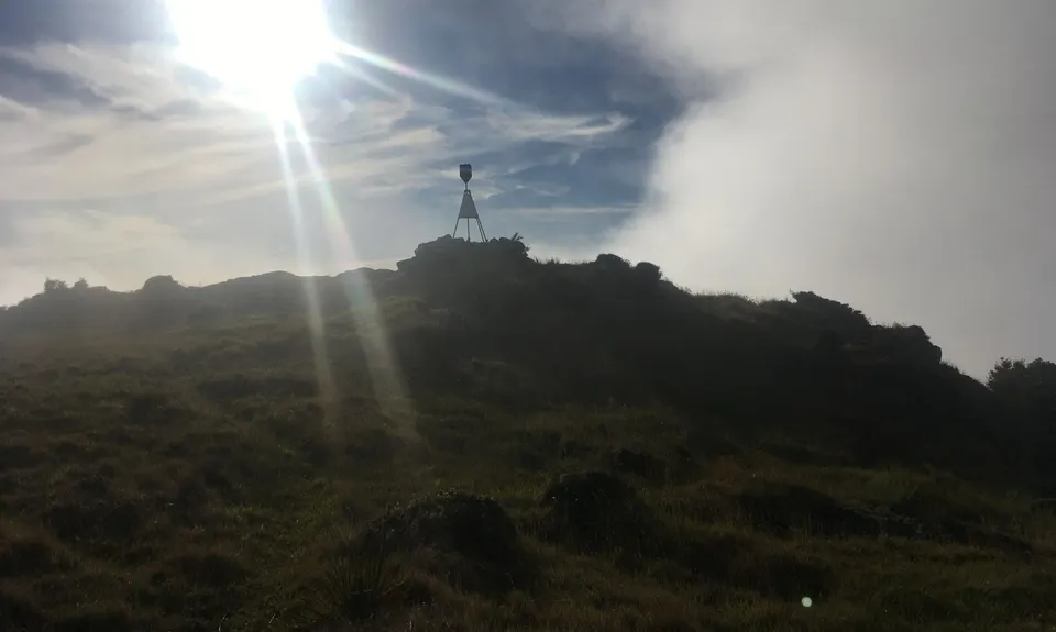
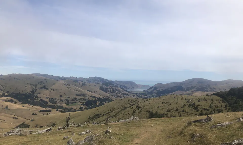
It's about another 200m to the summit. Soak in the amazing views out to Lake Ellesmere to the south, the Southern Alps to the west, Akaroa Harbour to the east and the magnificence of Pegasus Bay, the Kaikouras and beyond to the North. When you've refueled then turn around and retrace your steps back the way you came.
Trail Community
Features of interest
Native reserves, Totara graveyard ... the remains of giant Totara trees that were felled over 100 years ago and still lie where they fell. A reminder of humans' destructive power and the strength of Totara as a timber.
Make Up of Run
Untracked / Route only: 7%
Farm Road / 4WD Track: 93%
Route Data
Reviews:
Overlapping Runs
The following trails overlap with this run to some degree. You may wish to combine them but please note that to qualify for FKTs on these runs you should record a separate Strava activity for each

Mt Fitzgerald & Mt Sinclair
Length: 14.80km

Summit Walkway
Length: 34.00km

Montgomery Park Reserve
Length: 12.00km

Banks Peninsula Ultra Beer Run
Length: 50.00km
Photos:
Your Trail Wishlist
All the runs that are on your To Do list (no limit).
Add to wishlist view wishlistWild Explorers
I did it!-
Access
Pettigrews Road about 500 metres off the Summit Road on the bend. Look out for the DOC sign in the paddock.
Enough parking for half a dozen cars.
21 km
16 minutes
No
No
-
Staying Safe
Moderate.
Make navigation of this route super-easy by using the Capra app on your phone. View on Capra .
Keep an eye out for that dead tree on your right. If in doubt just head to the summit ... the wild deer make tracks through the bushes all the time so as long as you head in the right direction you'll get there eventually.
Generally good.
Short-sleeved thermal top, Seam-sealed waterproof jacket, Gloves, Beanie/thermal headwear, Whistle, First aid kit, Extra food for emergencies, Cellphone, Map.
No water available
Closed during lambing. Check the DOC website for specific dates.
-
Sponsor this trail