Last Updated: 15th Nov 2025
Riverhead Rambling
Last Updated: 15th Nov 2025
Open
Grunt Factor: 9 ?
Gnarl Factor: 34 ?
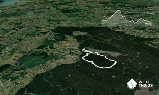
6.0km
160m
160m
166m
Last Updated: 15th Nov 2025
Last Updated: 15th Nov 2025
Open
Grunt Factor: 9 ?
Gnarl Factor: 34 ?
6.0km
160m
160m
166m
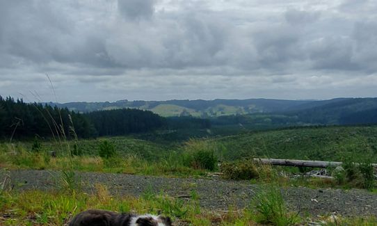
Front country - easily accessible
Loop
Undulating, some big hills
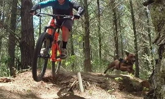
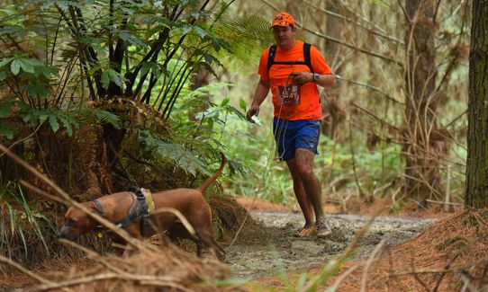
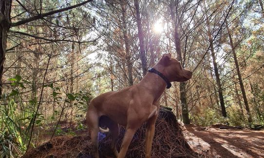
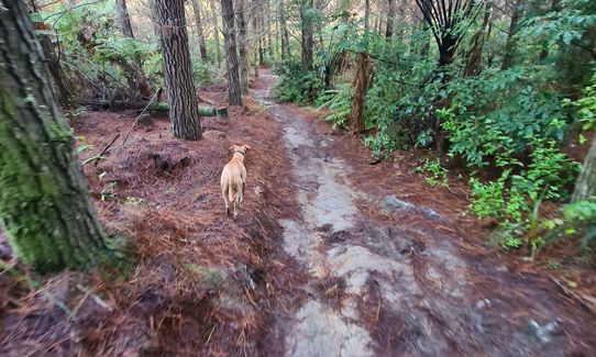
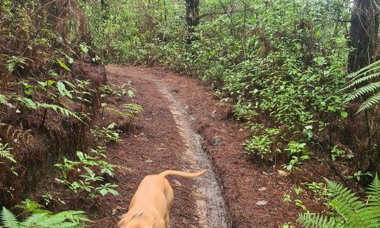
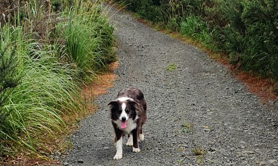
Dog Friendly
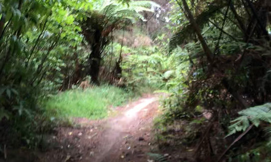
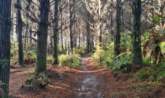
Plantation/exotic forest
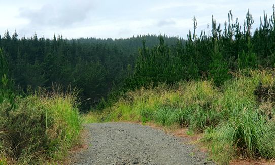
Farm Road / 4WD Track
Moderate Single Track
Average Uphill Gradient: +5.30%
Average Downhill Gradient: -5.80%
VIP Feature: Send this route to your Garmin account so you can follow the course on your Garmin device.
Become a VIP Member to see the trailhead information.
1:00
Slow
0:40
Moderate
0:25
Fast
An anti-clockwise loop up Barlow Road, left at Barlow Anzac Link, up Stoker, out and further up Barlow road, drop into Baconator, NW along the gravel road to Joes Bridge the along Barlow Road to Joes Bridge.
This is a simple loop there are many other options in the forest.
Note: Stoker trail has moved slightly, presumably due to logging, but there is one that goes close by and links you back up to Barlow.
The floating bridge, not on this route, but tucked away in Riverhead is quite neat.
If you know of any public toilets near the trail start or on the route, please login and then let us know so we can update this section.
35 km
33 minutes
Yes
No
Moderate.
Trail Forks the MTB app has a whole bunch of the trails, as does Strava, Trail Forks runs without cell reception and is quite good to navigate through the varying trails.
Patchy.
Whistle, First aid kit, Extra food for emergencies, Cellphone, Map
Few forest water dumps for the dog, carry your own.
Famous for mud and slip in winter
Mud
Hallertau
Good beer and food.
Do you have another suggestion on where to go afterwards for the best coffee / cake / breakfast / brunch / beer?
Fastest Known Times (FKTs)
You and Riverhead Rambling
As a VIP member you can record private notes for this trail, see all of your times and more.
Already have an account? Login now
A bit of a muddy slog, with a few bits closer to skiing than running. An awesome mix of single track, 4x4 track, and dirt roads. The dog loved it so much we went around for a second lap. Can't take the road straight back due to logging currently, but wasn't a big detour.
June 9, 2020
Cool run this morning, a couple of wrong turns but found my mistakes pretty quickly. Baconator section is pretty cool! Loved it.
February 6, 2020
This trail not possible to follow correctly the first time without a lot of preparation and some luck :) But after three attempts I know the route! Also not sure about the times proposed. It is closer to 7km according to my accurate GPS watch. Most of the trails I have run I am close to the intermediate time or a little faster. So intermediate time on this one should be 0:45 I would say.
December 8, 2017
These overlap with this trail to some degree. You may wish to combine them but please note that to qualify for FKTs on these runs you should record a separate activity for each.
Send to your phone
Scan the below QR code to open this trail on your phone.

Tip: position the QR code in your phone camera screen.
Plan smarter, stay motivated, track your progress, and unlock the full Wild Things experience — while saving along the way.


