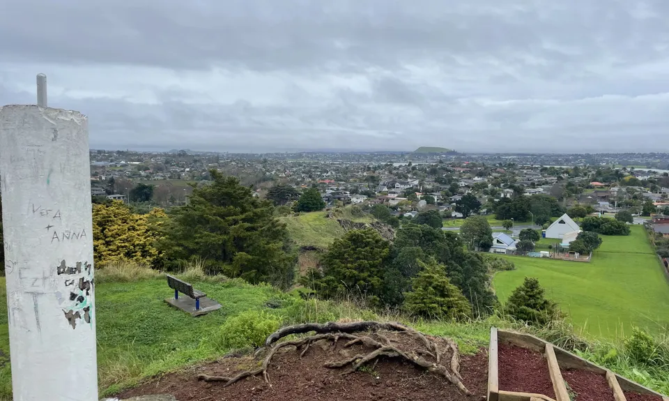
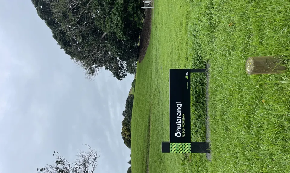
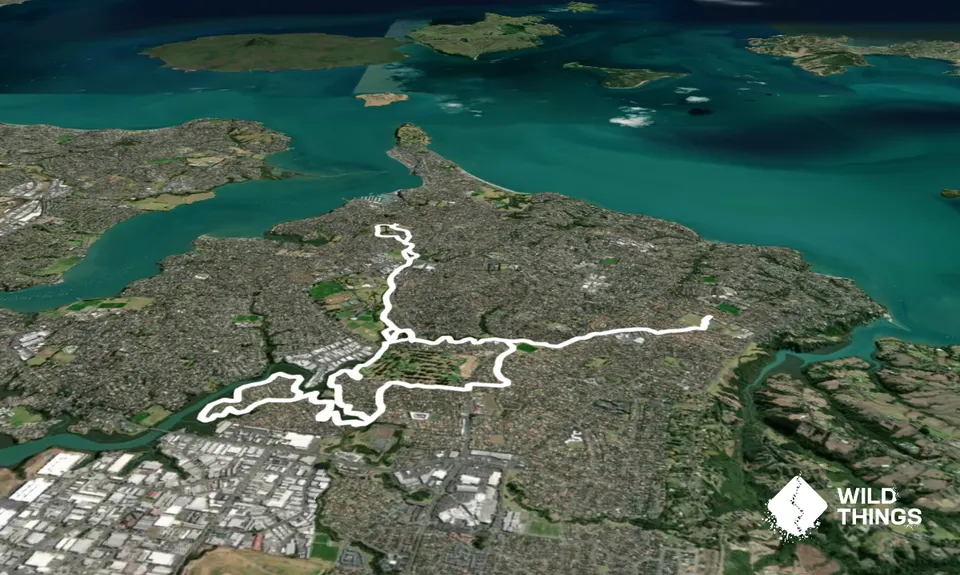
This route follows the urban pathways of the Howick Cascades and alongside the Pakuranga Creek, although there are a number of short sections along cul-de-sacs and side roads, some minor road crossings, and one major road crossing that is out of the way early on. It summits Ōruarangi (Pigeon Mountain), which at a lofty height of 58 metres is the easiest peak you will find in the Peak Directory! With a lot of twists and turns to this route it may be best to have the GPX on your watch, but precise directions follow.
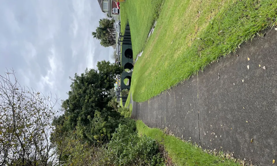
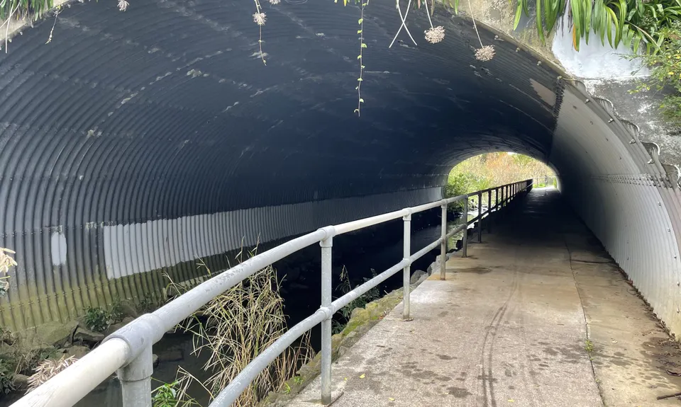
Proceed through Meadowland Park following the pathway. On the other side of the park you will cross Nicholas Road and proceed down Sandalwood. Follow the grassed laneway at the end of the cul-de-sac along briefly, then loop around above the culvert to cross the open drain in front to the opposite pathway. Follow this watercourse for a while, through the tunnel under Whitford Road and then on. There are side paths branching off but if you follow the flow of the water down you will remain on the right one.
Eventually, you will cross a small pedestrian bridge before continuing on the other side of the watercourse, which then comes to a culvert under a bridged Botany Road. In the culvert jump the watercourse to proceed on the trail to the left (or you can go up the bank and across the bridge on the Botany Road footpath). Following this will eventually bring you out on a road (Millhouse) and you will take the footpath to your right down towards Botany Road. This is a major intersection, so you'll need to pause and make use of the pedestrian lights.
Having crossed Botany Road you will turn left, but will need to be keeping an eye out for a right-of-way on your right shortly after - it is between walls and under trees so easy to miss if you are not careful. The right of way will take you onto a cul-de-sac (Seneca Court) at the end of which you will turn right (onto Golflands) and then next right again (The Green). Finally, you will come back to park and off roads, following the path to the left.
Proceeding through a series of parks you will have three minor road crossings but otherwise will be proceeding straight along this pathway. Eventually, the path drops down by an estuary inlet and you proceed over the footbridge immediately ahead. Crossing the bridge, take a right and follow the pathway alongside the inlet. You will come to a fork in the path where to the right it goes over a concrete pad weir adjacent to a stormwater wetland, take the path to the left. Follow that to go right on Burswood Road and the across to left down Brompton, and back into a park.
Going through the park keeping to the left you'll come to cross another section of Burswood Road, again turning right then left down to another section of park. From here you have a long pathway looping coastline around the peninsula with no more roads for a while. This comes back to the concrete pad you forked left from earlier and you retrace your steps back to the wooden footbridge. From here take the left fork onto a new pathway for another long section alongside the estuary.
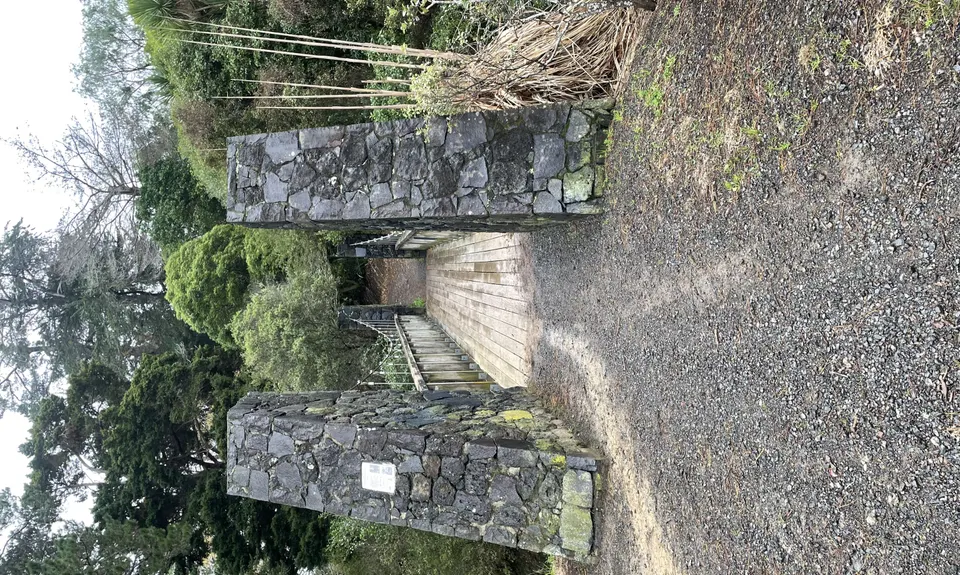
Proceeding along here you’ll eventually pass under another road bridge, Cascades Road, before the pathway arcs around and then there is a dirt fork on the left down to a large footbridge. Cross this and over the small hill, shoot down the right of way that comes up on the right and crosses another small road, then follow the pathway alongside Lloyd Elsmore Park to Pakuranga Highway and under through another culvert.
Shoot up the small grass bank and alongside Buckland Beach Road and pass a small treed section on the left, before then turning left along the grass section following the fenceline behind homes. This will bring you to another small footbridge, which you will cross then take the path to your right up to Casuarina Road. Turn left, then proceed up Fiesta Drive to the right. Follow Fiesta for a few hundred metres then take a right-of-way to the right, across another small side street and on to Gills Road, with Ohuarangi (Pigeon Mountain) in front of you.
Angle to your left as you head up the flank of Ohuarangi then look for the summit pathway to your right. After summiting, return back down the pathway to then drop down through pine trees to your right onto a grassed area and follow this around to the left, arcing left past a scout hall and around to the playing fields below Pigeon Mountain. Follow these down to a T-intersection, which you will cross hunting for a right-of-way on the opposite side.
Through the right-of-way follow the road back to Fiesta and then back the way you came – although at the next little footbridge you can keep right and arc across the grassland back towards the Pakuranga Highway culvert for some small variation.
Proceed back through Lloyd Elsmore Park as you came, but for another variation keep to the footpath rather than back through the right-of-way you came down (you’ll find this is the natural way to navigate this section anyway). Crossing the large footbridge again and up the dirt hill, you’ll angle to the left unto some new pathway. This will eventually take you back to the first culvert you jumped very early on in the run, you’ll jump this once more but otherwise proceed directly ahead on a reverse of the first section of this route and back to Alicia Road.