Last Updated: 23rd Mar 2026
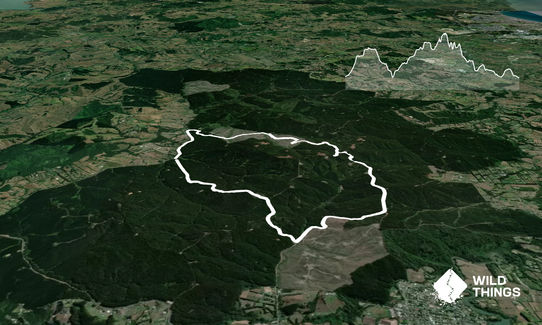
Strip Trig to Barlow
Last Updated: 23rd Mar 2026
Grunt Factor: 15 ?
Gnarl Factor: 69 ?
13.5km
357m
359m
178m


Last Updated: 23rd Mar 2026
Last Updated: 23rd Mar 2026
Grunt Factor: 15 ?
Gnarl Factor: 69 ?
13.5km
357m
359m
178m
Front country - easily accessible
Loop
Undulating, small hills only
Dog Friendly
Native bush
Plantation/exotic forest
Farm Road / 4WD Track
Easy Single Track
Average Uphill Gradient: +5.00%
Average Downhill Gradient: -5.00%
VIP Feature: Send this route to your Garmin account so you can follow the course on your Garmin device.
Become a VIP Member to see the trailhead information.
2:00
Slow
1:30
Moderate
1:00
Fast
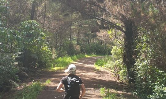
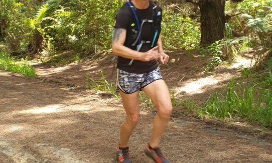
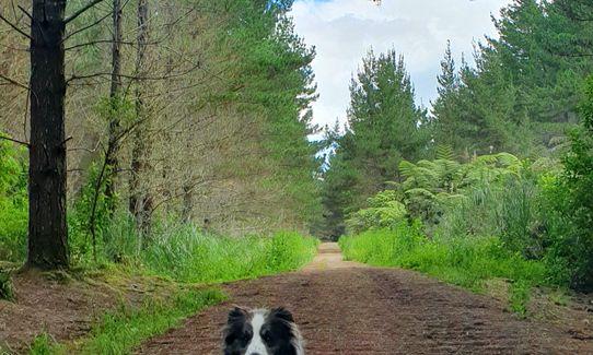
A 13.5k loop that takes you on a gradual but persistent uphill climb to the trig point just over half way (this provides a good opportunity/excuse to have a breather/lunch before carrying on home). Mostly on well formed forest roads through mature pine plantation which provide shade from the sun or shelter from the wind and rain. Mature sections and a scattering of natives/hardwoods provide a very pleasant nature feel despite being a commercial forest. You will be serenaded by birdsong and if you decide to run at night/late evening you will hear Ruru (morepork) and most likely few possums too. Forest roads are well formed so you can plod along or run hard, or even run at night (head torch optional depending on cloud cover).
Follow Strip Road uphill until you emerge into a wide storage type area, cross straight over and take the right hand track down the far side, after 100 or so metres you will come onto Barlow Road. Take a right and continue downhill, veer left downhill when a fork appears, then left again at the next junction (about 3.7km) Now you are on Longbush Road and start heading uphill.
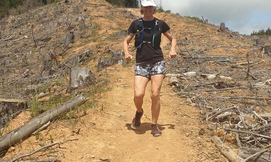
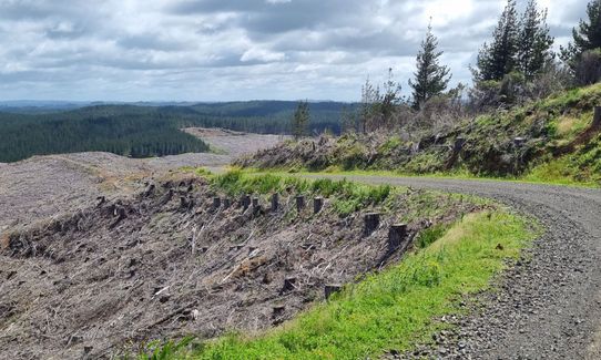
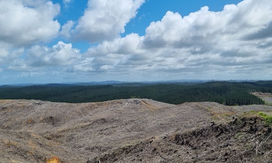
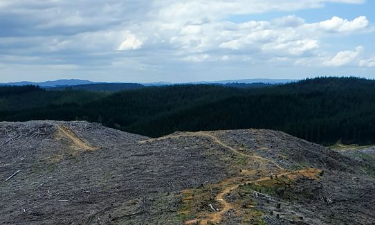
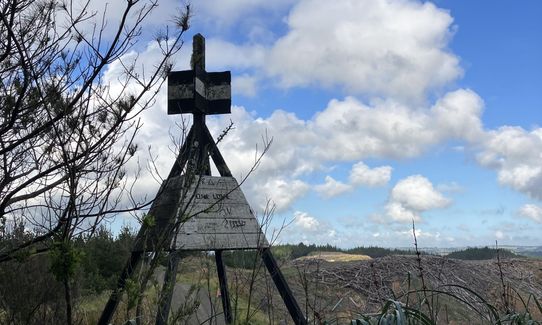
Continue heading up Longbush until you come to a ridge with a wide view over a naked clearfell harvested area (in 2022), take a left up Trig Road (steep and winding). About 400m up to the trig point take in the views out across Auckland before backtracking 200m to take the single track down the ridge to the north of Trig road. The single track becomes a 4wd track and a forest road. At 10km you take a left at the fork to stay on Hansen Road, 1km later you arrive at Barlow Road. Either turn right downhill on Barlow or take the pleasant single track through the trees on the far side that runs down the side of Barlow.
When you reach Barlow gate turn left and follow along the wide grassy roadside for 1.5km back to where you started at Strip road. There are many single tracks in this area so there is a good chance one of them joins Barlow to Strip Road if you are keen to explore more.
This trail includes the peak Red Hill A9KV.
Views out across the whole of Auckland from the Trig point. Plenty birdlife in the forest, the occasional deer and/or wild pig.
If you know of any public toilets near the trail start or on the route, please login and then let us know so we can update this section.
Plenty parking on open ground off the road near the gate. Make sure you don't block the gate.
34 km
30 minutes
Yes
No
Moderate.
Generally good.
Windproof jacket, Whistle, First aid kit, Extra food for emergencies, Cellphone, Map
No drinking water available on the route, or at the start/finish.
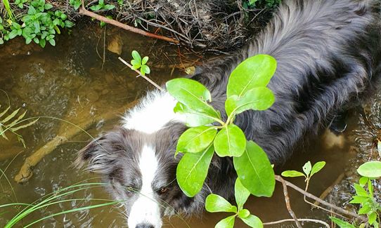
The shore section of single track can be muddy and slippy after rain or in winter. Forest roads are fine all year.
You may experience Dog walkers, mountain bikers, horse riders, wild pigs or dirt bikers (Although motorbikes are well managed and only during club events - predominantly).
Do you have a suggestion on where to go afterwards for the best coffee / cake / breakfast / brunch / beer?
Trail Legend
Login as a VIP to become a Trail Legend. Learn about Trail Legends.
Fastest Known Times (FKTs)
You and Strip Trig to Barlow
As a VIP member you can record private notes for this trail, see all of your times and more.
Already have an account? Login now
These overlap with this trail to some degree. You may wish to combine them but please note that to qualify for FKTs on these runs you should record a separate activity for each.
Send to your phone
Scan the below QR code to open this trail on your phone.

Tip: position the QR code in your phone camera screen.
Plan smarter, stay motivated, track your progress, and unlock the full Wild Things experience — while saving along the way.


