This route without the AMETI Bus-way works around Panmure would follow the coastal track all the way to the Panmure Bridge, then once across Panmure Bridge would follow the pedestrian access way onto Bridge Street. However at time of submission, the works require a road loop around this area. In future, it may be possible to cut out this section which is a substantial part of the road running on the route.
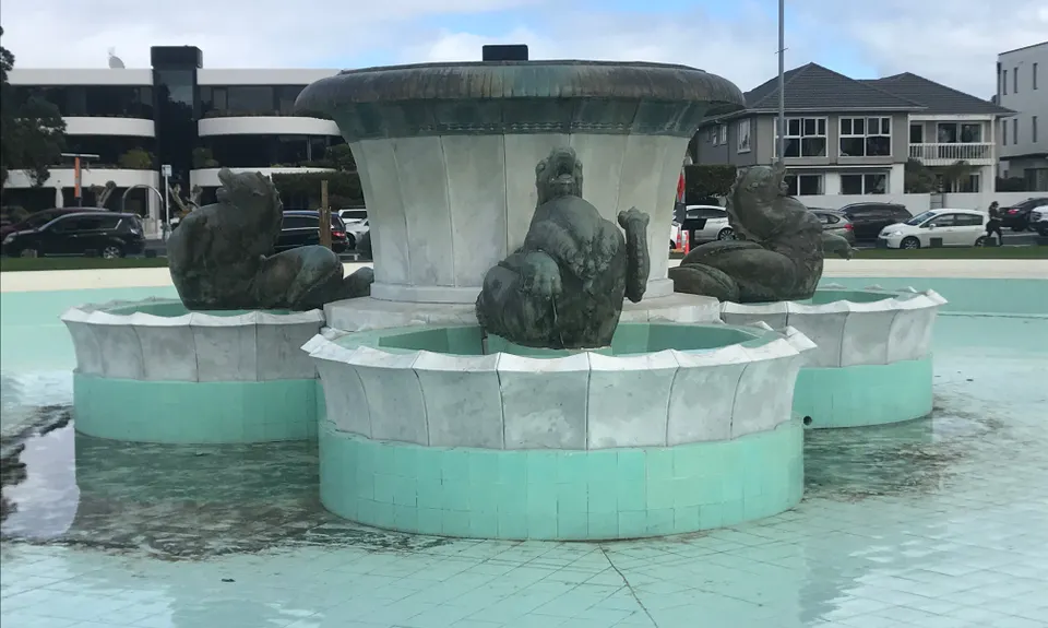
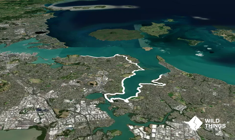
The route travels from Half Moon Bay ferry terminus to the Mission Bay fountain. There are options to lengthen it before the start along Bucklands Beach or even taking in Musick Point, or at the finish by extending along Tamaki Drive. Or it could be shortened up to finish in Glover Park for anyone wanting to stay away from the masses on the Auckland Eastern Bays waterfront.
From the ferry terminal you head directly across the road and up the stairs in front and along a short section of cliff-side track before running some short road sections and pedestrian walkways. Follow the walkway markings directing you towards Whakaaranga Creek Reserve.
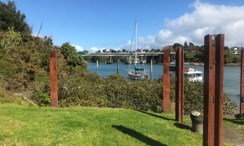
Continuing through Whakaraanga Creek Reserve you will proceed onto the Rotary Walkway that carries you all the way to Panmure, and over the Panmure Bridge. Following some short sections of quiet suburban roads to the Panmure Yacht and Boating Club then leads to the Point England walkway.
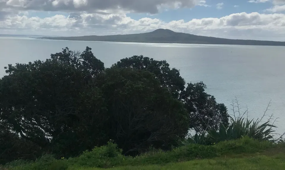
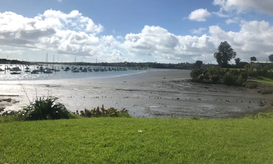
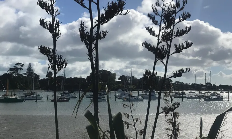
Heading north along the Tamaki Estuary this will eventually lead you to Tahuna Torea Reserve (Pt England Spit) then on to Roberta Reserve, Glendowie Park, Churchill Reserve and Glover Park. The mapped route skirts Glover Park but a good variation is to go along Waitara Road and then along the cliffside pathway around the far side of Glover Park, with fantastic views out over Motukorea (Browns Island) and the gulf. From here a short section of road running takes in another great lookout at Achilles Point, and then Cliff Road carries you down to Tamaki Drive and a flat blat along the beachside paths to Mission Bay.
See the Navigation Tips fr more help in not getting lost!
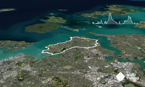
The route loops the lower Tamaki Estuary north of Panmure Lagoon and takes in the Whakaraanga Creek inlet and Tahuna Torea (Pt England Spit) coastal reserve and wetlands. It eventually passes through the crater of Whakahumu (Glover Park) and visits the lookout at Achilles Point that celebrates the Battle of the River Platte.
If you know of any public toilets near the trail start or on the route, please login and then let us know so we can update this section.
The start point can be reached by public transport (either bus or ferry) and has plentiful public parking. Note though that the route is a point-to-point, so transport arrangements for both start and finish need to be considered.
21 km
24 minutes
No
No
Easy.
When south of Half Moon Bay you come off Eclipse Drive onto William Bryan Drive, there is a right-of-way pathway directly in front of you. Do NOT take this path, while it appears that at some time it may have passed directly through the neighbourhood it comes to a wall part way down. Instead follow William Bryan Drive to the right and loop around on the roads.
Entering Whakaaranga Creek Reserve it is easy to be disorientated and unsure of the route - as you proceed into the park take the first trail to the right, and then take the following right also.
Please note the points above regarding the AMETI bus-way works and navigation around the vicinity of Panmure Bridge.
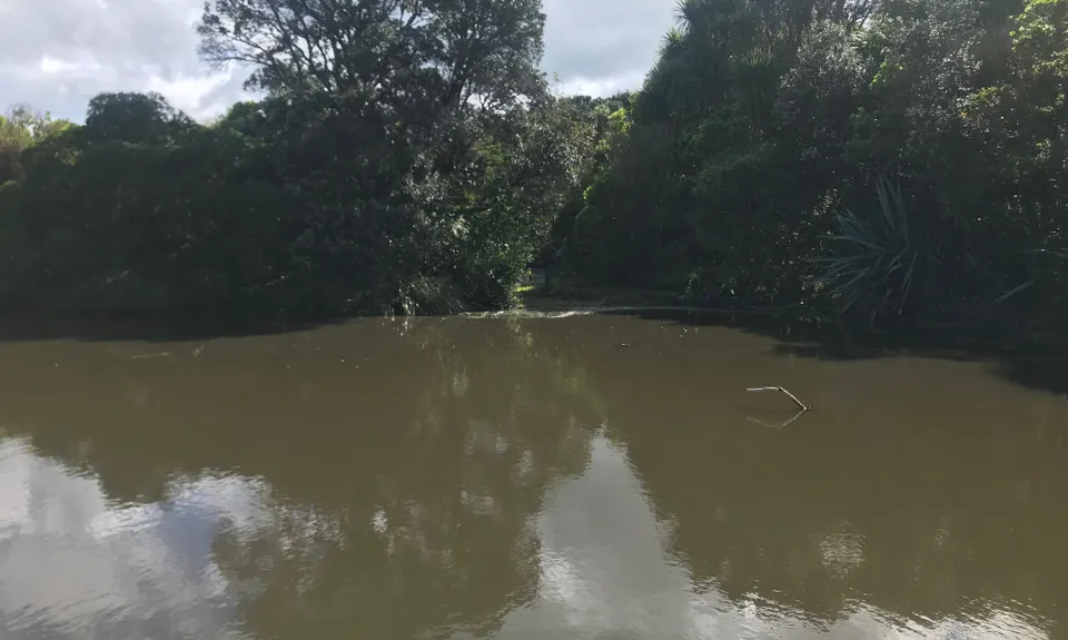
Pay close attention to the following, if you are going to get lost on this route this is likely to be where it will happen. Exiting Point England reserve across a bridge over a broad creek, be sure to take the path to the right (following it straight ahead would spit you out on Kotae Road). Then following that track towards Tahuna Torea there is an area of unformed track across grass between the rear of houses on Silverton Ave, and the estuary. At the end of this section the mapped route dives down to the right and onto a bush track, a connection that is very easy to miss. If you do miss it though, the track will eventually loop you around in the same direction if you keep towards the coast - but the mapped path is the most direct.
There are public drinking fountains along the route at points, notably at Pakuranga Sailing Club, Point England Reserve, and at both St Heliers and Kohimarama beaches on Tamaki Drive.
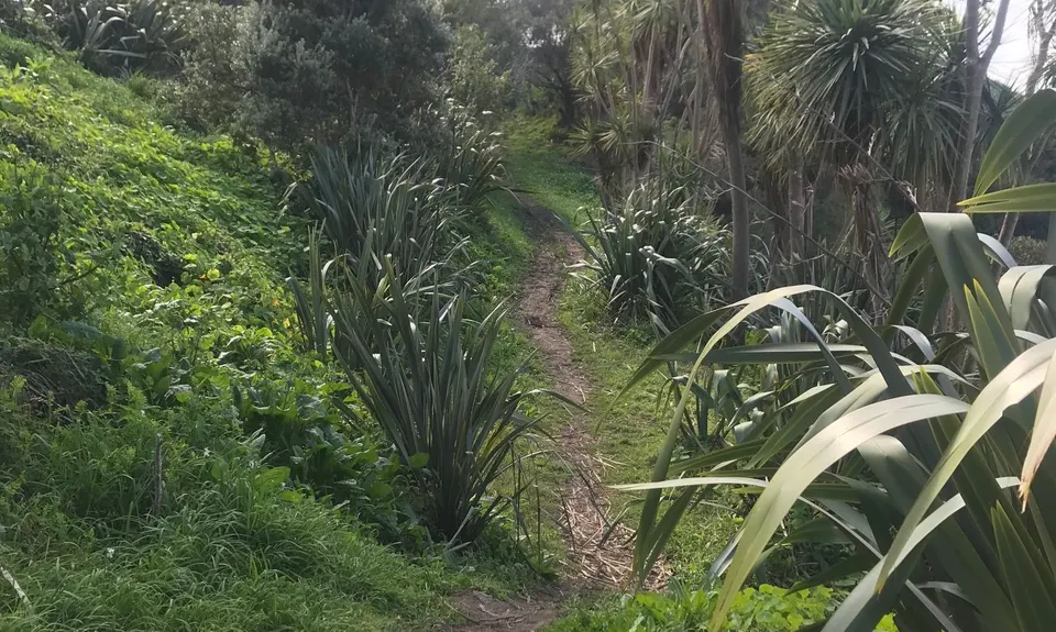
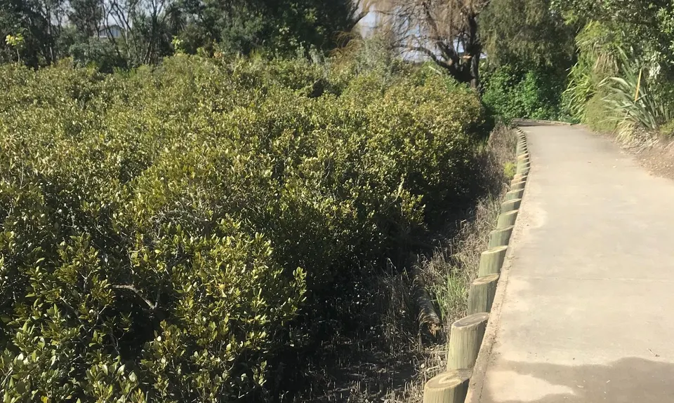
Small parts of the track between Point England Reserve and Tahuna Torea may get boggy or muddy in wet winter conditions. Otherwise the route is almost entirely sealed and easy in any conditions.
Caution is required around the AMETI works while these continue.
Mission Bay Cafe
85 Tamaki Drive, MIssion Bay http://missionbay.cafe/
A great spot for a coffee or a cafe meal, and with outdoor seating for the smelly runner!
Mamma Mia Pizza
51 Tamaki Drive, Mission Bay http://www.mammamia.co.nz/
The best pizza in Auckland, from one of Auckland's oldest and genuine family-run Italian restaurants. Grab a pie to take out, and sit on the grass in Selwyn Reserve to enjoy!
Do you have another suggestion on where to go afterwards for the best coffee / cake / breakfast / brunch / beer?
Nice run around the Tamaki Estuary. The course is mostly single trail, however approx. 85% of the run is on a concrete path, so a bit harder on the knees (at least mine anyway!)
These overlap with this trail to some degree. You may wish to combine them but please note that to qualify for FKTs on these runs you should record a separate activity for each.
We don't store or share your location; it's only used for these features. You can continue without it, just without distance sorting and live map features.
Send to your phone
Scan the below QR code to open this trail on your phone.
Tip: position the QR code in your phone camera screen.