Last Updated: 17th May 2024
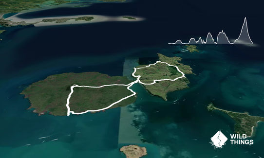
Rangitoto - Motutapu Double V2
Last Updated: 17th May 2024
Open
Grunt Factor: 31 ?
Gnarl Factor: 26 ?
28.5km
700m
700m
260m
Last Updated: 17th May 2024
Last Updated: 17th May 2024
Open
Grunt Factor: 31 ?
Gnarl Factor: 26 ?
28.5km
700m
700m
260m
Front country - easily accessible
Loop
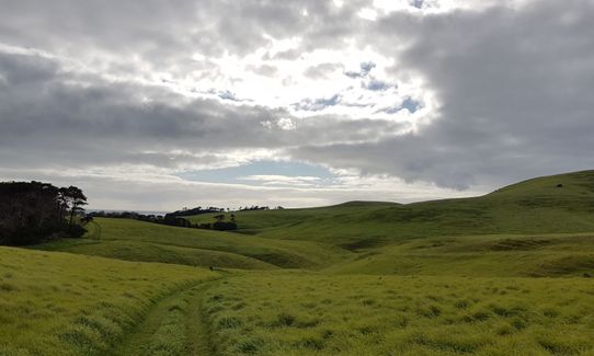
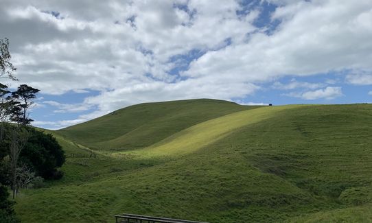
Undulating, some big hills
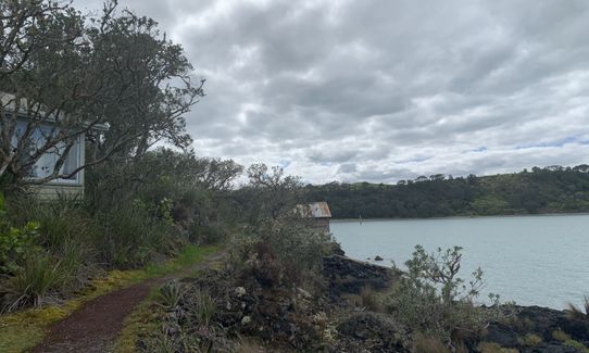
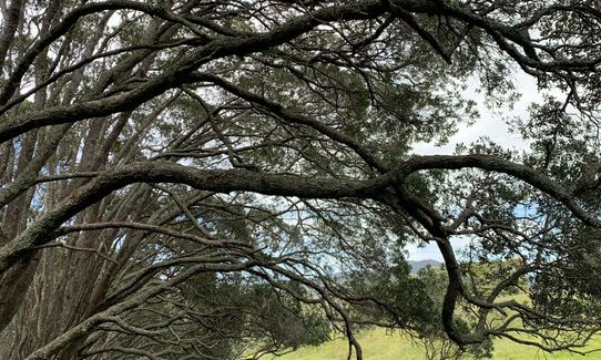
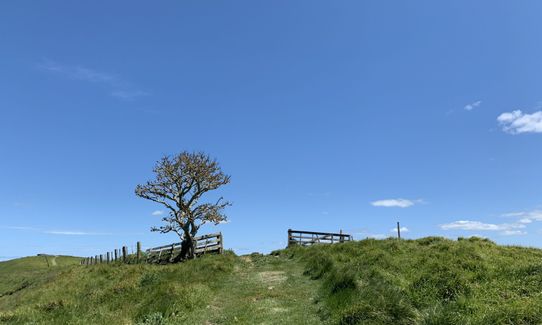
Native bush
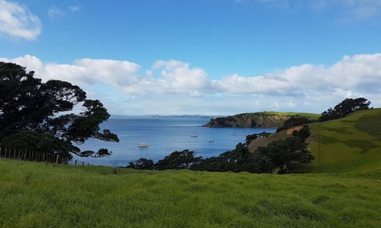
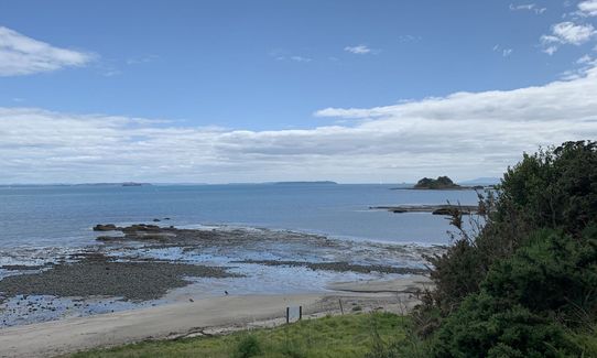
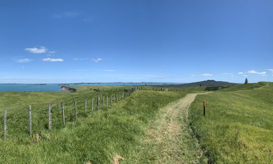
Coastal
Open farmlands
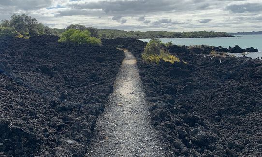
Volcanic
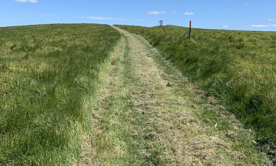
Gravel Road
Easy Single Track
Moderate Single Track
Technical Single Track
Average Uphill Gradient: +5.3%
Average Downhill Gradient: -5.6%
VIP Feature: Send this route to your Garmin account so you can follow the course on your Garmin device.
Login as a VIP to see the trailhead information.
5:00
Slow
3:45
Moderate
2:30
Fast
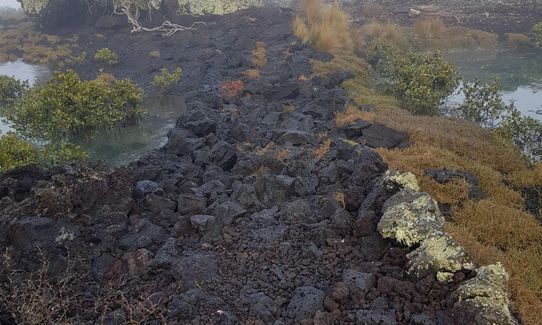
Start from main Rangitoto wharf and follow road right until reach sign for coastal path to Islington Bay. Follow this for around 3.5km to Islington Bay (warning - very uneven scoria underfoot, but worth it for glimpses of coastal views). From Islington Bay continue to follow path up inlet past old baches until you reach the causeway and the (unsealed) road - around another 1.3km.
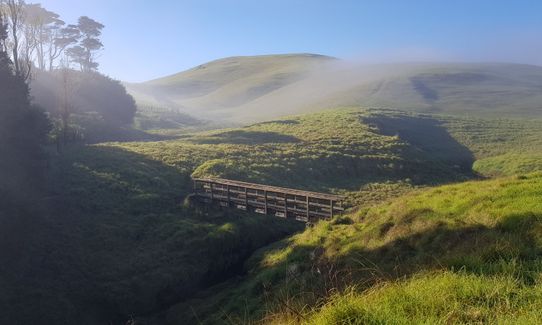
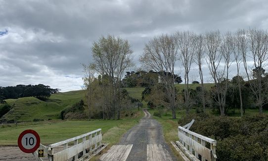
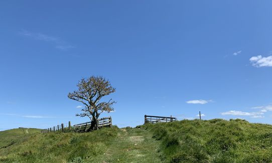
Cross causeway via bridge and head uphill on road for short stretch until you see the footpath sign on the left for Administration Bay/Motutapu Outdoors Centre. Cross fence using step-stile and follow 4WD track. Look out for path heading off left after a couple of hundred metres! Follow orange poles and markers cross-country to Administration Bay (not very well trodden but plenty of markers).
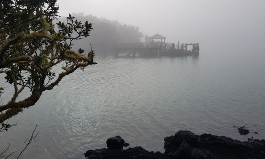
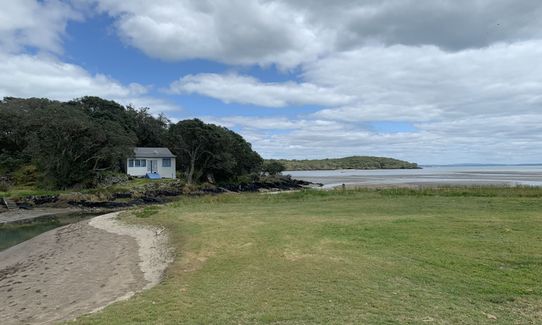
Skirt around private Outdoors Centre using path along fence down to beach. Continue along beach to Sandy Bay - whole track is about 5.3km. Take signed route up from Sandy Bay to Northern Junction - this part has yellow, not orange, poles! Watch out for first pole after beach as it's easy to miss (uphill on right after fence crossing.) Around 1km to Northern Junction. Follow either road (left) or Rotary Trail (right on road 100m then left) down to Home Bay. Rotary trail is shaded and nicer, and has 2 options. Around 2km via trail to Home Bay.
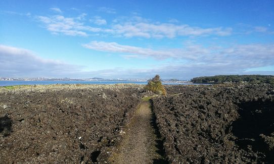
From Home Bay just follow the Island Causeway route back over Motutapu to the causeway (around 6km) then take the unsealed road all the way up to the summit, following green DOC signs. Option for detour to lava caves on the way up. The last bit is all steps but worth the climb, and whole road is around 4.5km of hot slog.
Enjoy the summit views then race down via the nice wide track signed Rangitoto Wharf - bottom section is all scoria but graded, and it's only about 2.5km.
Cool off in tidal pool or sea, and refresh with a cold beer on the ferry home!
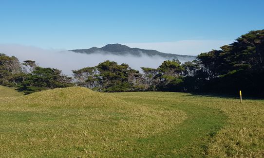
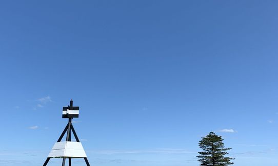
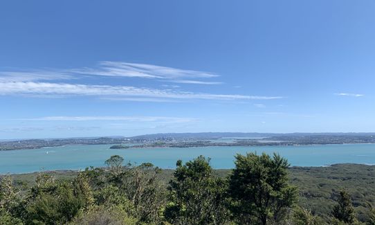
Stunning scenery, volcanic trails, swimmable bays, historic gun emplacements, historic homesteads, lava caves, native birds
If you know of any public toilets near the trail start or on the route, please login and then let us know so we can update this section.
Fullers ferry from Auckland CBD several times each day. 7.30am is $15 cheaper so recommend.
0 km
0 minutes
Unknown
No
Moderate.
Rangitoto tracks are very easy to follow but the northern tracks on Motutapu only have coloured poles and may be across unwalked farmland. Just keep an eye out for the poles and triangles!
Perfect throughout.
Lightweight fleece top, Short-sleeved thermal top, Seam-sealed waterproof jacket, Whistle, First aid kit, Extra food for emergencies, Cellphone, Map
No water on Rangitoto. May be done at Home Bay but untreated. Take lots as there are pretty much no streams either. You can buy drinks on the boat though.
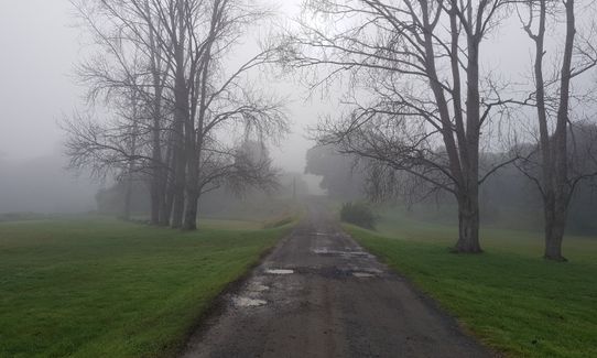
Very hot and dry in summer. One section on Motutapu (partway along route to Administration Bay where you turn inland and cross a small gully after a footbridge) would likely be very boggy after rain.
Scoria on Rangitoto is very tricky underfoot and cuts badly if you fall - suggest cycle gloves and tough trail shoes.
Cows on Motutapu.
Cold beer and snacks
Ferry
Fastest Known Times (FKTs)
You and Rangitoto - Motutapu Double V2
As a VIP member you can record private notes for this trail, see all of your times and more.
Already have an account? Login now
WC
It is definitely a run of two halves. On Motutapu your runability will depend on the state of the paddocks you need to cross when following the yellow markers. I had deep wet grass over deeply rutted cow paddock in places and it was tough going...but rewarding also. I highly recommend this loop. My watch gave me 26k but I didn't follow this exactly as I took a shorter line over Rangitoto. You can get the 7.30 early-bird ferry and make the 12.45 return fairly comfortably. Very good instructions but be aware poor mobile coverage in parts so screen shot them first!
February 5, 2018
Excellent run for those wanting to step it up a notch & experience a range of terrain & hills. Very doable. The map & instructions are awesome & easy to follow.
January 14, 2018
These overlap with this trail to some degree. You may wish to combine them but please note that to qualify for FKTs on these runs you should record a separate activity for each.
Send to your phone
Scan the below QR code to open this trail on your phone.

Tip: position the QR code in your phone camera screen.


