Last Updated: 21st Sep 2023
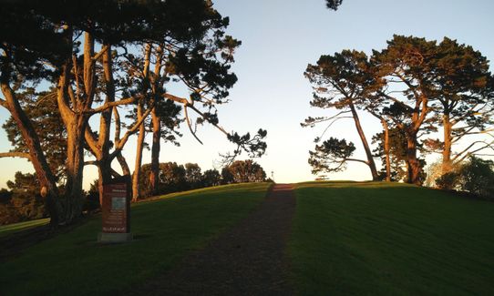
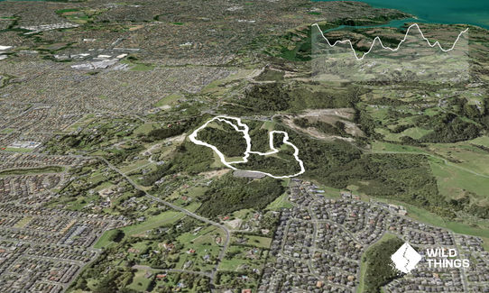
Puke Ariki (Point View Reserve)
Last Updated: 21st Sep 2023
Open
Grunt Factor: 7 ?
Gnarl Factor: 51 ?
3.4km
210m
210m
140m

Last Updated: 21st Sep 2023
Last Updated: 21st Sep 2023
Open
Grunt Factor: 7 ?
Gnarl Factor: 51 ?
3.4km
210m
210m
140m
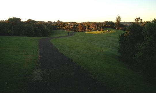
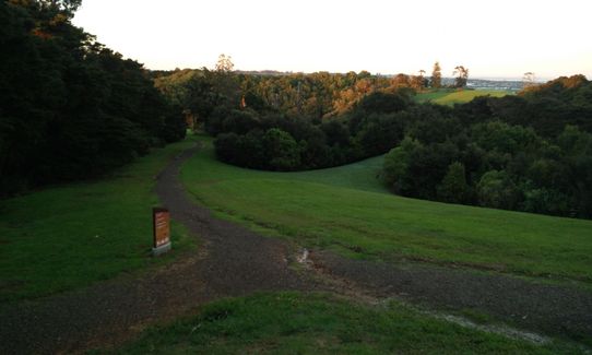
Urban fringe
Loop
Undulating, some big hills
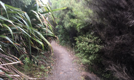
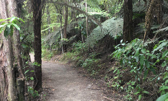
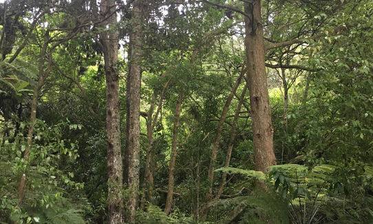
Native bush
Easy Single Track
Moderate Single Track
Technical Single Track
Average Uphill Gradient: +12.0%
Average Downhill Gradient: -12.9%
Login as a VIP to see the trailhead information.
1:00
Slow
00:30
Moderate
00:20
Fast
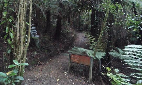
Nice little run / cardio workout in a reserve in East Auckland. The description below is for a larger and a slightly smaller loop which takes you to most of the reserve. You can always do another loop if you're up for it.
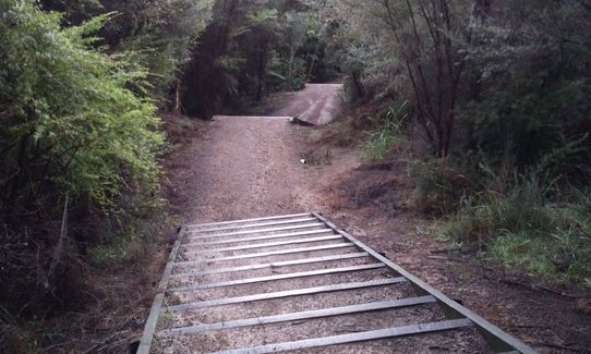
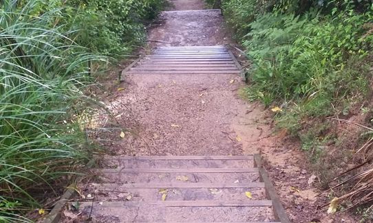
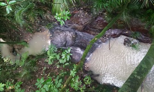
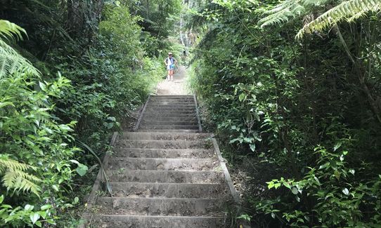
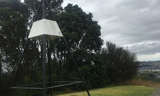
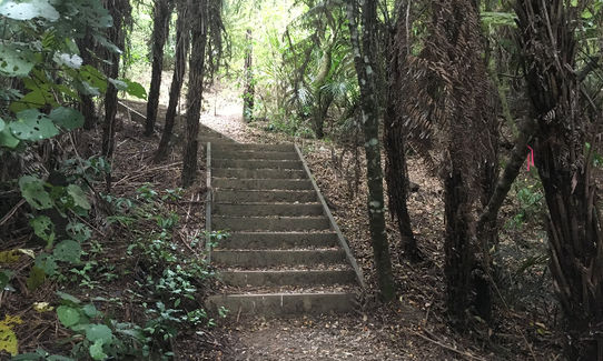
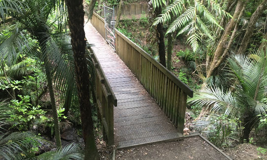
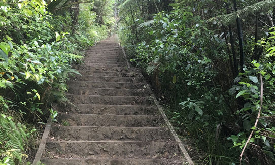
Start from the car park and make your way up to the trig station, follow the track and keep right. Make your way down the Kereru track keep going straight towards the water reservoir. Keep left onto the Piwakawaka track (keep water reservoir on your right). Turn left into the Koura track and make your way down the steps (remember, what goes down must go up). After crossing the Glulam bridge over the stream, make your way up the stairs (165+). When you reach the clearing, keep right where you will find more stairs. At the end of the track turn left onto the Pekapeka track. At the end turn right onto the Tui track and make your way down. After crossing the the little bridge, keep right onto the Riroriro track. Follow the track up and keep left after crossing the next bridge. After some 200+ stairs you will find your self at the start. Now continue for another smaller loop.
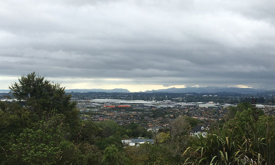
Head towards the trig station as before, some track down the hill. When at the clearing, turn left into the Riroriro track. make your way down and follow this track. After crossing the bridge (same as before) you now turn right and up the stairs (again) onto the Pekapeka track. On the top of the track, turn left onto the Ruru track, enjoy the view towards Rangitoto and follow the track until you're back at the car park.
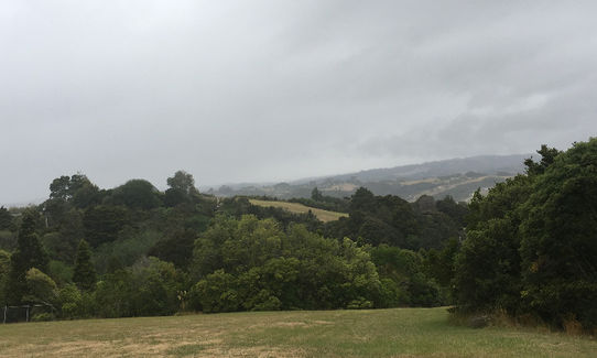
1) Views over Auckland in all directions
2) Native bush such as Purir, Totara, Rimu, Toraire and Kahikatea
3) Native birds such as Kereru, Morepork, Piwakawaka, Riroriro and Tui
If you know of any public toilets near the trail start or on the route, please login and then let us know so we can update this section.
You can park on Cadwells Road.
Currently (May 2017) the car park is closed due a small slip near the gate.
A bus stops on Killkenny Drive, which requires an addition 100 m climb up the hill.
24 km
28 minutes
Unknown
No
Easy.
Perfect throughout.
Whistle, First aid kit, Cellphone
Non available, please bring your own.
A few muddy sections and slippery steps after some rain .
A few low hanging trees.
Trail Legend
Fastest Known Times (FKTs)
You and Puke Ariki (Point View Reserve)
As a VIP member you can record private notes for this trail, see all of your times and more.
Already have an account? Login now
Fabulous for stretching calves, and achilles. I ran again after but tried a wider loop to see if I could add on to the distance. Unfortunately this requires running on pavement (behind the reservoir, down the driveway, along Gracechurch Drive a few steps, and then up Piwakawaka 'track' to rejoin the trail you ran as part of the directory trail). If you prefer all trail, it's best to repeat this same trail, or run it in reverse for variety. Point View Reserve could easily become another favourite haunt; it's just as close as Totara Park for me.
September 17, 2023
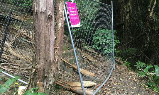
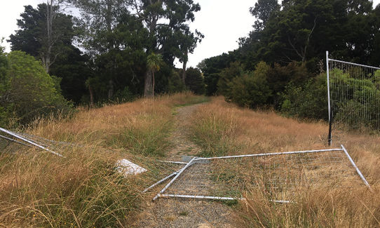
Never knew this gem was here but thanks to Wildthings I now do! A little stunner of a track close within reach. There is small pockets of track closed due to Kauri die back (14/01/2020). Fences have been knocked down in some sections or by passes created. For the few hundred metres I couldnt do I made up for on the big loop with extra kms and grass hill work in the rain.
January 14, 2020
Ive been making a tour of all the short kid friendly trails this summer and Puke Ariki is a great one for our mini wild things/repeats or beginners....actually quite grunty for its length, must be 500+ stairs and some really nice stops along the way with great views.
February 3, 2019
Wow, lots of steps! Should definitely do this more often. Great to have little bush areas like this in the middle of the 'burbs.
July 23, 2018
Send to your phone
Scan the below QR code to open this trail on your phone.

Tip: position the QR code in your phone camera screen.


