Last Updated: 21st Oct 2024
Swallow's loop
Last Updated: 21st Oct 2024
Open
Grunt Factor: 40 ?
Gnarl Factor: 20 ?
23.8km
1975m
1975m
495m


Last Updated: 21st Oct 2024
Last Updated: 21st Oct 2024
Open
Grunt Factor: 40 ?
Gnarl Factor: 20 ?
23.8km
1975m
1975m
495m
Front country - easily accessible
Combo
Very hilly
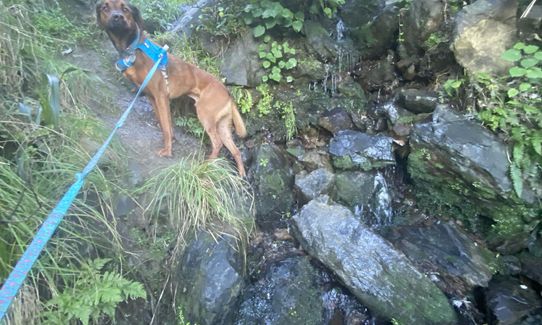
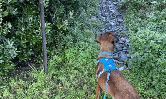
Dog Friendly
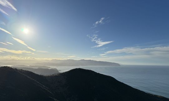
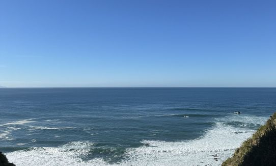
Coastal
Other
Farm Road / 4WD Track
Moderate Single Track
Average Uphill Gradient: +16.7%
Average Downhill Gradient: -16.7%
VIP Feature: Send this route to your Garmin account so you can follow the course on your Garmin device.
Login as a VIP to see the trailhead information.
6:00
Slow
4:30
Moderate
3
Fast
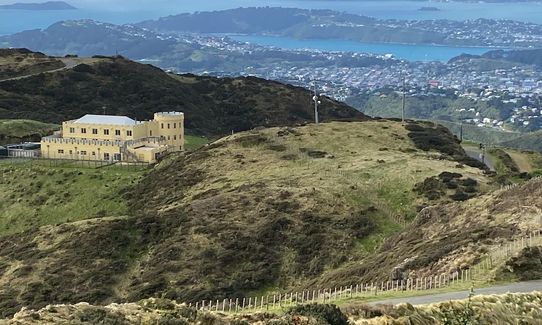
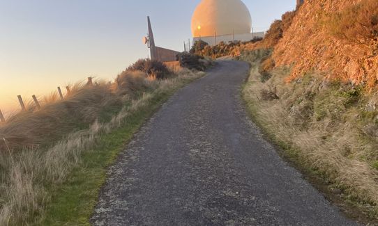
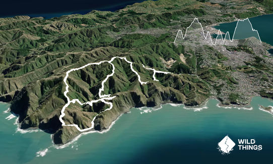
Head halfway up the tip track and cross spooky gully before heading up the red rocks track to the radar dome. From there follow the road for a couple of hundred metres before dropping down the Radome track and climbing the other side to rejoin the red rocks track.
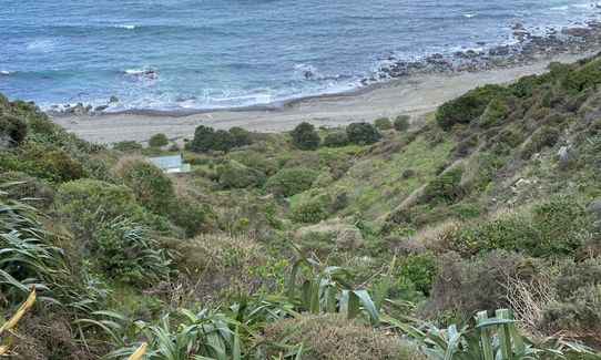
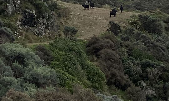
Follow this down to the coast before finding the bunker track behind the Bach to the west. Follow this trail until the next junction before heading down into the Waipapa loop, which is run anticlockwise.
After that, it's back up to the ridgeline and along to the radar dome and down the tip track to the finish.
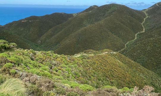
This trail includes the peaks Hawkins Hill and Te Kopahou.
Te Kopahou Visitor Centre and 44 Jefferson Street, Brooklyn.
5 km
12 minutes
Yes
No
Moderate.
Patchy.
Whistle, First aid kit, Extra food for emergencies, Cellphone, Map
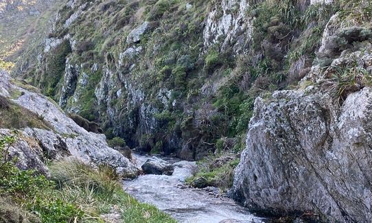
A couple of stream crossings, bring means to treat water if intending to rely on these.
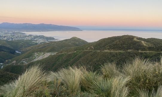
Can be very exposed on the ridge, and is often subject to the brunt of Wellington's wind.
Trail Legend
Login as a VIP to become a Trail Legend. Learn about Trail Legends.
Fastest Known Times (FKTs)
You and Swallow's loop
As a VIP member you can record private notes for this trail, see all of your times and more.
Already have an account? Login now
Tough loop in terms of steep climbs and descents. Mostly fourwheel drive tracks - so not very technical except for two sections...climb up from Red rocks (where you basically climb up a waterfall) and a short descent on the Waipapa loop. Both slowed me down a fair bit. Superb views...really enjoyable. Not sure of the origins of the Swallows loop of death, but nice to run in the footsteps of the good and the great of Wellington trail running!
August 15, 2024
Steep hills and amazing views. The track is very exposed so you need to make sure you are well prepared. Probably one too many hills loops for me. I would run it in the direction shown on the map as there is a very steep section coming out of red rocks beach that would be much easier going up than down!
March 18, 2024
These overlap with this trail to some degree. You may wish to combine them but please note that to qualify for FKTs on these runs you should record a separate activity for each.
Send to your phone
Scan the below QR code to open this trail on your phone.

Tip: position the QR code in your phone camera screen.


