Last Updated: 17th Feb 2025
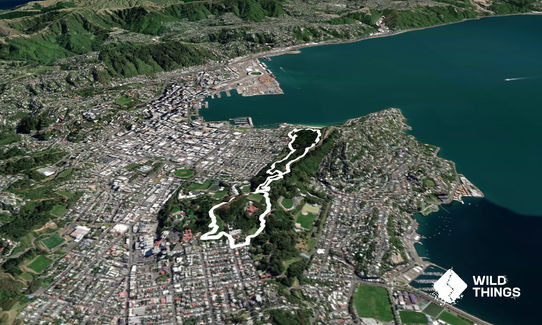
Matairangi Loop
Last Updated: 17th Feb 2025
Open
Grunt Factor: 7 ?
Gnarl Factor: 16 ?
5.4km
165m
160m
142m


Last Updated: 17th Feb 2025
Last Updated: 17th Feb 2025
Open
Grunt Factor: 7 ?
Gnarl Factor: 16 ?
5.4km
165m
160m
142m
Urban fringe
Loop
Very hilly
Dog Friendly
Native bush
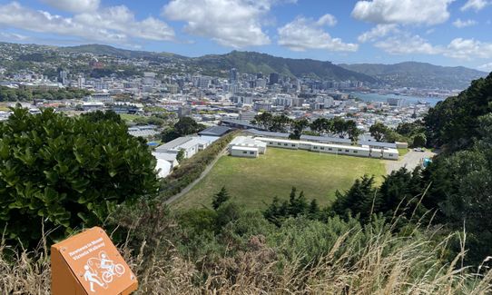
Open ridges/tops
Sealed Road
Easy Single Track
Moderate Single Track
Average Uphill Gradient: +6.00%
Average Downhill Gradient: -5.90%
VIP Feature: Send this route to your Garmin account so you can follow the course on your Garmin device.
Become a VIP Member to see the trailhead information.
0:50
Slow
40:00
Moderate
30
Fast
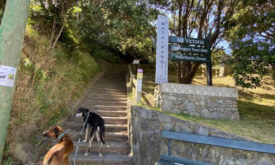
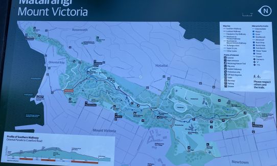
Facing the map at the Majoribanks entrance to Charles Plimmer, take the left-most path. At the first T junction, take another left. At the next T junction, take a right and start following the purple signposts for the Lookout Walkway.
At the top of the stairs the purple and pink signposts coincide. From here follow the pink (Southern Walkway) when the pink and purple diverge again once the hill levels out.
The Southern Walkway comes out and follows along beside Alexandra Road for a while. There are a few branches along the way, but keep following the pink Southern Walkway signs up until the point that it crosses Alexandra Road. Ignore the crossing and continue parallel to Alexandra Road and down some steps.
When you come out onto a clear hillside, continue straight across and find the small path in the treeline that will take you down onto Mein Street. Take a right onto Coromandel Street and continue until you see the Vice Regal Park Playground. Cut through here and continue following that path until you come to another T junction. Take the right and start following the orange signposts for the Newton to Mount Victoria Walkway.
At the next T junction following the orange signposts to the right, uphill. At the top of this hill you'll hit a playing field you will have crossed earlier while following the pink signposts. Take the left fork here and continue following the orange signposts. This will bring you out to another familiar point.
Keep left and take the first path on the left which is the yellow Hataitai to City Walkway.
There'll be several branches along this path, but keep following the yellow signposts until you hit the small field in Charles Plimmer Park. Cut across this to the Majoribanks entrance and you're done!
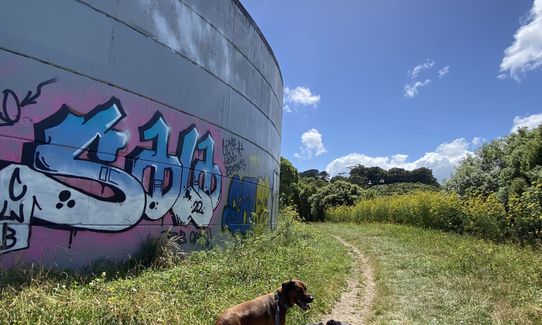
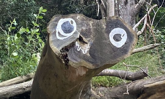
Can do a few quick detours to see Lord of the Rings filming locations. Areas of native bush regeneration.
Toilets are located on Lookout Road, Mount Victoria and at the Waitangi Park play area.
There's a small carpark at the top of Majoribanks St. There's another bigger carpark slightly further down the park at the Pirie St playground, that's a couple of minutes walk from the start. Public transport stops nearby. Hawker St and Brougham St stops are a couple of minutes walk from the start.
1 km
5 minutes
Yes
No
Moderate.
There are several branches along this route, but the majority of them are clearly signposted with the relevant colours.
Perfect throughout.
Short-sleeved thermal top, Windproof jacket, Beanie/thermal headwear, Whistle, First aid kit, Extra food for emergencies, Cellphone, Map
There's a water fountain at the Mt Victoria lookout that's further along Alexandra Road when you first hit it. The route doesn't go directly past it, but it's only a couple of minutes out of the way.
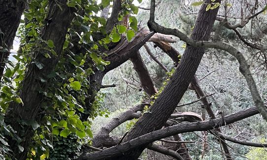
Some gnarly downhills after rain.
Do you have a suggestion on where to go afterwards for the best coffee / cake / breakfast / brunch / beer?
Trail Legend
Login as a VIP to become a Trail Legend. Learn about Trail Legends.
Fastest Known Times (FKTs)
You and Matairangi Loop
As a VIP member you can record private notes for this trail, see all of your times and more.
Already have an account? Login now
Great loop, started down by the Basin Reserve and detoured to Mt Vic lookout at the top which took it over 8.5km and 400 vert and a nice workout!
October 29
Short and sweet. Good parking at the start and a great example of Matairangi trails. Mostly beautiful single track...can be a bit slippery in the wet. I have completed both directions and prefer clockwise...!
August 13, 2024
EY
Fun way to end the day w the ever changing views around Mt Vic and a couple of steep bits to keep the body warm. ? Easy to follow and always enjoyable having the birds serenading.
September 8, 2022
Send to your phone
Scan the below QR code to open this trail on your phone.

Tip: position the QR code in your phone camera screen.
Plan smarter, stay motivated, track your progress, and unlock the full Wild Things experience — while saving along the way.