Last Updated: 12th Jun 2026
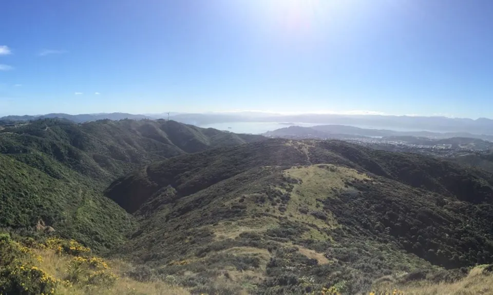
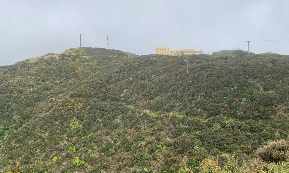
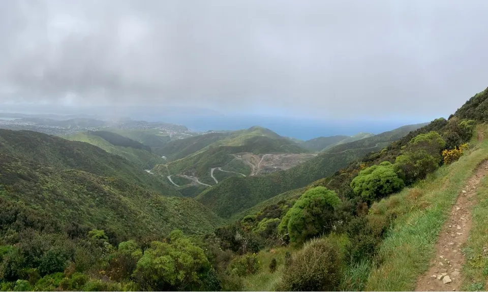
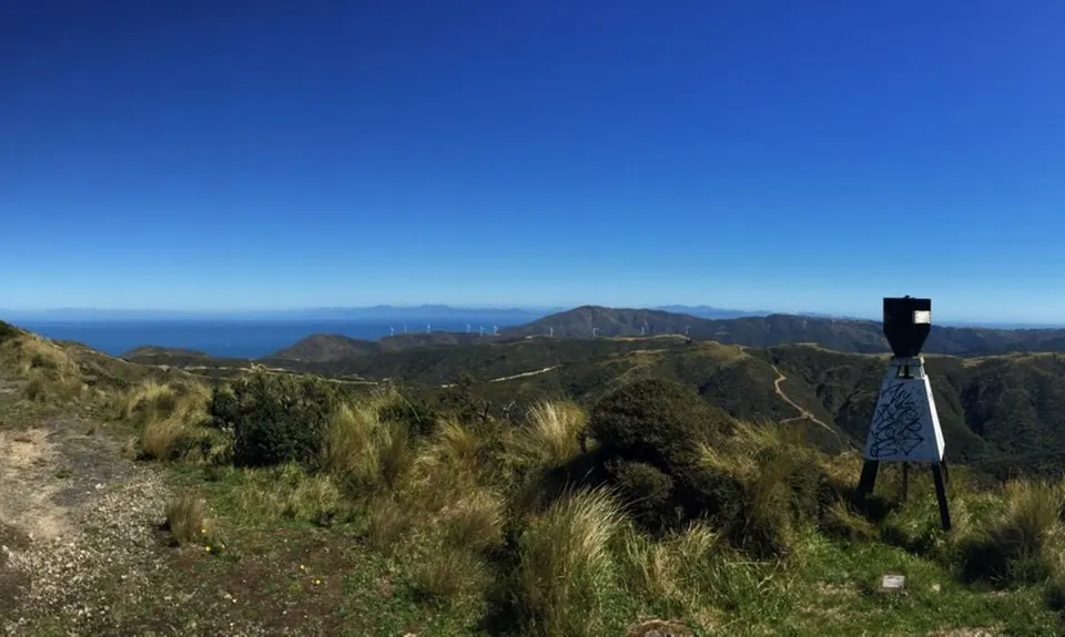
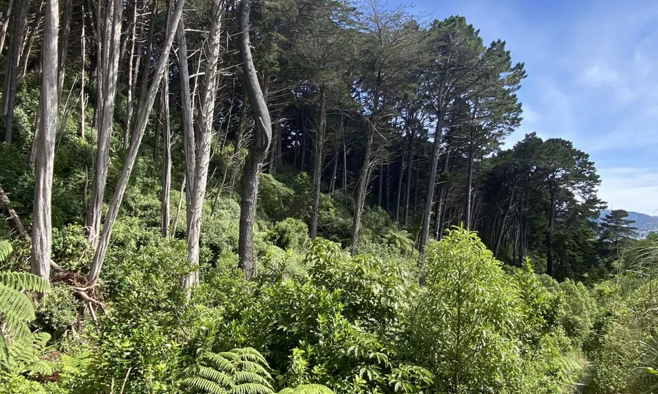
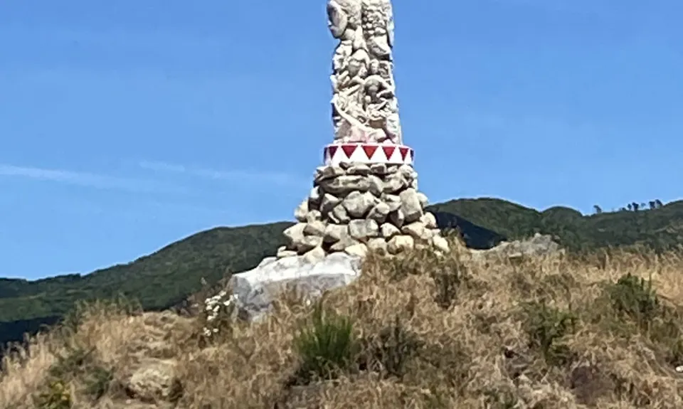
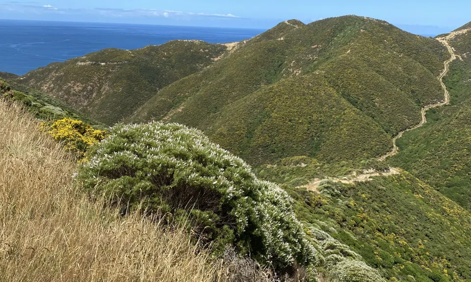
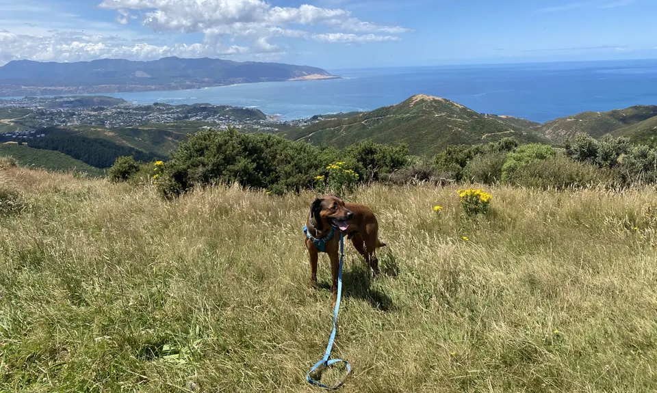
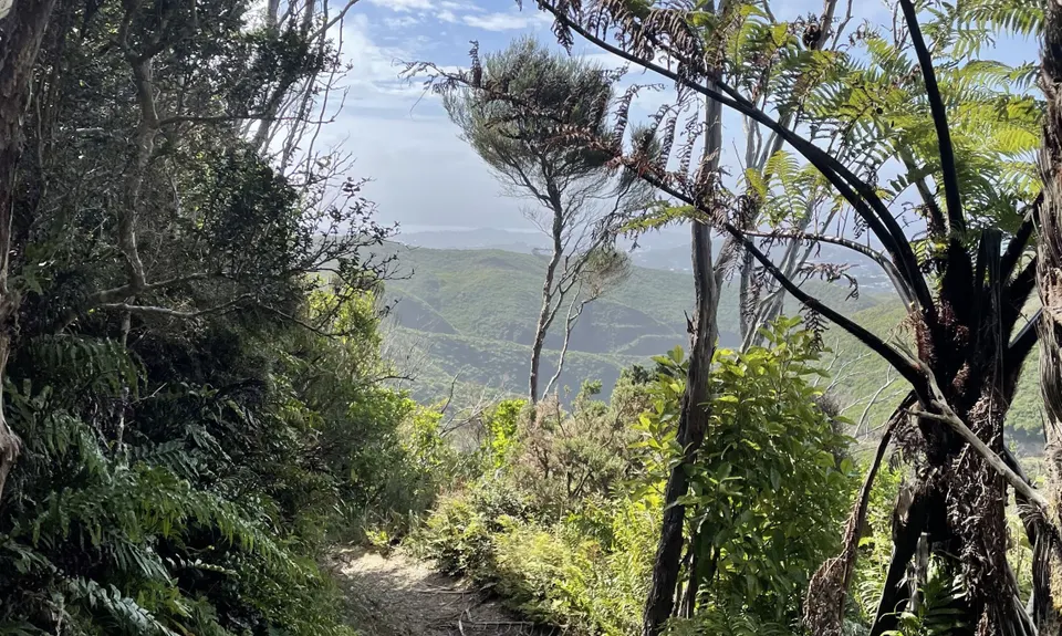
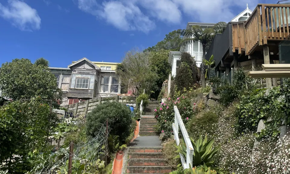
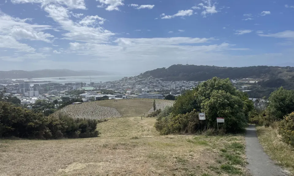
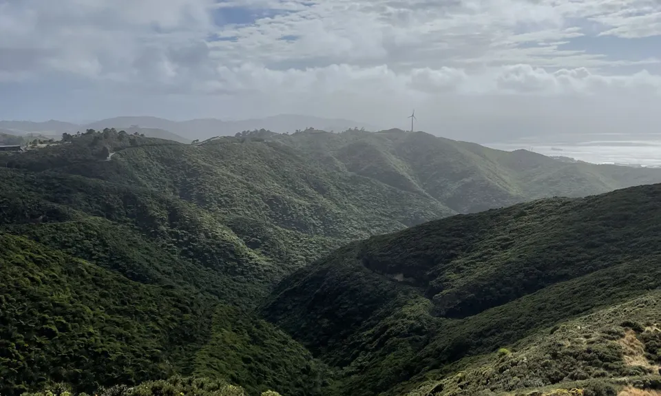
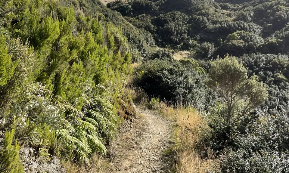
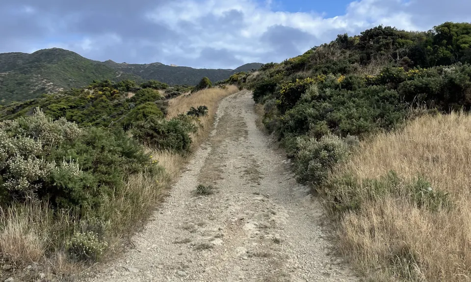
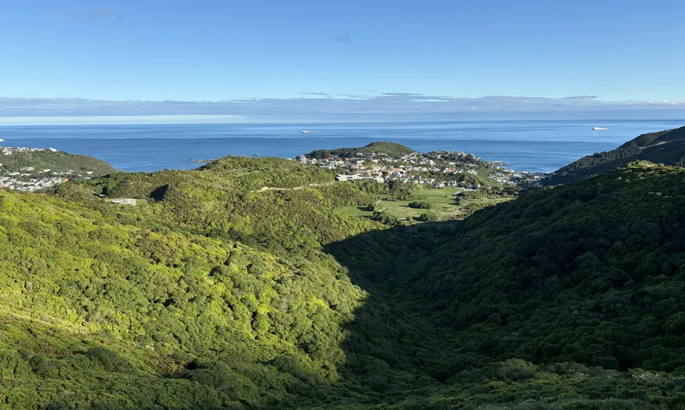
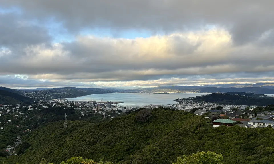
Aro Valley / Tip Track loop
Tip Track, City to Sea Walkway
Last Updated: 12th Jun 2026
Grunt Factor: 27 ?
Gnarl Factor: 20 ?
22.0km
955m
960m
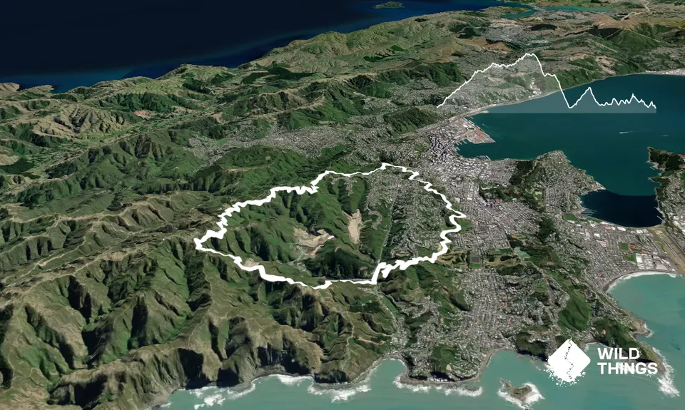
Trail Map
This Topo layer only covers NSW/ACT.
Switch to another map layer when viewing outside this area.
Switch to another map layer when viewing outside this area.