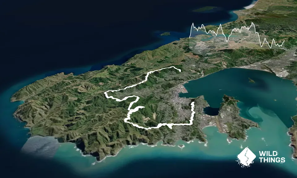
As described on the race website:
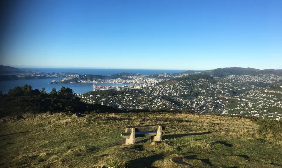
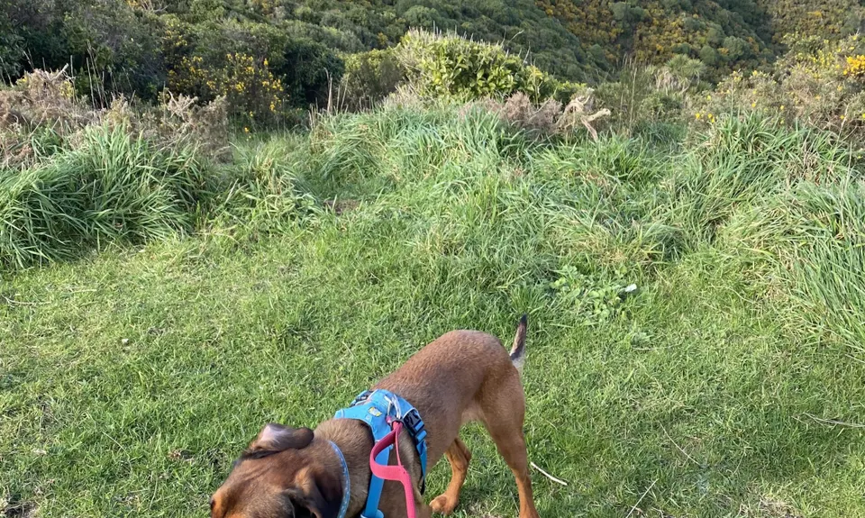
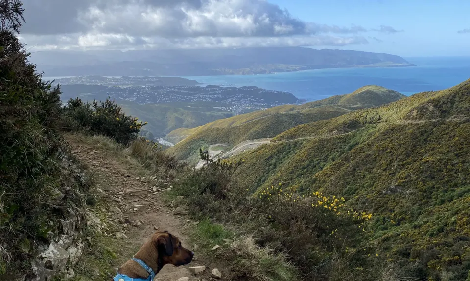
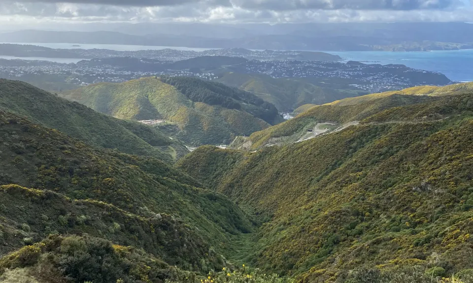
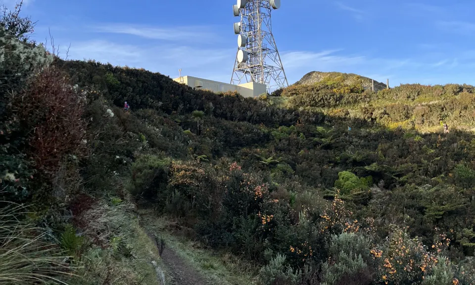
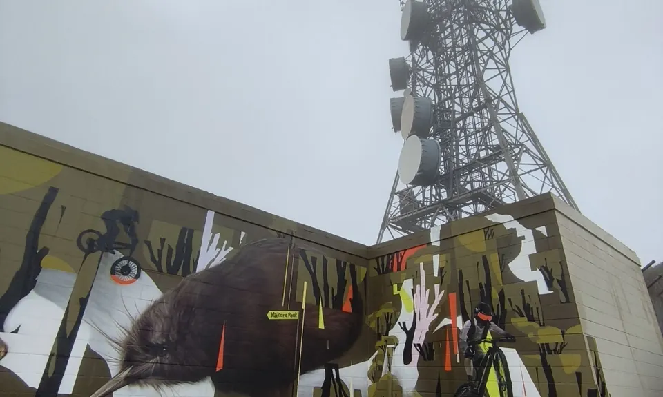
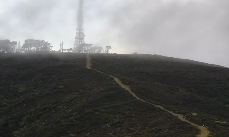
Head up to Mt Kaukau lookout. From the lookout, take the LEFT track which will take you along the SKYLINE track. You'll want to follow the yellow markers for 11-12 km until you reach Makara Road. There are also some signs which point towards Makara Hill Road, so follow these. Watch for traffic here as you cross the road, and head up the drive, through the barrier, and head on up the track on your RIGHT called VARLEYS in BLUE. Keep going up, and veer RIGHT until you hit the 4WD track. Turn LEFT, and follow this up, and it will take you to Makara peak lookout.
From here you want to keep going over and follow the 4WD track just over the ridge. carry on down the 4WD track veering to the RIGHT down 701 Snake Charmer, until you see a green sign that says 'Lazy Fern' - take this all the way down until you hit the MTB car park. Exiting the car park, hang RIGHT on South Karori road, and then LEFT onto Hazlewood Ave, and then RIGHT onto Fitzgerald Place. At the end of the street there is a trail (Salvation) taking you up through Wrights Hill reserve. Keep following this trail until you reach Wrights Hill Road. Cross directly over the road (watch for traffic here!) and follow the signs through to the Sanctuary Fence line.
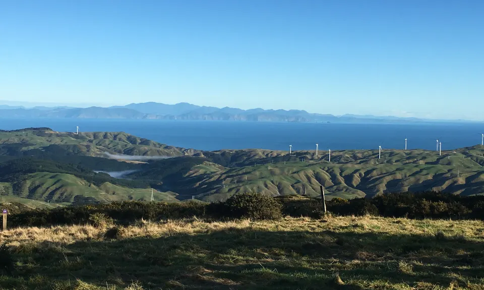
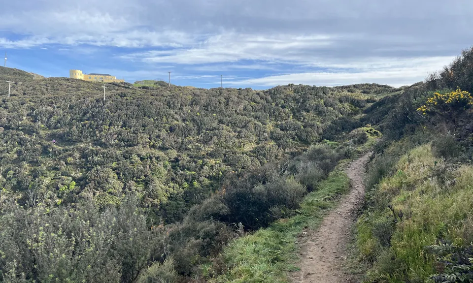
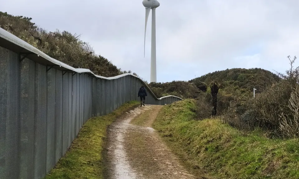
Once you get to the Sanctuary path, hang RIGHT and carry on around the trail until you get to the Wind Turbine. Head over the barrier, and past the Turbine, and you'll want to head SOUTH. You'll find a marked trail just over the road. Take this track, and continue following this all of the way down to the top of the Tip Track and then down to Happy Valley Road. Once on Happy Valley Road, head LEFT, and go past CarlucciLand on your LEFT. On your RIGHT you'll see a track, and a gate to Tawatawa reserve.
Go through here (close the gate after), and head on up the zig-zag trail until you reach the top. Now you want to follow the path down some stairs, past a water tank on your RIGHT, and carry on until you reach a few track options. Take the path HARD LEFT (past the bathtub). When you hit the gate a few meters past here, take another HARD LEFT.
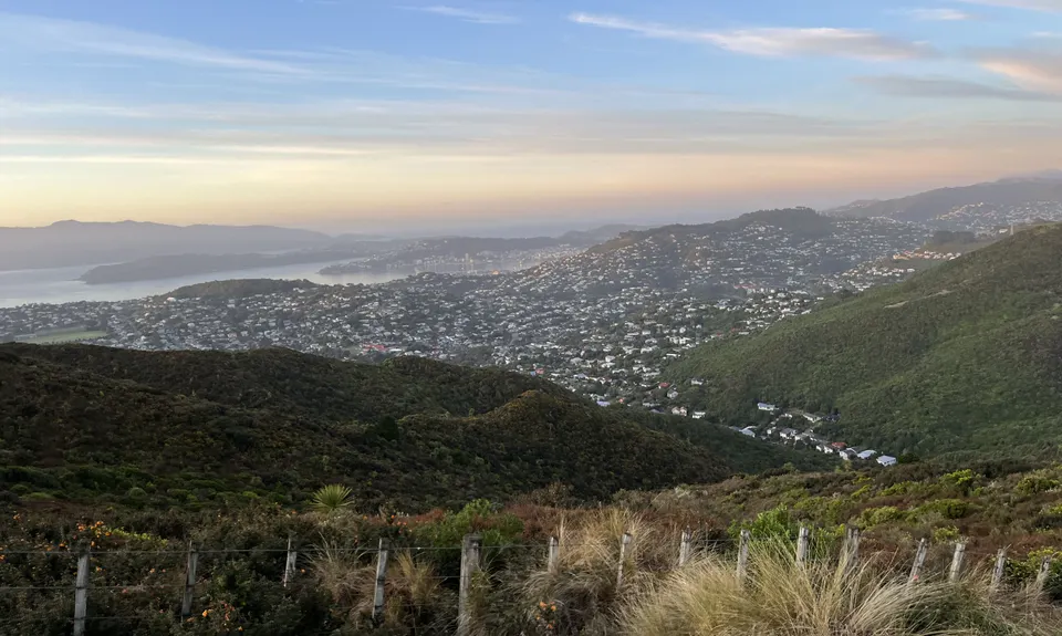
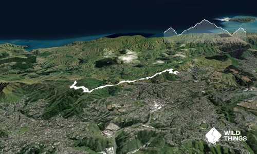
Keep following this track down and eventually you will come out at the Golf Course. Stick to the RIGHT around here, and you can follow down to Adelaide road via a Soccer field. Take care crossing Adelaide as it's a busy one. Go up the side of the BMX track to the Scout den, and head around the LEFT side. You will see a 4WD track going up. This is quite a grunty climb. Follow it sticking to the RIGHT, and you will come to Mt Albert Road. Follow this up and around the corner before crossing, and heading through the gate, and up to the Southern walkway.You now want to follow the Southern Walkway until you reach Melrose Park off to your RIGHT. Head diagonally across the park, and follow the track to the LEFT, just past the changing rooms. This will take you down the zoo fence line until you hit a small car park near the start of the Zoo.
Look to your RIGHT, and you'll see a small track taking you up to Manchester Street. Head over the road, and you will see where the track continues. This is a blind corner so take extra care when crossing. Take this, and head LEFT. You will head up and over this small park, and keep to the RIGHT of the Bowls club (along the tree line). Keep heading up the gravel road until you reach the water tank down to your LEFT. Follow the path down until you hit Coromandel Street. Take the first RIGHT onto Colville, then LEFT down Paeroa, and follow the trail down to Crawford.
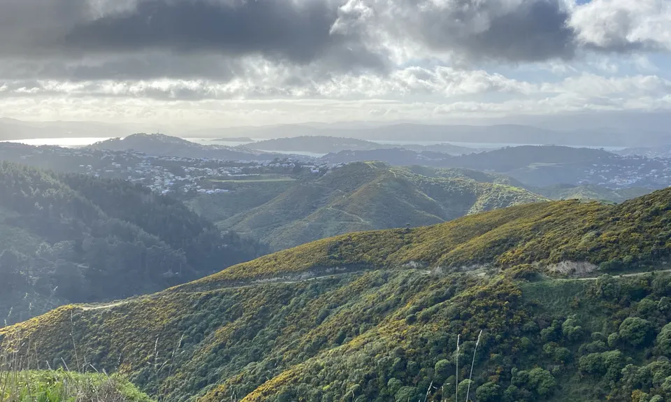
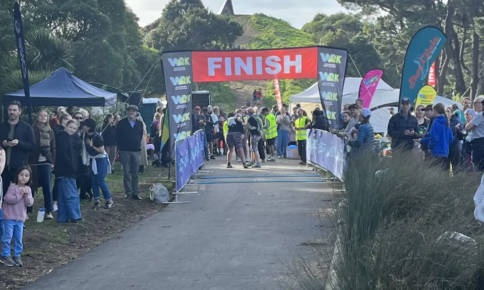
Head over the road (watch for cars), and continue following the Southern Walkway trail, which is to the East side of Alexandra road, or the RIGHT side as you're running up towards Mt Vic. Keep on following the trail up, and when crossing Alexandra road take care, as cars fly along here at times. Finish is the very top, at the Lookout so touch the stone to say you've done it! Admire the view because you'll definitely deserve it, and the great thing is, you can see in the distance where you started!