Last Updated: 20th May 2024
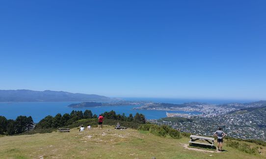
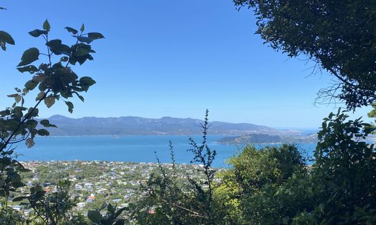
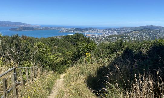
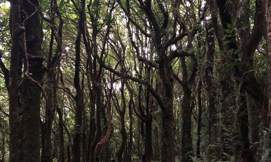
Mount Kaukau Loop
Last Updated: 20th May 2024
Open
Grunt Factor: 8 ?
Gnarl Factor: 38 ?
4.2km
350m
350m
429m

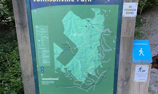
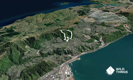
Trail Map
This Topo layer only covers NSW/ACT.
Switch to another map layer when viewing outside this area.
Switch to another map layer when viewing outside this area.


