Last Updated: 8th Nov 2025
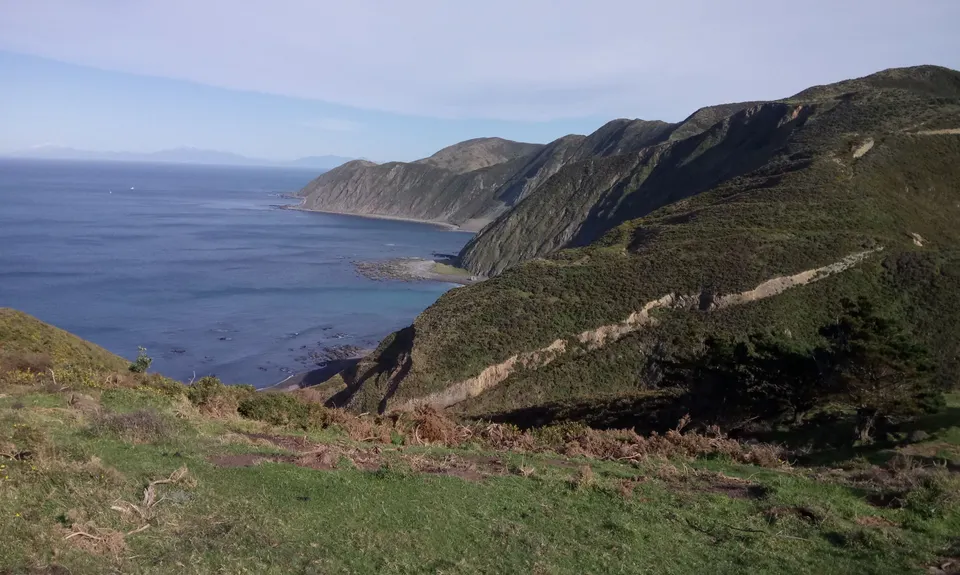
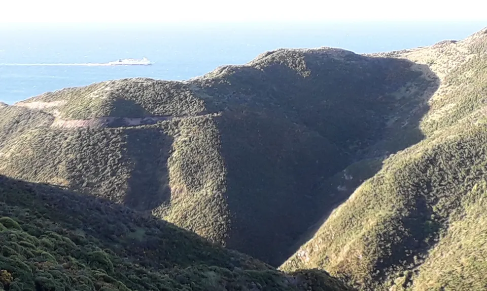
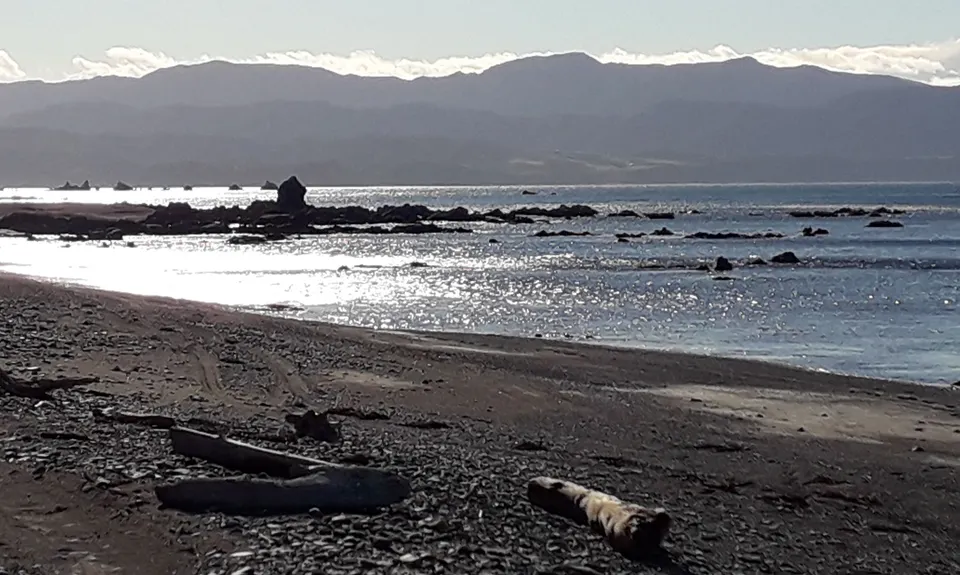
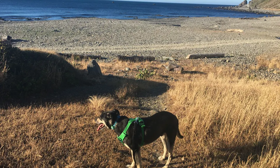
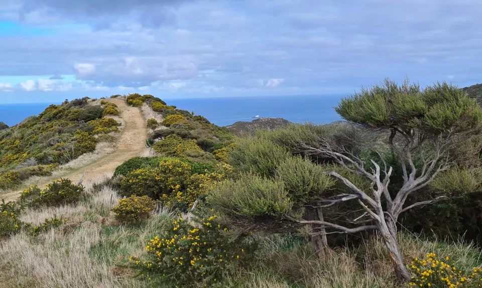
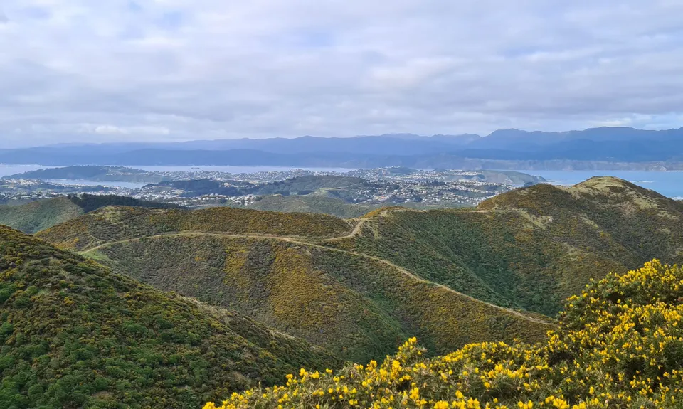
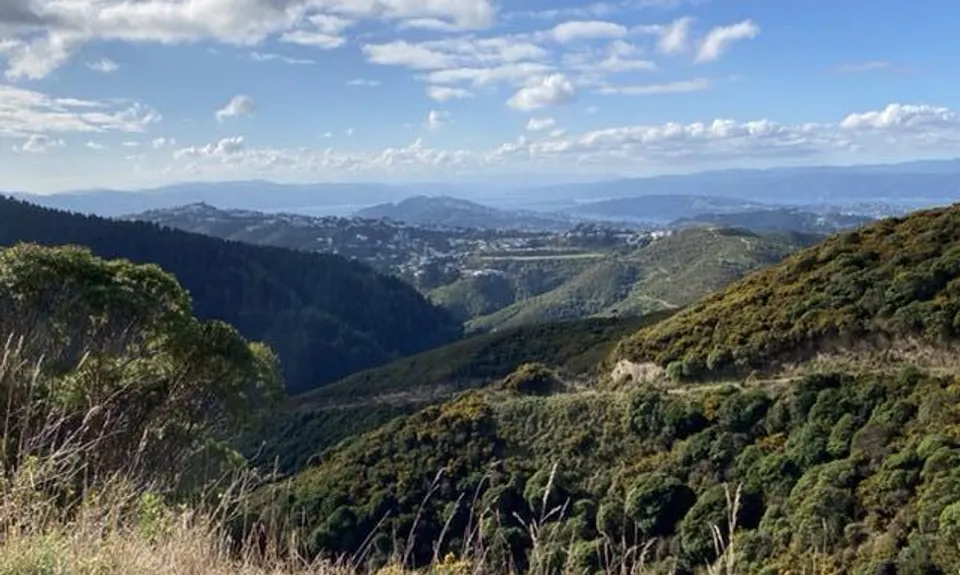
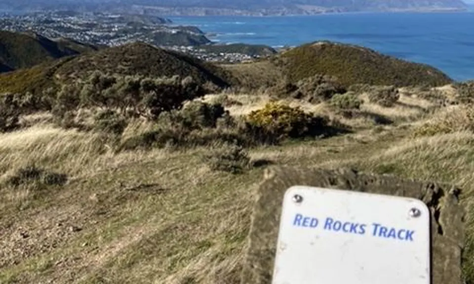
Red Rocks Loop
Last Updated: 8th Nov 2025
Grunt Factor: 21 ?
Gnarl Factor: 58 ?
13.3km
460m
460m
399m
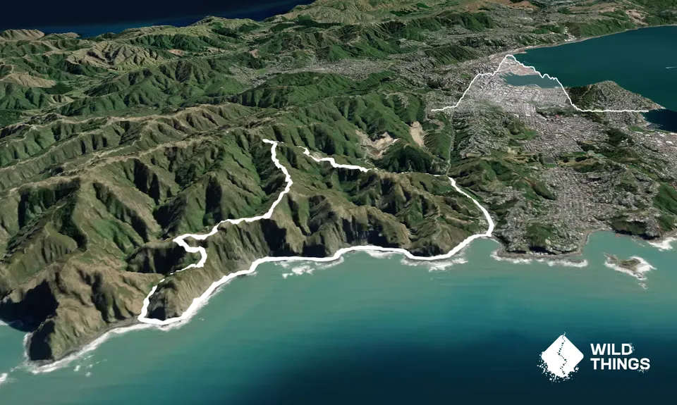
Trail Map
This Topo layer only covers NSW/ACT.
Switch to another map layer when viewing outside this area.
Switch to another map layer when viewing outside this area.