Last Updated: 20th May 2024
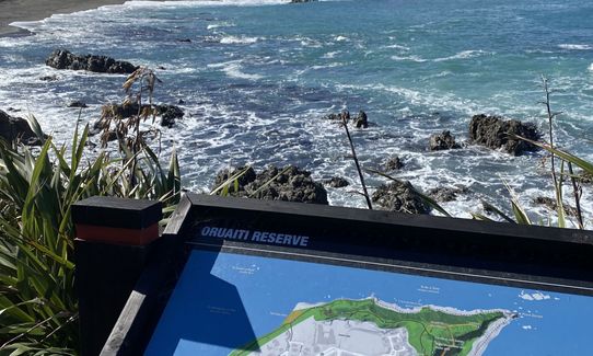
Oruaiti Reserve
Submitted by Richele McKenzie
Last Updated: 20th May 2024
Grunt Factor: 7 ?
Gnarl Factor: 55 ?
5.0km
110m
110m
57m

Last Updated: 20th May 2024
Submitted by Richele McKenzie
Last Updated: 20th May 2024
Grunt Factor: 7 ?
Gnarl Factor: 55 ?
5.0km
110m
110m
57m
Urban
Out and Back
Totally/mostly flat
Dog Friendly
Beach
Coastal
Open ridges/tops
Sealed Road
Easy Single Track
Untracked / Route only
Average Uphill Gradient: +4.0%
Average Downhill Gradient: -9.0%
VIP Feature: Send this route to your Garmin account so you can follow the course on your Garmin device.
Login as a VIP to see the trailhead information.
0:45
Slow
0:30
Moderate
0:20
Fast
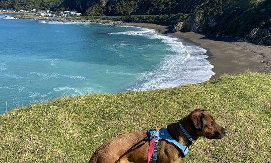
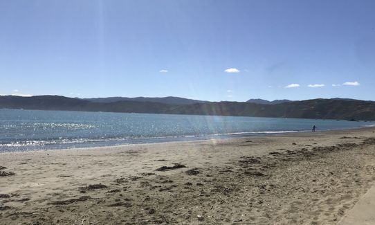
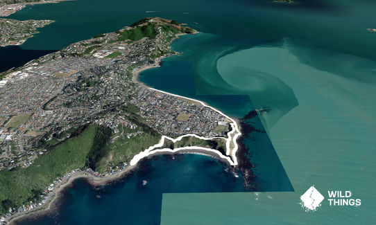
Starting at the Seatoun Wharf run east along the beach, passing the Seatoun Wahine Memorial Garden / Churchill Park on your right.
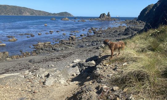
You will see a trail just after the Hector St carpark. Follow this trail around the coast until it becomes beach. Continue around Point Dorset. Take care if the tide is high, particularly at the point. You will come out on Breaker Bay Beach, where the sand gets a lot harder to run on.
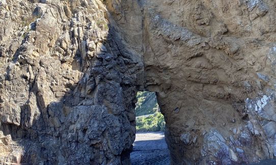
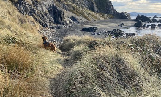
Continue around to the carpark then turn right and run along Breaker Bay Road to the Pass of Branda. Cross the road here and you will see an information board and steep steps. Continue up the steps and it evens out to an easy track, Te Ara O Kupe (here you may like to take a diversion to the right and explore the military installments).
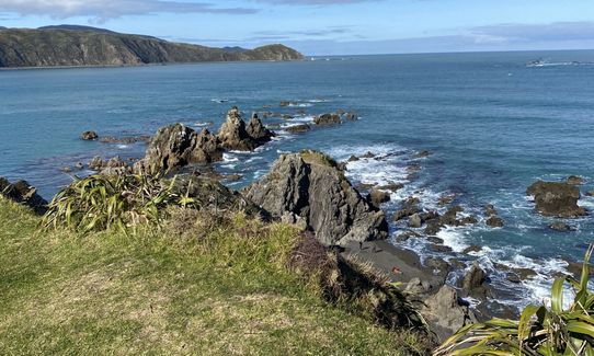
The main trail comes to a major intersection where you turn right, run through the Oruaiti Pa site and follow the signs to the Lookout. Stop at the lookout to admire the view, then turn around and return to the intersection.
This time follow the trail marked "To Te Aroaro O Kupe Steeple Rock Ludlam St Hector St". This follows a small ridgeline and drops you back on the coastal trail where you can return to the Wharf.
Oruaiti Reserve: The top of the ridge was the site of Oruaiti Pā. Fort Dorset Military structures. Excellent views of the harbour from the ridge include: Barrett Reef, which the interisland ferry Wahine struck in 1968 Steeple Rock (Te Aroaro-o-Kupe), where the Wahine finally capsized. Te Aroaro-o-Kupe (‘the presence of Kupe’) is named after the legendary explorer Kupe, who visited the harbour. Find out more here.
Churchill Park Play Area.
Parking available along the road or down further at the reserve. Bus no 2.
10 km
15 minutes
Yes
No
Easy.
The area on top of the reserve is small so if you take a wrong turn you will find your way again easily.
Generally good.
Short-sleeved thermal top, Windproof jacket, Whistle, First aid kit, Extra food for emergencies, Cellphone, Map
There are public toilets at Churchill Park but unsure whether there is a water fountain.
Exposed to winds any time of the year. Avoid during storms.
Take care on top of the Reserve as there are steep drops.
Exposed to strong winds
Take care along the coast when the tide / swells are high. If in doubt take the higher route there and back.
Scorch O Rama
Scorching Bay
https://www.scorchorama.co.nz/
Lovely beach, nice coffee.
Gypsy Kitchen
4 Glamis Ave, Strathmore Park
https://www.facebook.com/Gipsy-Kitchen-166251323428395/
Great coffee and food.
Trail Legend
Login as a VIP to become a Trail Legend. Learn about Trail Legends.
Fastest Known Times (FKTs)
You and Oruaiti Reserve
As a VIP member you can record private notes for this trail, see all of your times and more.
Already have an account? Login now
Always tough running on thick sand but can’t beat Seatoun on a glorious summers day!
January 31, 2021
Send to your phone
Scan the below QR code to open this trail on your phone.

Tip: position the QR code in your phone camera screen.


