Last Updated: 18th Oct 2025
Linking the Reserves
Last Updated: 18th Oct 2025
Open
Grunt Factor: 19 ?
Gnarl Factor: 33 ?
14.3km
610m
610m
222m

Last Updated: 18th Oct 2025
Last Updated: 18th Oct 2025
Open
Grunt Factor: 19 ?
Gnarl Factor: 33 ?
14.3km
610m
610m
222m
Urban
Loop
Undulating, small hills only
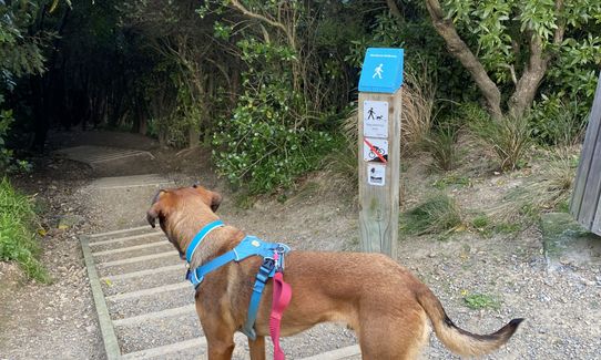
Dog Friendly
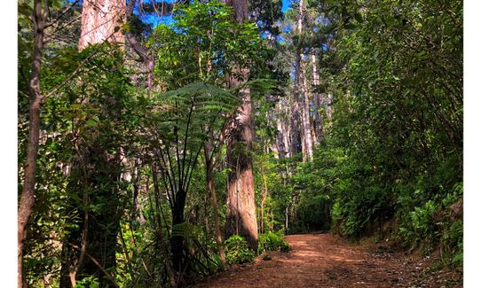
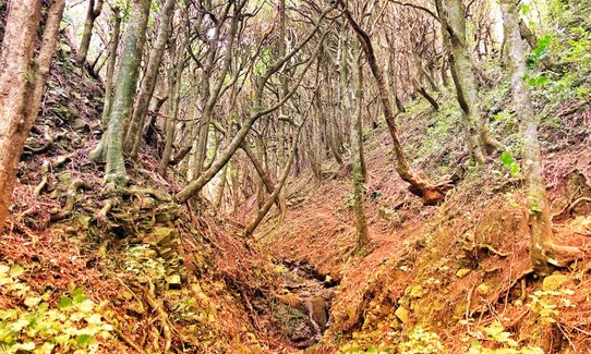
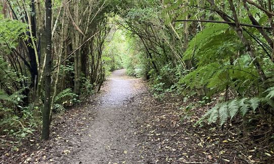
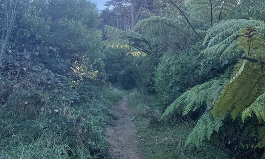
Native bush
Plantation/exotic forest
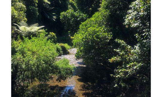
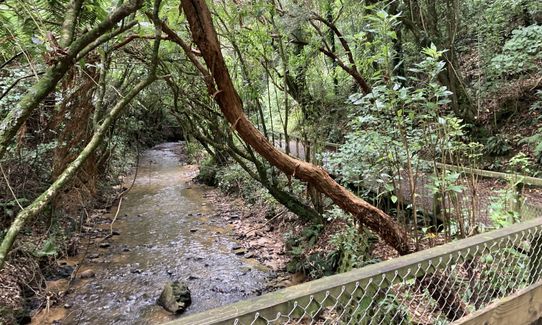
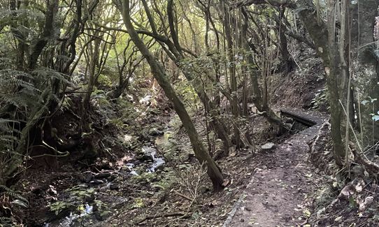
Riverside
Open farmlands
Open ridges/tops
Sealed Road
Easy Single Track
Moderate Single Track
Untracked / Route only
Average Uphill Gradient: +11.70%
Average Downhill Gradient: -9.90%
VIP Feature: Send this route to your Garmin account so you can follow the course on your Garmin device.
Become a VIP Member to see the trailhead information.
2:15
Slow
1:40
Moderate
1:10
Fast
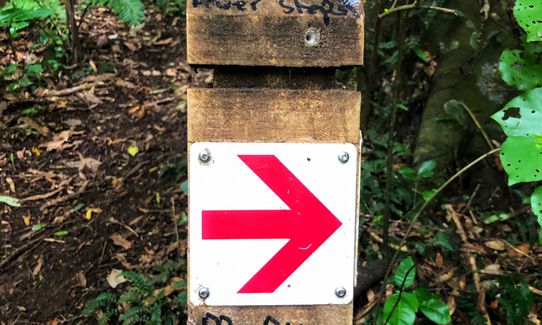
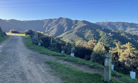
From the sign head up the path for c.400m then join the Northern Walkway Track (main trail along this side of the hill). Follow this around the hill for approx 1.6k until you get to a post pointing to "Te Ahumairangi Hill Lookout Ridgeline Track". Follow this track onto Paehuia Track, then turn onto Stellin Track, heading towards Stellin Memorial Park (and lookout).
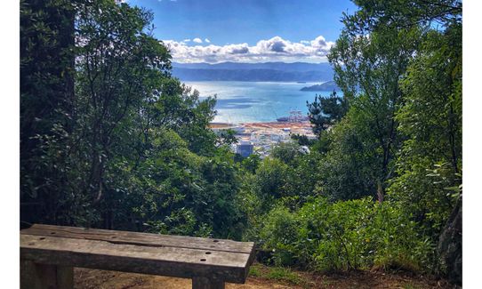
When you get to the sign for the lookout, instead of heading up the short set of stairs, head left onto a small patch of grass (nice views from here!) and down to Puketiro Ave. Turn left onto Orangi Kaupapa Road, right onto Pembroke then left onto Albemarle. Right next to the kindy there is a sign for Project Kaiwharawhara. Head down the wooden stairs and follow a small bush track down the creek and you will pop out next to Cardinal McKeefry School.
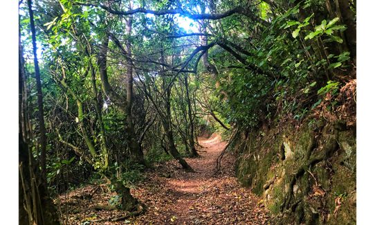
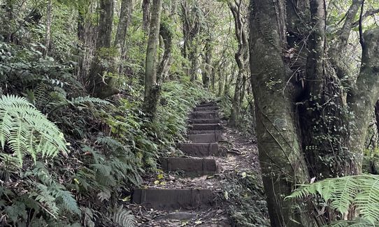
Cross the road and head down onto Ian Galloway Park running towards and then along the fenceline. Head right, towards the Club Rooms, then right again onto a small track "to Otari Wilton's Bush". Ignore the first track off to the left, and continue on down, following the stream until you get to the Picnic area / noticeboard / toilet. Take a right turn onto the Circular Walk track up the steep zigzag path, head around the gardens, past the grassy rectangle, across the bridge to the Information Centre.
Take a breather to read more info about Otari (there's a drink fountain plus another toilet here), then head down past the Alpine Garden and keep following the signs for Circular Walk. Enjoy the sweeping downhill then turn left, cross the bridge and look for the sign for Red Trail. Follow the Red Trail up to John Witton Drive (watch for the small sign that will say " Red Trail exit Chartwell").
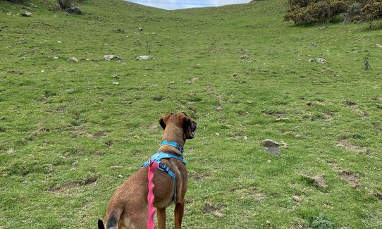
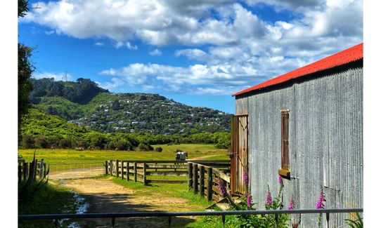
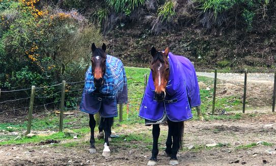
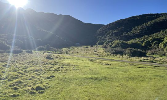
Turn left out of John Witton onto Chartwell Drive to Chartwell Reserve. Run down here, past the horses, and just past the stables you will see a small track entrance on the right. This is narrow to begin with then it becomes a wide open (rabbit filled) grassy hill.
At the top, cross the 4wd track and head down Silversky towards Silverstream Road and Huntleigh Park. Follow Silverstream Road to the roundabout, cross the road and head left towards the entrance for Trellisick Park.
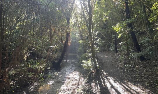
Follow the Northern Walkway again, looking out for the small signs that will lead you around the hilly section of the park. When you reach an intersection of many tracks head left along Forest Remnant Track (the one marked "please proceed with caution"), winding around the hill and down to the main Ngaio Gorge Track, then cross the new bridge and wind your way up to Oban Street. From the road it's 1km back to the start of the trail, via Sefton Street.
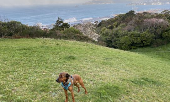
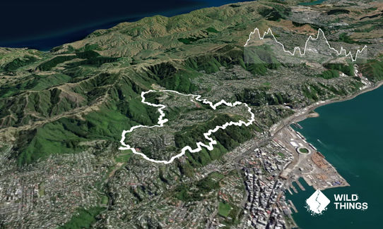
An interesting loop linking Te Ahumairangi Hill, Otari-Wilton's Bush and Trelissick Park with plenty of views of Wellington along the way.
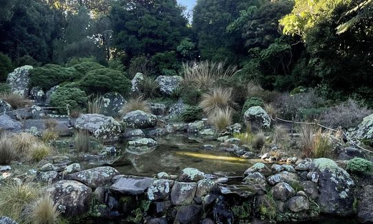
Otari is the only public botanic garden in New Zealand dedicated solely to native plants. Trelissick Park is also ecologically important and contains remnants of original forest. The park was once a route for Maori and early Europeans travelling from the harbour to Porirua.
Toilets are located at Otari Bush, one at the Troup Picnic Lawn, and one in the Visitor's Centre.
Parking is available along the road. Busses - number 14 to Wadestown Road Train - stop at Crofton Downs and join the trail at that point.
2 km
4 minutes
Yes
No
Moderate.
Generally good.
Windproof jacket, First aid kit, Extra food for emergencies, Cellphone, Map
Drinking fountains are located at the Otari Information Centre and the Huntleigh Park Community Water Station.
The steeper bush tracks can get very slippery after rain.
The horses are friendly but keep dogs on lead. There are occasionally cattle in the area between the horses and Silversky.
Do you have a suggestion on where to go afterwards for the best coffee / cake / breakfast / brunch / beer?
Trail Legend
Login as a VIP to become a Trail Legend. Learn about Trail Legends.
Fastest Known Times (FKTs)
You and Linking the Reserves
As a VIP member you can record private notes for this trail, see all of your times and more.
Already have an account? Login now
I could never have linked these all up on my own! Big ups on the trail creation, took me places I have not yet been. Was a great adventure but definitely a few wrong turns and the instructions are key. Looking forward to running it again without having to check my phone quite so often!
February 24, 2024
What a great loop. Defo take the trail notes and a GPX as there's a few inevitable wrong turns along the ways. Really enjoyed linking up previous runs here
November 1, 2023
Really lovely trail, taking in some great tracks. Nice mix of the terrain, and good to have options for toilets and water!
September 2, 2023
These overlap with this trail to some degree. You may wish to combine them but please note that to qualify for FKTs on these runs you should record a separate activity for each.
Send to your phone
Scan the below QR code to open this trail on your phone.

Tip: position the QR code in your phone camera screen.


