Last Updated: 2nd Mar 2024
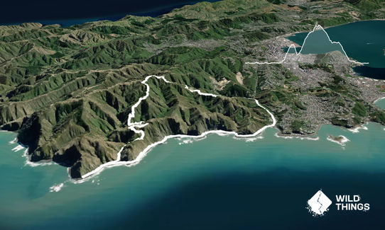
Red-Rocks, Hawkins Hill, Tip-Track Loop
Last Updated: 2nd Mar 2024
Open
Grunt Factor: 20 ?
Gnarl Factor: 20 ?
16.0km
765m
770m
495m

Last Updated: 2nd Mar 2024
Last Updated: 2nd Mar 2024
Open
Grunt Factor: 20 ?
Gnarl Factor: 20 ?
16.0km
765m
770m
495m
Urban fringe
Loop
Undulating, some big hills
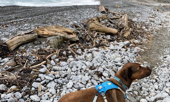
Dog Friendly
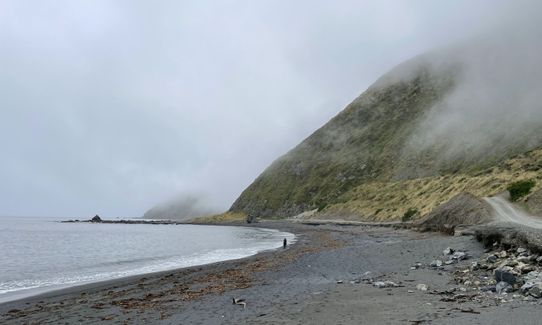
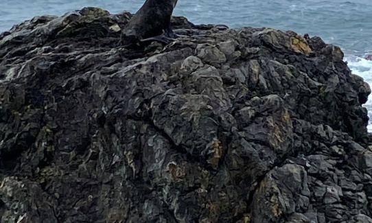
Coastal
Open ridges/tops
Sealed Road
Farm Road / 4WD Track
Moderate Single Track
Average Uphill Gradient: +9.4%
Average Downhill Gradient: -9.4%
Login as a VIP to see the trailhead information.
4:00
Slow
2:20
Moderate
1:20
Fast
You can do the loop in either direction.
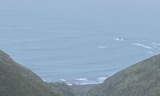
Directions for Clockwise: Start at Red Rocks car park: the gates at the start of Red Rocks coastal walk. Proceed along Red Rocks coastal walkway to Hell's Gate, approx 3.7km, to the turnaround point - check out the view through the rocks here. Run back approx. 500m to the bridge and take the left track following Waipapa Stream. There will be two small river crossings before a climb up to the ridgeline. Follow this until you reach a fork left down to Radome Track. Another small river crossing and then a long almost 3km steep ascent all the way to Hawkins Hill past the radar station. Then take a sharp right onto the Tip Track. Follow the Tip Track down, steep in places, to Happy Valley Road. Take a right and run on the tarmac down happy valley road and right onto Owhiro bay road back to your starting point.
This trail includes the peak Hawkins Hill.
Great views on a good day.
Ample parking.
0 km
0 minutes
Yes
No
Easy.
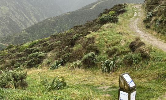
Sign posts present with directions.
Generally good.
Seam-sealed waterproof jacket, Whistle, First aid kit, Extra food for emergencies, Cellphone, Map
Only at the start/finish.
Dress for the weather and be aware Wellington can be changeable. It can be very windy on the ridge-line.
River crossings may be high after lots of rain.
Coffee cart at the Red rocks parking area
Trail Legend
Fastest Known Times (FKTs)
You and Red-Rocks, Hawkins Hill, Tip-Track Loop
As a VIP member you can record private notes for this trail, see all of your times and more.
Already have an account? Login now
These overlap with this trail to some degree. You may wish to combine them but please note that to qualify for FKTs on these runs you should record a separate activity for each.
The Wild Things Trail Directory is proudly supported by 
Send to your phone
Scan the below QR code to open this trail on your phone.

Tip: position the QR code in your phone camera screen.


