Last Updated: 20th May 2024
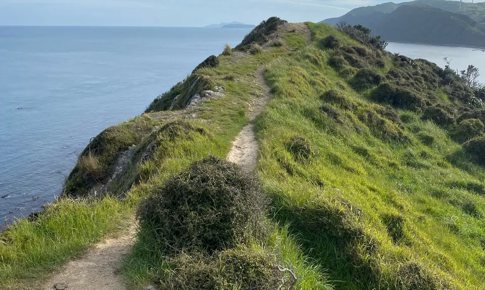
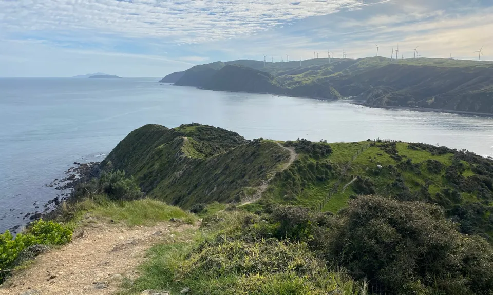
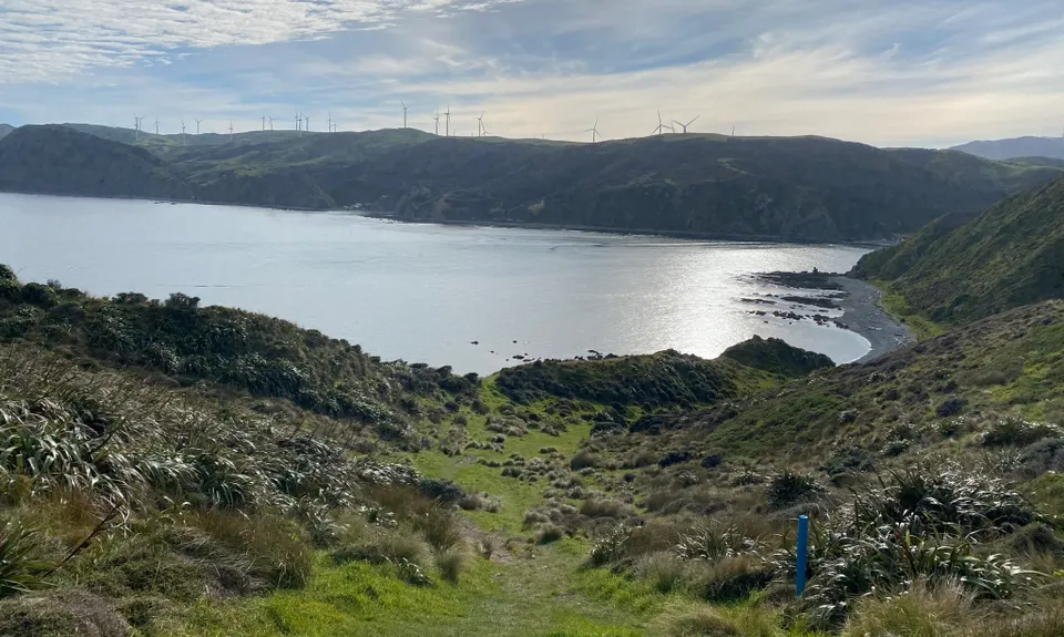
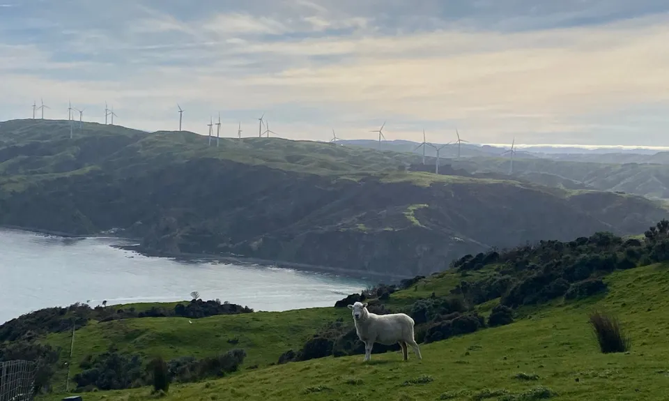
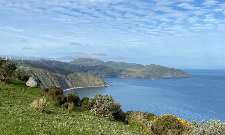
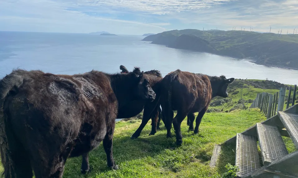
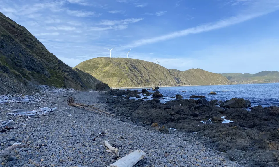
Makara Walkway
Last Updated: 20th May 2024
Open
Grunt Factor: 12 ?
Gnarl Factor: 45 ?
7.0km
280m
290m
186m
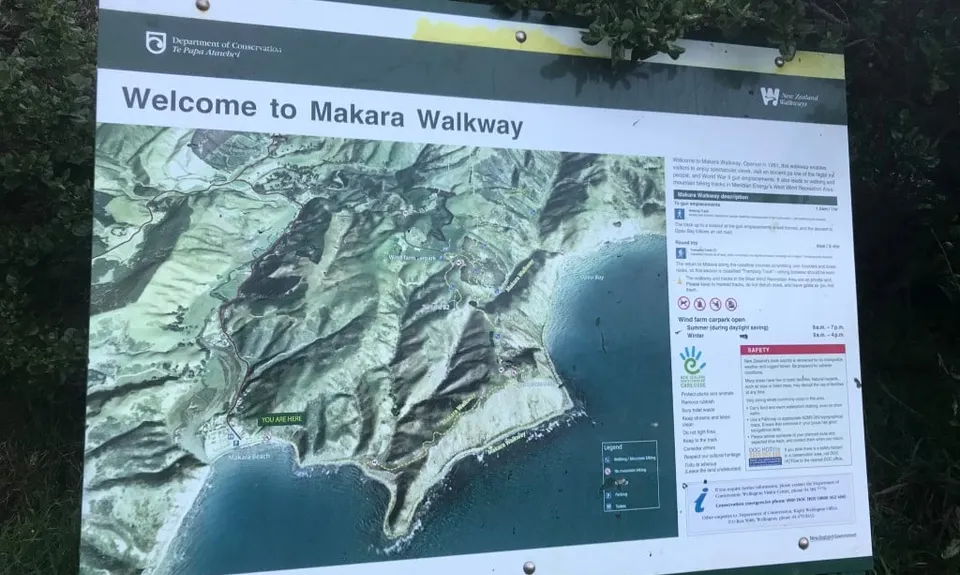
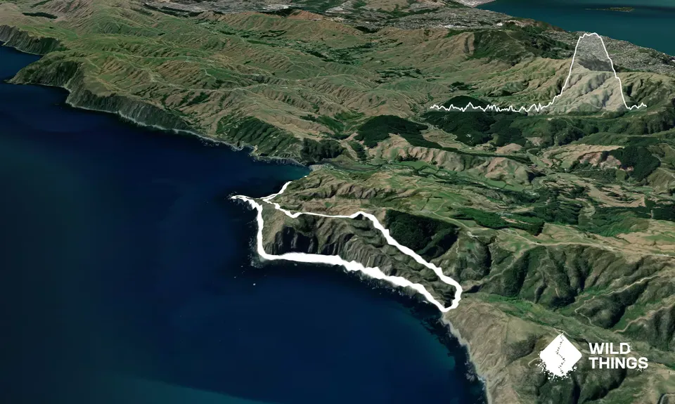
Trail Map
This Topo layer only covers NSW/ACT.
Switch to another map layer when viewing outside this area.
Switch to another map layer when viewing outside this area.


