Last Updated: 21st Sep 2023
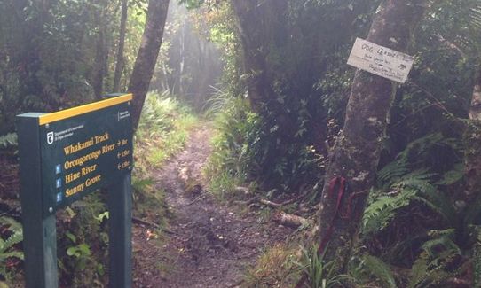
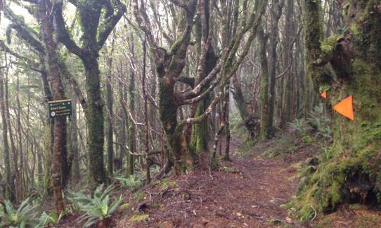
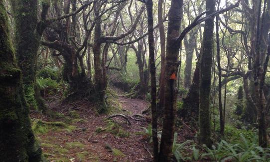
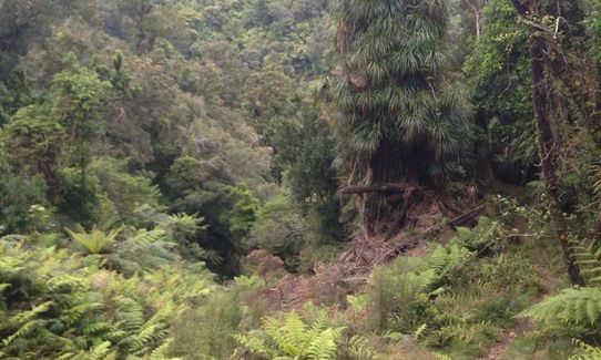
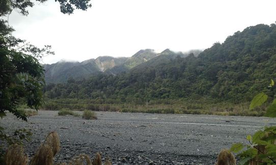
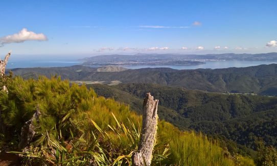
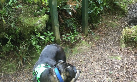
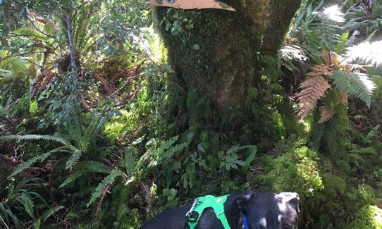
Where in the Whakanui?
Last Updated: 21st Sep 2023
Open
Grunt Factor: 28 ?
Gnarl Factor: 48 ?
17.2km
765m
805m
698m
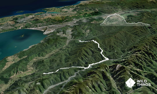
Trail Map
This Topo layer only covers NSW/ACT.
Switch to another map layer when viewing outside this area.
Switch to another map layer when viewing outside this area.


