Last Updated: 24th Sep 2023
Belmont Regional Park - Oakleigh to Hill
Last Updated: 24th Sep 2023
Grunt Factor: 31 ?
Gnarl Factor: 26 ?
27.1km
760m
760m
446m
.jpg?tr=w-542,h-325)
.jpg?tr=w-542,h-325)
.jpg?tr=w-542,h-325)
.jpg?tr=w-542,h-325)
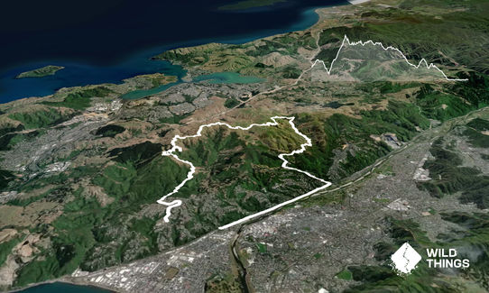
Trail Map
This Topo layer only covers NSW/ACT.
Switch to another map layer when viewing outside this area.
Switch to another map layer when viewing outside this area.


