Last Updated: 4th Dec 2023
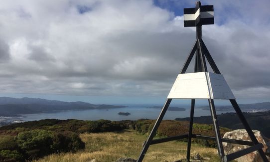
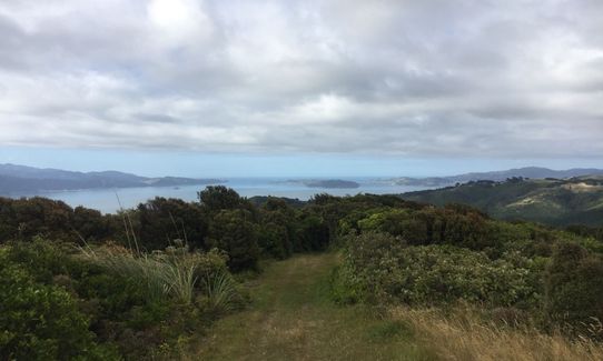
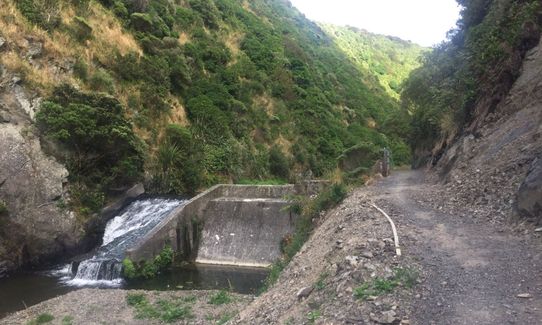
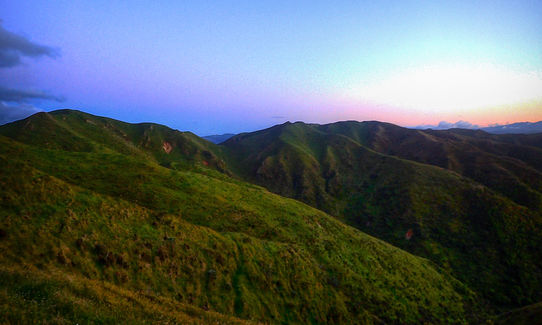
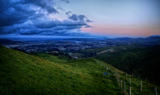
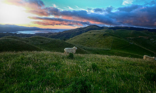
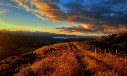
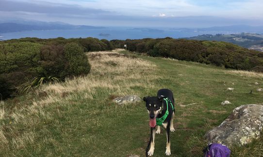
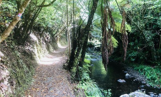
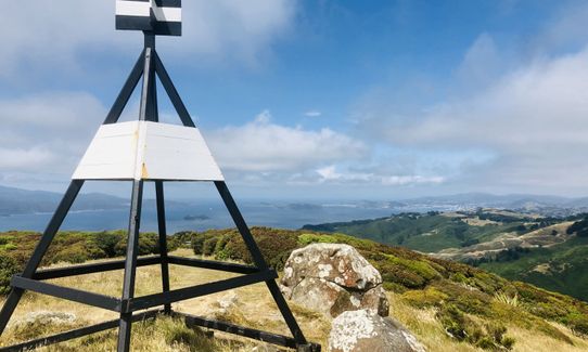
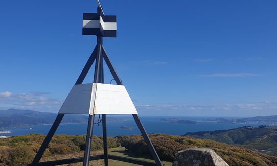
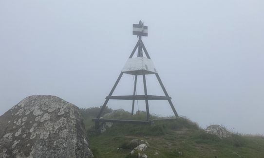
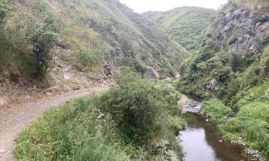
Belmont Trig
Last Updated: 4th Dec 2023
Open
Grunt Factor: 16 ?
Gnarl Factor: 25 ?
12.0km
520m
520m
449m


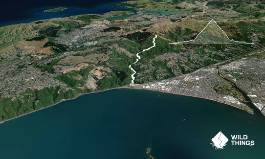
Trail Map
This Topo layer only covers NSW/ACT.
Switch to another map layer when viewing outside this area.
Switch to another map layer when viewing outside this area.


