Last Updated: 26th Jun 2026
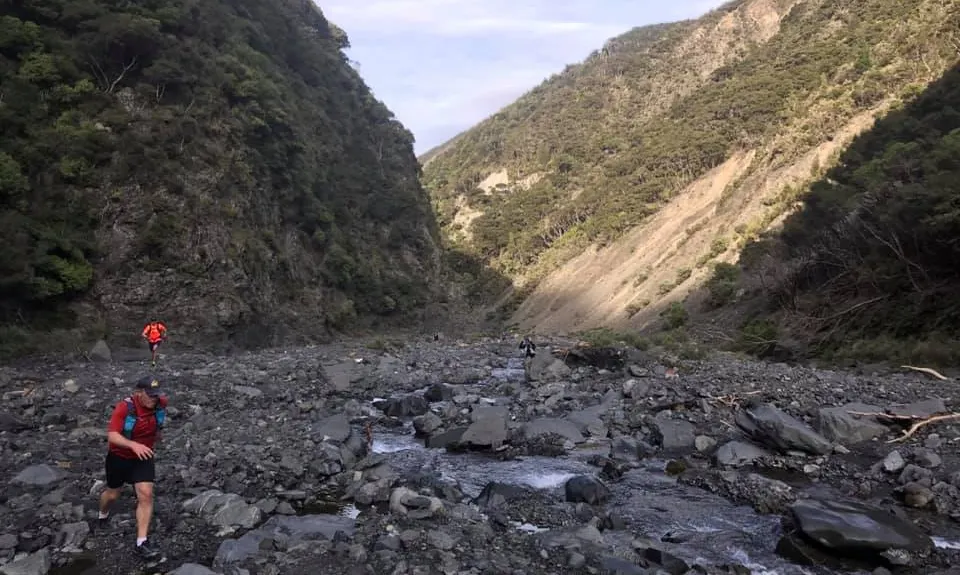
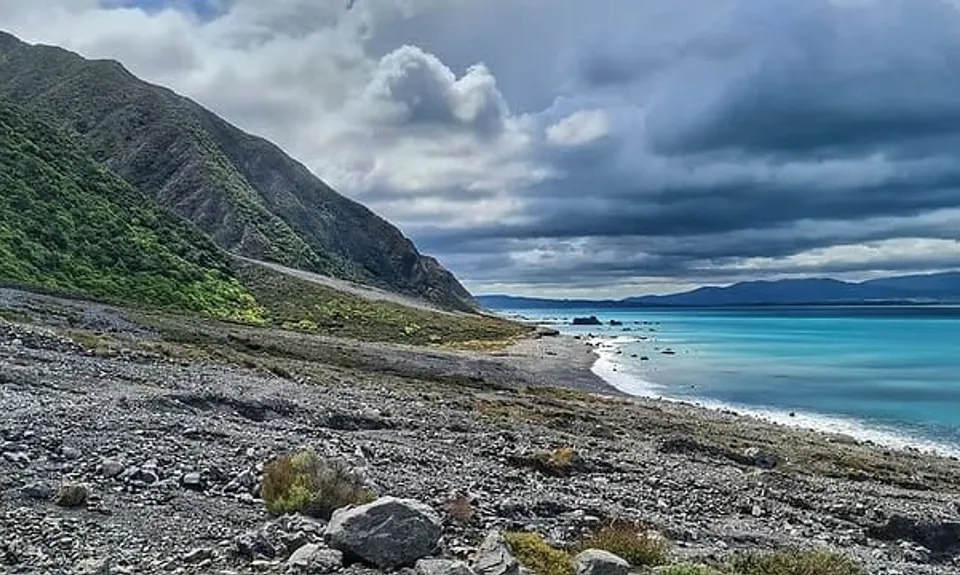
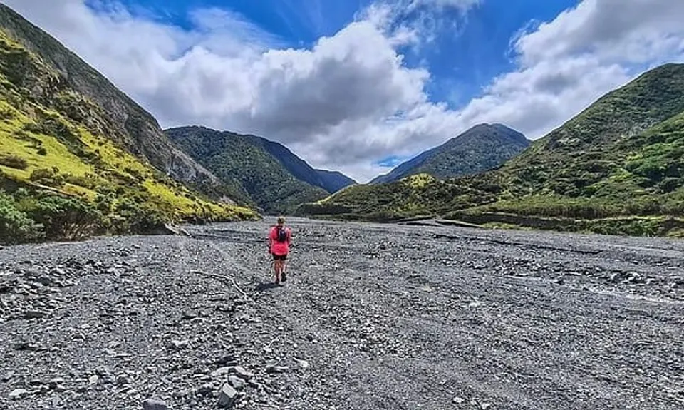
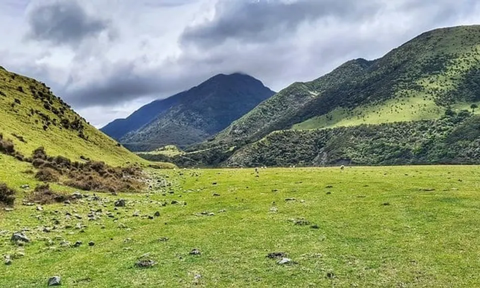
Mukamuka Munter
Last Updated: 26th Jun 2026
Open
Grunt Factor: 49 ?
Gnarl Factor: 38 ?
30.0km
965m
945m
570m


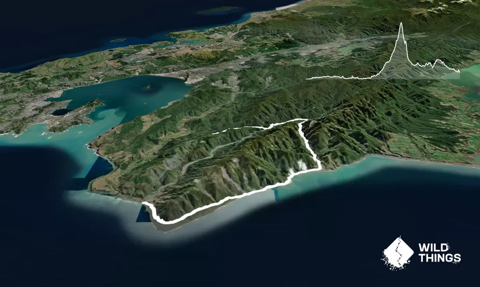
Trail Map
This Topo layer only covers NSW/ACT.
Switch to another map layer when viewing outside this area.
Switch to another map layer when viewing outside this area.