Last Updated: 4th Nov 2023
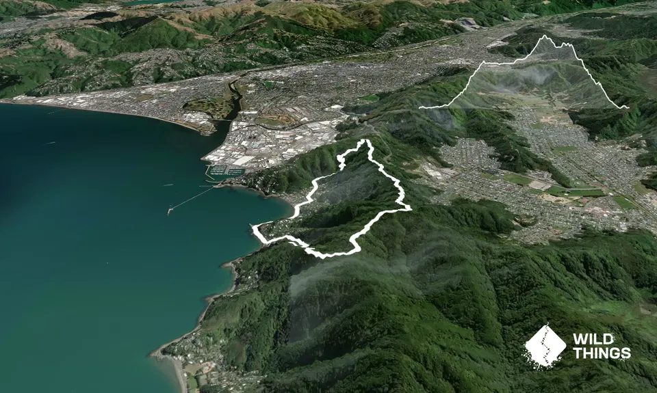
Mt Lowry
Last Updated: 4th Nov 2023
Open
Grunt Factor: 15 ?
Gnarl Factor: 57 ?
8.2km
465m
465m
355m
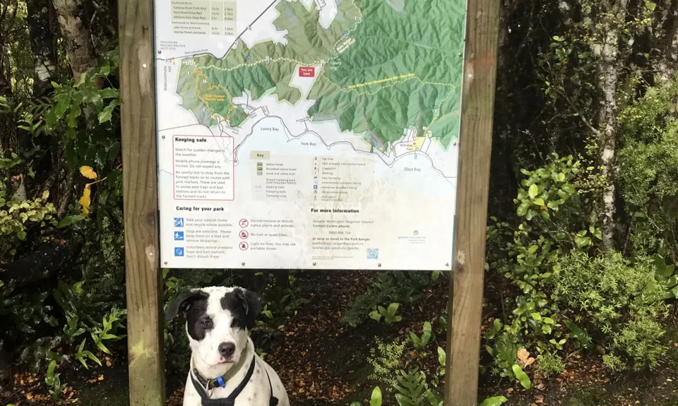

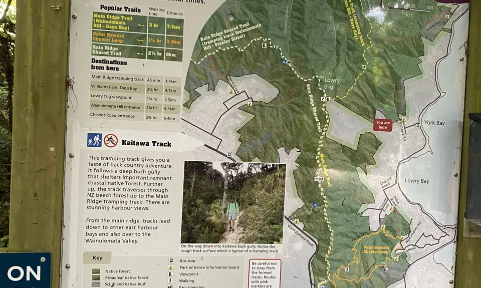
Trail Map
This Topo layer only covers NSW/ACT.
Switch to another map layer when viewing outside this area.
Switch to another map layer when viewing outside this area.


