Last Updated: 18th Apr 2024
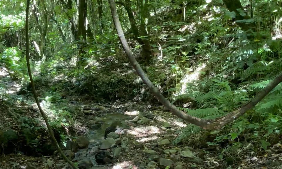
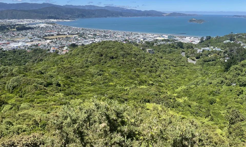
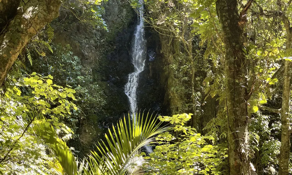
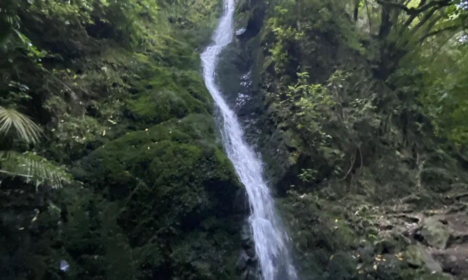
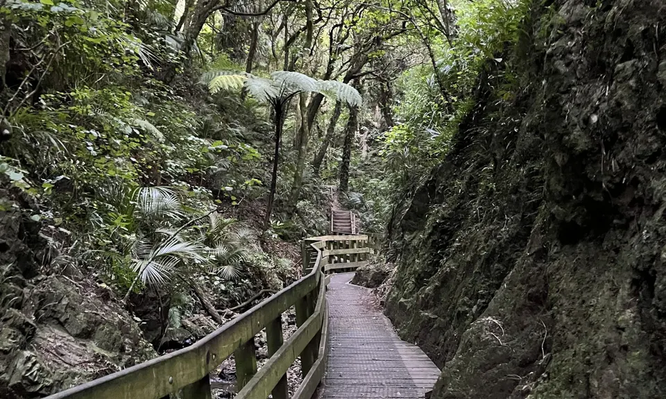
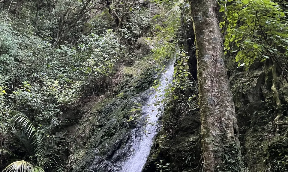
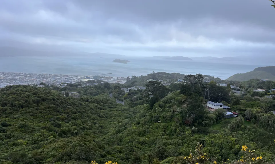
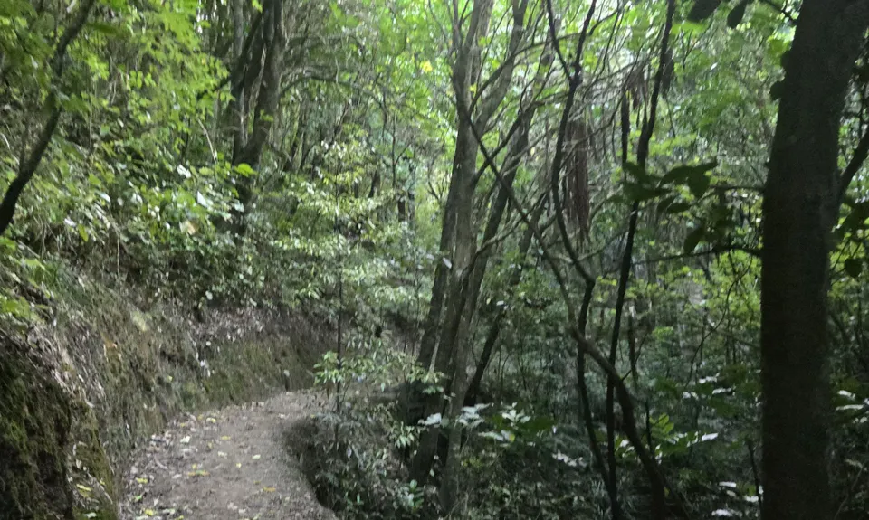
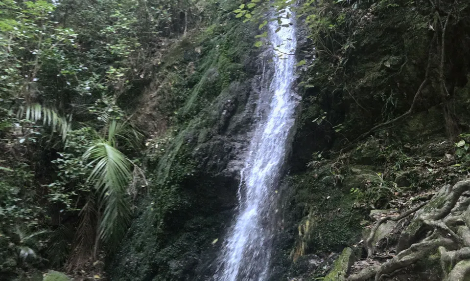
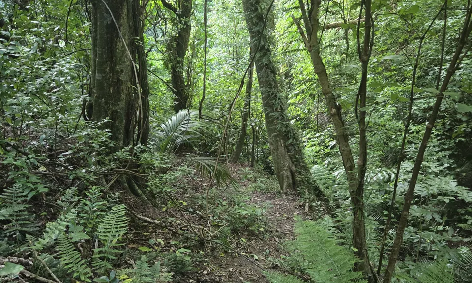
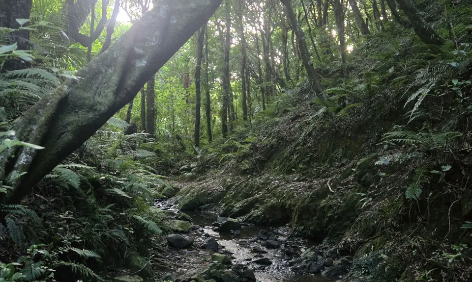
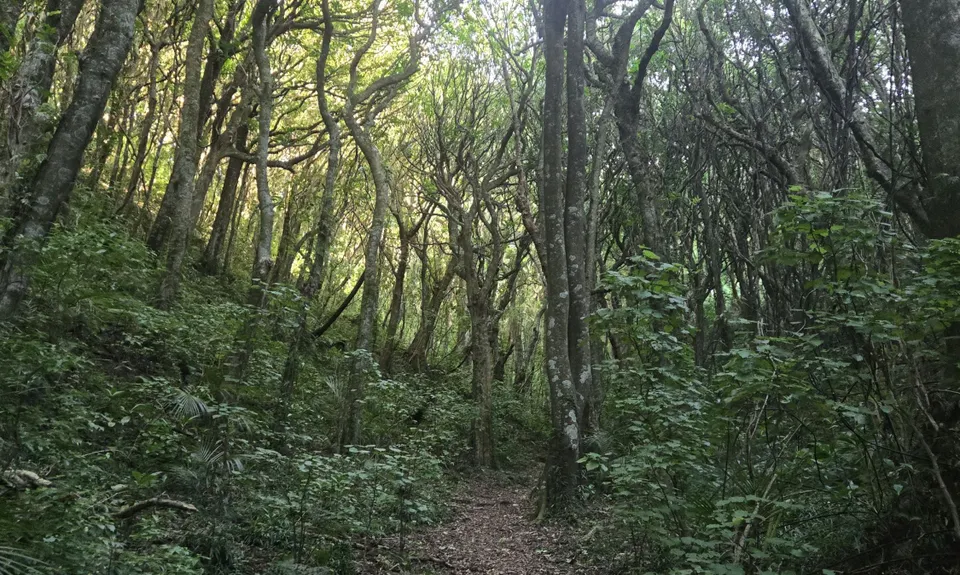
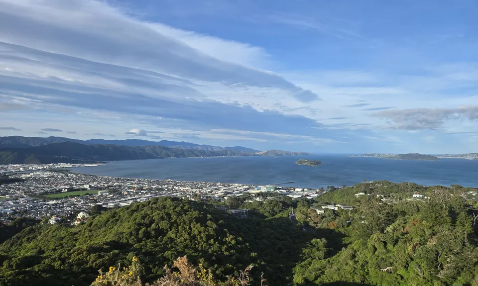
Sugarloaf and Waterfalls Loop
Last Updated: 18th Apr 2024
Grunt Factor: 8 ?
Gnarl Factor: 41 ?
4.6km
265m
250m
224m
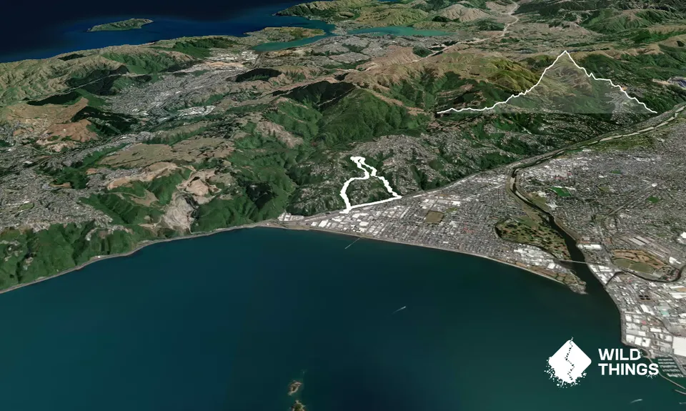
Trail Map
This Topo layer only covers NSW/ACT.
Switch to another map layer when viewing outside this area.
Switch to another map layer when viewing outside this area.


