Last Updated: 20th May 2024
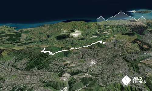
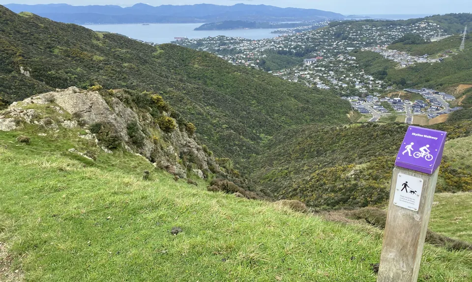
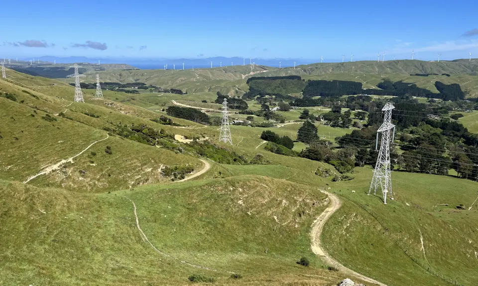
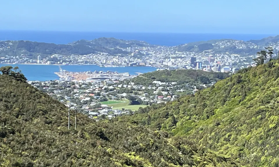
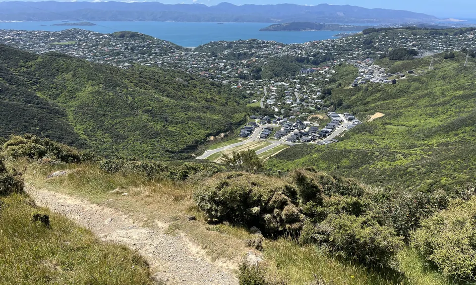
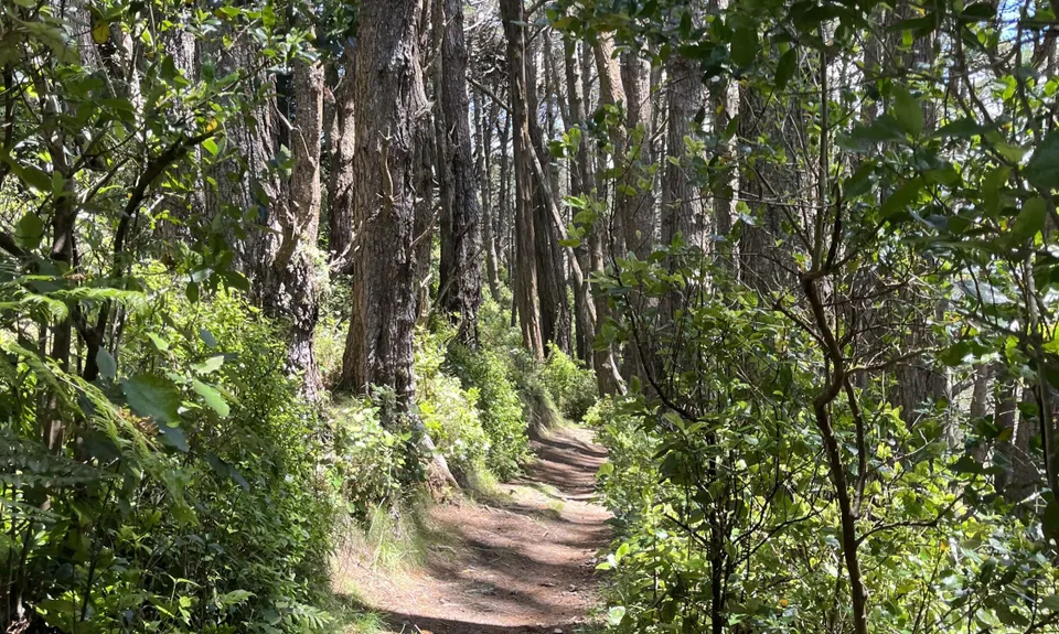
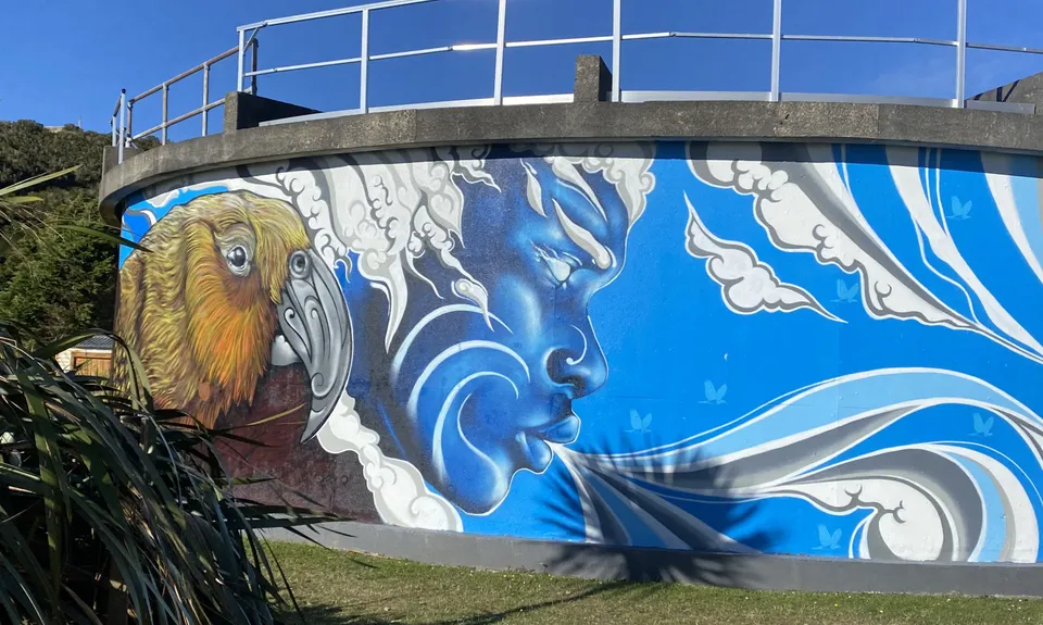
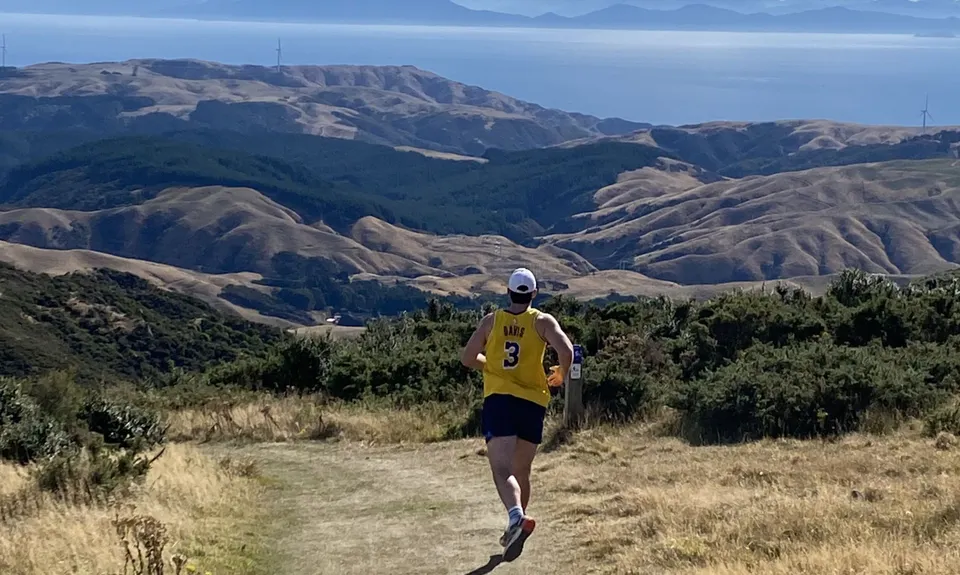
Full Wellington Skyline Trail
Last Updated: 20th May 2024
Open
Grunt Factor: 18 ?
Gnarl Factor: 19 ?
13.2km
655m
630m
458m
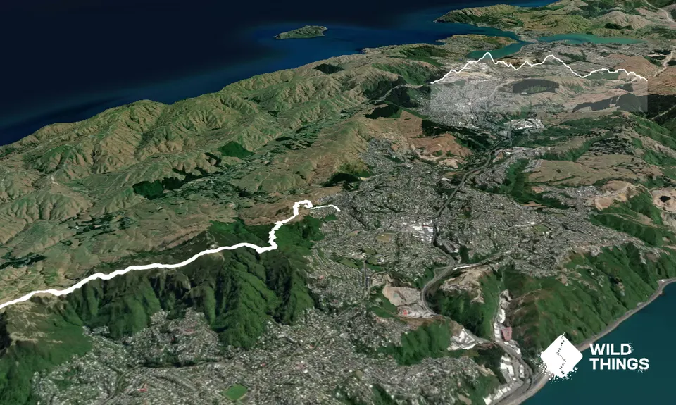
Trail Map
This Topo layer only covers NSW/ACT.
Switch to another map layer when viewing outside this area.
Switch to another map layer when viewing outside this area.