Last Updated: 20th Apr 2025
Baring It All
Last Updated: 20th Apr 2025
Open
Grunt Factor: 16 ?
Gnarl Factor: 56 ?
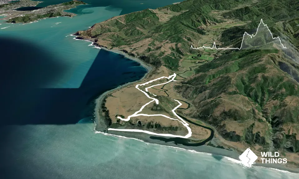
9.5km
320m
320m
170m
.jpg)
.jpg)
.jpg)
.jpg)
.jpg)
.jpg)
Trail Map
This Topo layer only covers NSW/ACT.
Switch to another map layer when viewing outside this area.
Switch to another map layer when viewing outside this area.


