Last Updated: 27th Nov 2025
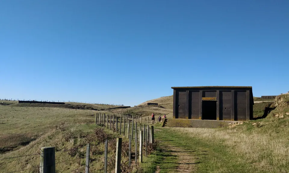
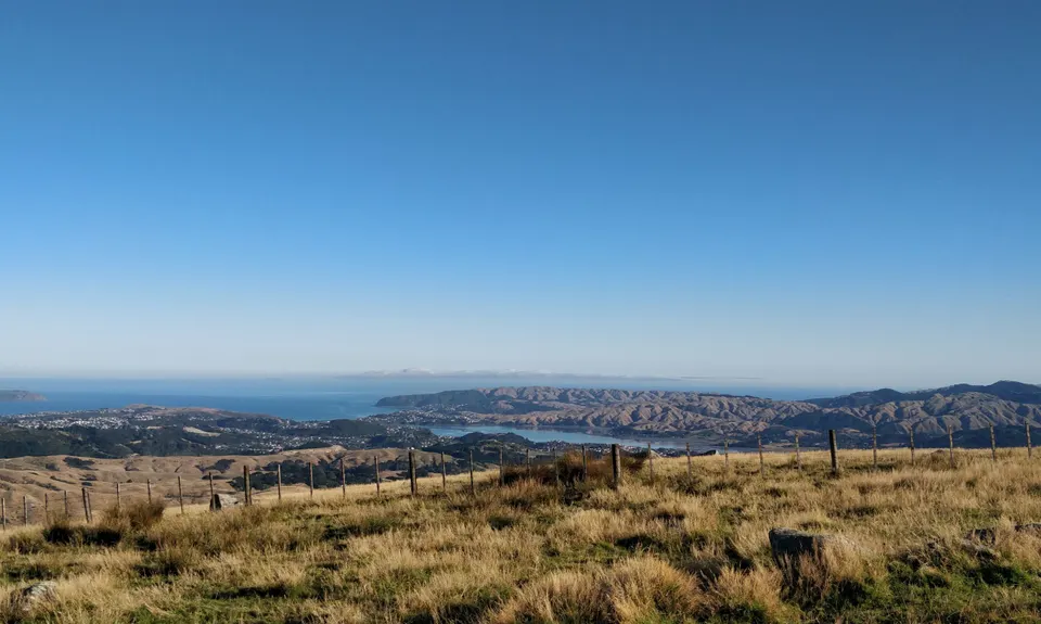
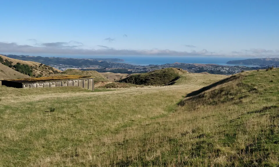
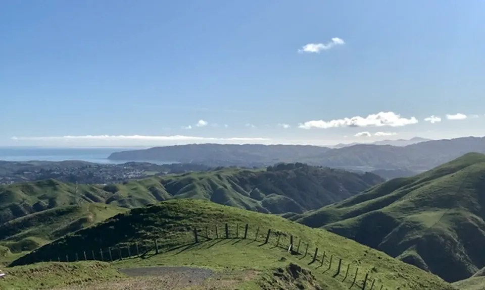
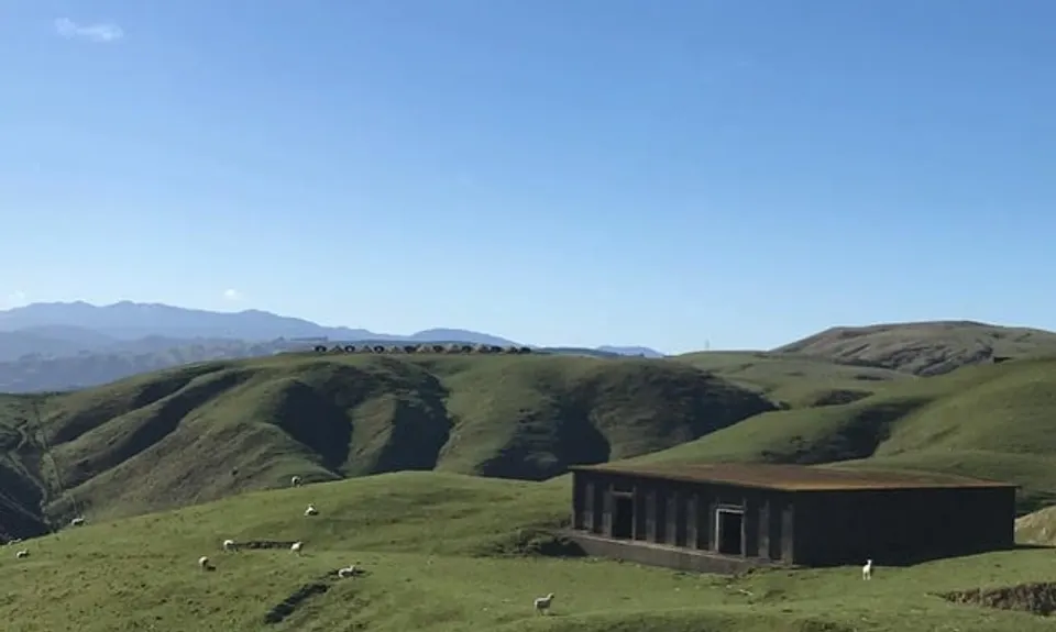
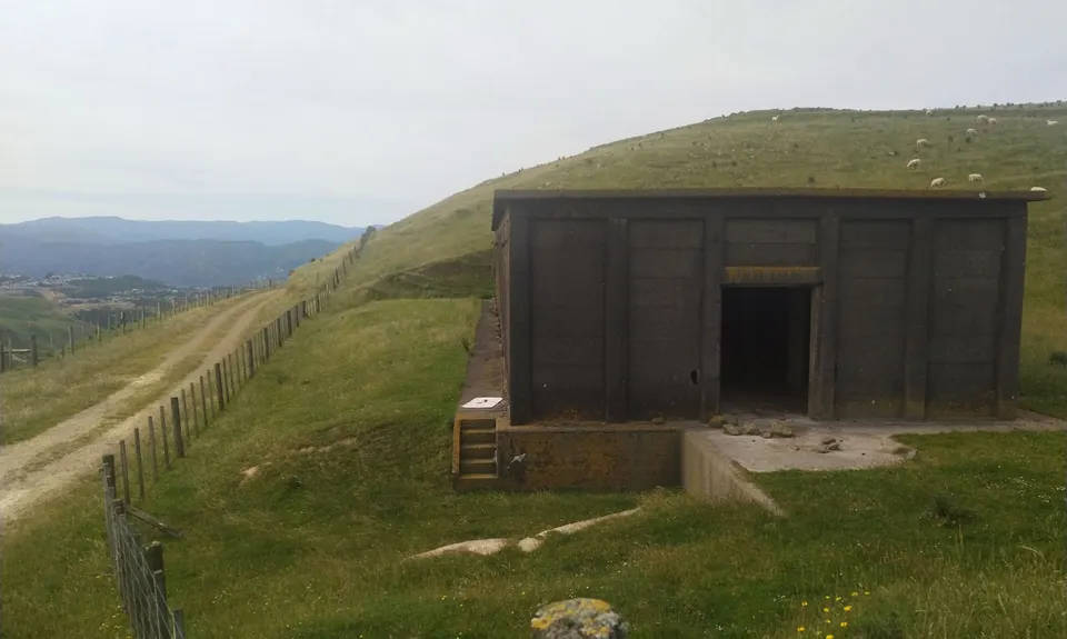
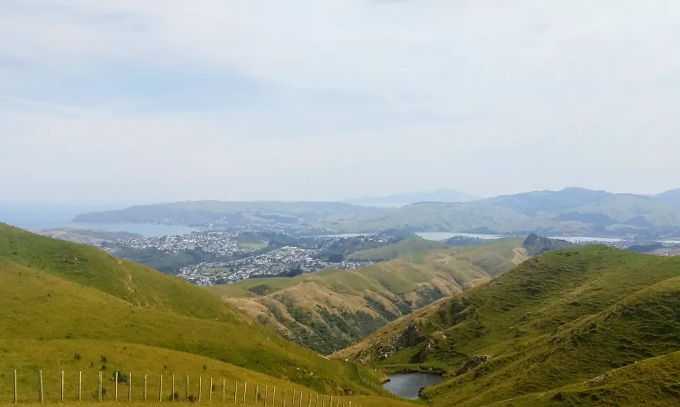
Puke Ariki Traverse
Last Updated: 27th Nov 2025
Grunt Factor: 27 ?
Gnarl Factor: 19 ?
22.4km
975m
990m
458m

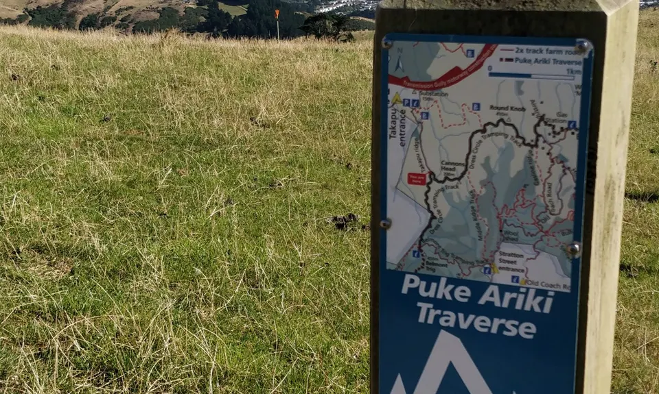
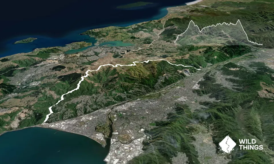
Trail Map
This Topo layer only covers NSW/ACT.
Switch to another map layer when viewing outside this area.
Switch to another map layer when viewing outside this area.